Download
1 / 15
150 likes | 261 Views
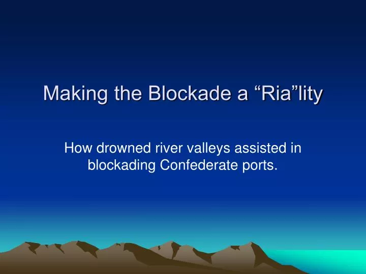
Making the Blockade a “Ria”lity. How drowned river valleys assisted in blockading Confederate ports. How Would You Prevent This?. Europe. TRADE. Confederate States of America. Courtesy of the University of Texas Libraries, The University of Texas at Austin. Anaconda Plan. 3. Your Task.

E N D
Making the Blockade a “Ria”lity How drowned river valleys assisted in blockading Confederate ports.
How Would You Prevent This? Europe TRADE Confederate States of America Courtesy of the University of Texas Libraries, The University of Texas at Austin.
Your Task • You are part of the Union Navy, and have been appointed to the the Blockade Strategy Board. • President Lincoln and General-in-Chief Winfield Scott have given you and the Board the task of figuring out how to stop trade between the South and Europe. • As part of the Board you will routinely receive reports from your scouts with additional information that may help you plan.When you receive this new information, you may immediately begin changing your plan accordingly.
Problems and Limitations • There are a few problems you will discover as you begin to formulate your plan to present to President Lincoln. • Your job is to solve these problems, and come up with a viable solution. • Limitations: • The Union has a small navy • Most ships are sailing vessels (quite slow) • Ships need to stay close together to be an effective blockade • Nearly 3500 miles of coastline needs to be blockaded • Most ports will have protection, not allowing ships to be within range • Ships can only travel so close to shore without running aground
Directions • Form into groups of 3 or 4 students • Using the maps and directions given you by the scouts (me) come up with your plan to stop Southern trade with Europe. • Answer the questions that accompany each scouting report, and be prepared to share/discuss with the class. • When a new scouting report is received, review it with the group, make any changes to your plan based on the new report, answer the questions, and be prepared to discuss with the class.
Report #1 • The following map was provided to you by the scouts. • It shows you nearly 3500 miles of coastline that needs to be accounted for in the blockade. • At its height, the Union Navy may have been close to 500 ships. • Not all of which could be used for blockading, and many needed to be used to ferry supplies from fort to fort or ship to ship. • You have 15 fleets of ships to place on this map in an attempt to effectively stop trade with Europe. • Represent each fleet by one small dot in the water on the map. • Be sure to consider entire coastline, from Texas in the west to Virginia in the east. • Once your group has placed each fleet, answer the questions and prepare to discuss with the other board members. Courtesy of the Arizona Geographic Alliance
Report #2 • Recognizing that more information is needed, the scouts have provided you with the following update: • A map showing major Confederate ports and rivers. • With this new information make any adjustments to the placement of your fleets. • Once you have decided how to place the fleets, answer the questions and prepare to share with the rest of the board. Courtesy of the Arizona Geographic Alliance
Report #3 • Your scouts have come back with some interesting information. • Most of these ports are located on rias. • Rias, also known as drowned river valleys. Over time as water levels rose from the last ice age, the river valleys filled in with water, “drowning” the valley and making a natural cove or bay. Rias can also be created when the land sinks and fills in with ocean water. This animation shows the ria development in England and France:http://www.discoverysoftware.co.uk/GallerySeaLevel.htm Look at the dark area on the map. This means the water is probably too shallow for a ship. Courtesy of Sons of the South (www.sonsofthesouth.net)
Report #3 Each group of Board members will be given a map of one port, and 1 fleet of five ships. You are now responsible for this port only. How would you stop trade from leaving this port? Draw one 1/8 inch long line for each ship. Once each of your five ships are placed, answer the questions, and prepare to share your findings with the Board. Courtesy of Sons of the South (www.sonsofthesouth.net) 10
How successful was the blockade? President Abraham Lincoln set up the massive blockade effort on April 19th, 1861. The United States Navy operating under the President and Union command commissioned over 500 ships, and while often rag tag in appearance, they were greatly successful, leading to the capture or destruction of nearly 1,500 smaller, Confederate Blockade runner ships. http://www.usmilitary.com/3359/civil-war-union-blockade/ 11
According to Edwin Punchard "[This?] reminds me of how when I was a boy we had to get our cotton to Brownsville during the war and send it through Mexico to the markets in Europe. From Brownsville and [?], Mexico, it was shipped across the ocean. One could see, the long wagon trains of cotton, drawn by oxen, all through the fall of the year as they slowly mended their way to the Mexican border. The reason for this was that part of the time the Texas ports were blockaded and all the time enemies were on the watch to confiscate produce of any kind, and especially cotton, as it sold for fifty cents a pound or more, during the blockade.” 12
According to Edwin Punchard "There would be from ten to twenty bales to the wagon and a train of wagons from ten to twenty in number. When they camped at night, they were drawn up in a circle to form a breastwork for defense from the robbers and Indians. These trips required from one to three months. If it was during rainy season, then they often had to camp by the creeks and rivers until they run down, for you must remember this was before the day of the bridge." 13
Final Task • You are the ship, the ria, or the port. • Create an “I am” poem, taking on the role of one of these objects, seeing things from its point of view. • Be creative with this, as you will be sharing this with the class tomorrow. • Begin in class today, complete tonight. • Drawing on your knowledge and experience from this activity, you will answer this essay question: What impact or significance did the physical geography of southern ports have on influencing the outcome of Winfield Scott’s Anaconda Plan? Use a specific example to make your argument. _ Complete tonight for homework.
Sources • http://www.lib.utexas.edu/maps/historical/ward_1912/atlantic_north_1803.jpg • http://alliance.la.asu.edu/azga/ • http://www.sonofthesouth.net/leefoundation/civil-war/1861/october/southern-ports-harbors.htm (permission pending)