Download
1 / 16
160 likes | 227 Views
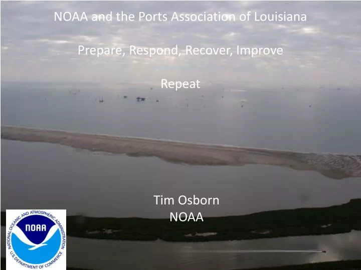
NOAA and the Ports Association of Louisiana Prepare, Respond, Recover, Improve Repeat. Tim Osborn NOAA. Hell! there ain’t no rules around here! We are tryin’ to accomplish somep’n! Thomas Edison. PREPARE. Arrival, Size, Severity, Coastal Flooding Impact.

E N D
NOAA and the Ports Association of Louisiana Prepare, Respond, Recover, Improve Repeat Tim Osborn NOAA
Hell! there ain’t no rules around here! We are tryin’ to accomplish somep’n! Thomas Edison
PREPARE Arrival, Size, Severity, Coastal Flooding Impact
Evacuation of Entergy Utility Trucks from Port Fourchon with the Approach of Hurricane Ike- A Category 2 Hurricane that Made Landfall in Southeast Coastal TexasSource- Robby Wilson, Port Fourchon Old Highway LA-1 New Elevated Causeway of LA-1 Connecting Port Fourchon to the New Leeville Bridge
South Lafourche Levee District Levee Southern Extent During Hurricane Ike Flooded Homes outside South Lafourche Levee District Levees and Flooded Highway LA-1 to Port Fourchon and Grand Isle South Lafourche Flood Gate now converted to a Lock Hurricane Ike Inundation South Lafourche Parish
RESPOND Coordinate, Inform, Coordinate, Inform…..
Coodinate- Timing Impact Access Priorities
NWS SLOSH storm surge model Weak Tropical Storms at Port Fourchon Will Inundate LA 1 to the Point of Closure- Source NWS New Orleans Baton Rouge – Category 0 Storm Surge Slosh Ouput. Galliano Water level reference to datum - NAVD88 Grand Isle Port Fourchon
NOAA OAR, 2012. Global Sea Level Rise Scenarios for the United States National Climate Assessment, NOAA Technical Report OAR CPO-1, NOAA Climate Program Office, Silver Spring, MD, December 2012, 29pp. http://www.cpo.noaa.gov/reports/sealevel The high scenario shows global sea level rise by 2100 of 2.0m (about 6.5 ft.); an intermediate high scenario of 1.2m (about 4 ft.); an intermediate - low scenario of 0.5m (about 1.6 ft.); and a low scenario of 0.2m (0.7 ft.)
The National Climate Assessment The National Climate Assessment (NCA) is being conducted under the authority of the Global Change Research Act (GCRA) of 1990. The GCRA requires a report to the President and the Congress every four years that integrates, evaluates, and interprets the findings of the U.S. Global Change Research Program (USGCRP). The Act requires assessment of the effects of global change (both human-induced and natural) on the natural environment, agriculture, energy production and use, land and water resources, transportation, human health and welfare, human social systems, and biological diversity. The time periods for analysis include current conditions as well as projections of major trends for the subsequent 25 to 100 years. National climate assessments provide status reports about climate change science and impacts. They are based on observations collected across the country as well as research that uses projections from climate system and other models. The NCA incorporates advances in the understanding of climate science into larger social, ecological, and policy systems, and provides integrated analyses of impacts and vulnerability. The NCA integrates scientific information from multiple sources and highlights key findings and significant gaps in our knowledge. It also helps the federal government prioritize climate research investments that will provide science for use by communities around the country to plan more sustainably for our future.