Download
1 / 16
160 likes | 305 Views
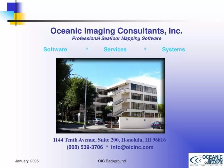
Oceanic Imaging Consultants, Inc. Professional Seafloor Mapping Software. Software * Services * Systems. Manoa Innovation Center. 1144 Tenth Avenue, Suite 200, Honolulu, HI 96816 (808) 539-3706 * info@oicinc.com. Earth. Hawaiian Islands. O`ahu.

E N D
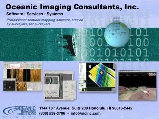
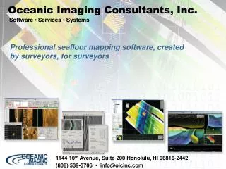
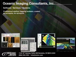
Oceanic Imaging Consultants, Inc.Professional Seafloor Mapping Software Software * Services * Systems Manoa Innovation Center 1144 Tenth Avenue, Suite 200, Honolulu, HI 96816 (808) 539-3706 * info@oicinc.com
Earth Hawaiian Islands O`ahu Kaimuki
Company Overview • 1993: OIC founded; spin-off of UHM research • Research contracts funded by the Office of Naval Research • Releases OICToolkit for use in mosaicking sonar data • 1994: OIC releases GeoDAS – Geophysical Data Acquisition System (JWcubed == Just what we want) • 1995: OIC Awarded contract with JHU to support USN real-time Ocean Data Acquisition Program • 1998: OIC releases GeoDAS-PC, wins contract for NAVOCEANO fleet modernization, 30 systems. • 2000: OIC releases ROVer’s Eye, begins work on optics
OIC Client List (abbreviated) USN (via JHU, with Ultra) JHU Ocean Data Acquisition Program (ODAP) 6 systems to be deployed by 2007, SAS on the way NAVOCEANO TAGS-60 Fleet modernization plus HSL’s 30 systems, Klein, Edgetech, Benthos, MSTL Army Corps of Engineers Baltimore, Phili, New Orleans, Jacksonville, Mobile… Largely interfaced to Odom, Reson & Klein sonar Commercial Survey Groups Aero Asahi Survey, Sanyo, SAIC, C&C, Fugro, OSI, etc. Govt. Groups: JAMSTEC, KORDI, Port of London, Aberdeen Harbor, Singapore Navy, COMRA, WHOI, etc.
Data Formats OIC MBIO QMIPS XTF SEG-Y MSTL Multi-Beam Systems Hydrosweep Odom Echoscan RESON SEABEAM SIMRAD Systems & Formats Supported by OIC Software Sidescan Systems • SeaMARC (I, II, MR-1) • GLORIA / TOBI • EDO • EG&G / EDGETECH • Klein (595, 2000, 3K, 5K) • SeaScan (Korea) • Ultra Electronics Deepscan • SSI, TAMU, Etc • AMS-120 (DSL) • Datasonics/Benthos • Tritech • Imagenix • RDI
What does OIC make? • Software and Systems for Seafloor Mapping • For Data Acquisition: • GeoDAS: Geophysical Data Acquisition System • For Post-Acquisition Processing: • GeoDAS-Desktop - PC-based, playback, edit, mosaic • OICToolkit: Full-featured Post-processing • New: PC-Version, OICCleansweep • For Data Visualization/Analysis: • ROVer’s Eye – Real-time 3-D underwater VR • OICClass: seafloor classification • For Databasing and Charting: • GridServer and ERMapper
Acquisition: GeoDAS-PC Geophysical Data Acquisition System. Good data made easy, right out of the box. Sidescans: Benthos, Edgetech, Edo, Imagenix, Klein, Ultra Multibeam: Odom, Reson, Seabeam, Simrad Optical: Laser Linescan, Electronic Still Cameras
Acquisition: GeoDAS-MB Tailor-made for Multibeam Acquisition • real-time processing includes full heave, pitch, roll & refraction corrections • Simultaneous support of beam-amplitude, backscatter & snippets
Acquisition: GeoDAS-LT Low-cost Data Acquisition & Display…All the Features, Half the cost. • Budget-priced data acquisition; All the functions, none of the headaches! • Interfaces to Serial Devices (Mag, Fatho, Serial sidescans, etc. ) • Can also serve as a remote display client
Post-Processing: Desktop Cost-effective Sonar Data Processing Software. Systems Supported : OIC, MSTL, C-MAX, QMIPS, XTF, Klein, Tritech & Imagenix
Post-Processing: OICSwath UNIX-based Post-Acquisition processing for sidescan data & swath bathymetry.
Post-Processing: OICcleansweep Next-generation sidescan/bathymetry post-processing • Reads OIC, XTF, QMIPS, MSTL, SDF, CMAX, S81, Hypack & other files • Supports interactive processing of both sidescan and bathymetry • Handles both interferometric and multibeam bathymetry data • Produces geo-coded output ready for charting/GIS
Analysis/Vis: ROVer’s Eye Real-time 3-D visualization tool. Displays your vehicle over your data in real-time
Analysis/Vis: OICpipetrack Automatic Pipeline Tracking & Free-span Detection Software • Automatic span detection, classification & reporting • Saves “snippets” plus .xls reports for each span
Analysis/Vis: OICclass Image Analysis/Classification tool Analyses intensity, texture & fractal dimension Supervised and un-supervised classification Allows training from geo-coded ground-truth
Analysis/Vis: OICclass Image Analysis/Classification tool Analyses intensity, texture & fractal dimension Supervised and un-supervised classification Allows training from geo-coded ground-truth Exports maps as GeoTIFFs