Download
1 / 9
100 likes | 298 Views
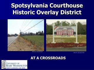
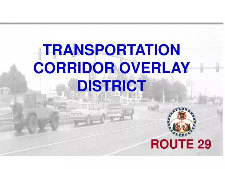
TRANSPORTATION CORRIDOR OVERLAY DISTRICT. ROUTE 29. BACKGROUND. An overlay district was first proposed in the Route 29 Corridor Management Study completed in July 2001 by Parsons Corporation working under a VDOT grant.

E N D
BACKGROUND • An overlay district was first proposed in the Route 29 Corridor Management Study completed in July 2001 by Parsons Corporation working under a VDOT grant. • The Campbell County Comprehensive Plan 2003-2018 was adopted by the Board of Supervisors in February 2003 and listed an objective to consider overlay districts in land use planning. • A follow-up study on the Rt. 29 Corridor was completed by MRG Consulting in November 2005. The study recommended pursuing the transportation corridor overlay district. The Board of Supervisors directed staff to prepare a draft ordinance. • Why? Development along the corridor contributes to increasing traffic, more traffic signals and lower speed limits. Existing zoning regulations do not directly address traffic issues.
BACKGROUND • There are 29,000 vehicles per day using Route 29 from Colonial Highway (Rt.24) northward and 18,000 vehicles per day using Route 29 south of Colonial Highway. Traffic counts show the numbers are steadily increasing. • There are five signalized intersections and 22 other intersections; the speed limit decreases to 45 mph around each signalized intersection. The number of traffic signals is increasing.
BACKGROUND • There are 63 median crossovers, and approximately 600 access points (driveways and other roads). • Each access point and median crossover is a place for vehicles to turn, which contributes to traffic accidents and the general slowing of the traffic flow.
WHAT IS AN OVERLAY DISTRICT? • It is an addition to the existing zoning ordinance; it does not replace or change the zoning designation on a property • It is specific to the boundaries identified in the ordinance (in this case properties fronting Route 29) • It addresses specific needs (in this case efficient and safe traffic flow)
WHAT ARE WE TRYING TO ACCOMPLISH? • Allow for continued development along Route 29 in ways that will minimize negative impacts on traffic flow • Maintain the flow of traffic at current speed limits for as long as possible • Maintain or improve traffic safety
KEY ORDINANCE PROVISIONS • Encourages shared entrances and connections between adjacent parking lots when a property is developed • Encourages turning lanes and other traffic management when a property is developed • Limits new construction and signs within 50 feet of the right-of-way to preserve visibility • Requires residential or agricultural subdivisions to construct their own roads and not use Route 29 for driveway access
KEY ORDINANCE PROVISIONS • Prevents developers from proposing new traffic signals without Board and VDOT approval • Prevents an increase in the number of median crossovers • Applies only to new development, new subdivisions, expansions or changes in use. The ordinance does not require any action by an owner until they decide to develop or change the property in some way. • No existing lot will be landlocked. A current lot shall not be denied an entrance if no reasonable alternative access is possible.
TRANSPORTATION CORRIDOR OVERLAY DISTRICT QUESTIONS? ROUTE 29