Download
1 / 25
250 likes | 257 Views
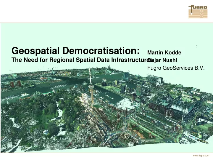
Geospatial Democratisation: The Need for Regional Spatial Data Infrastructures. Martin Kodde Bujar Nushi Fugro GeoServices B.V. Geospatial Democratisation. Introduction Fugro The democratisation of the industry Mind shift in use of geospatial data VISOR Conclusions.

E N D
Geospatial Democratisation: The Need for Regional Spatial Data Infrastructures Martin Kodde Bujar Nushi Fugro GeoServices B.V.
Geospatial Democratisation • Introduction Fugro • The democratisation of the industry • Mind shift in use of geospatial data • VISOR • Conclusions
Geospatial Democratisation • Introduction Fugro • The democratisation of the industry • Mind shift in use of geospatial data • VISOR • Conclusions
History Fugro was founded in the Netherlands in 1962 and has been listed on the Euronext Amsterdam since 1992. It has grown organically and through acquisition, and now employs over 11,500 people in over 50 countries.
11,500 Employees 49 Vessels 75 CPT Trucks 27 Laboratories 29 Jack-up Platforms 261 Land-based Drill Rigs 17 Offshore Drill Rigs 27 Aircraft 150 ROVs 9 AUVs 250 Offices Resources Fugro’s people, vessels, equipment and facilities are continually growing in capability and expertise in order to meet the demand for continuous high quality services in ever-more challenging regions of the globe.
Fugro ambition Fugro is taking on the monumental task of investigating planet Earth.
Geospatial Democratisation • Introduction Fugro • The democratisation of the industry • Mind shift in use of geospatial data • VISOR • Conclusions
From traditional … The geospatial industry used to be a highly specialised and rather impenetrable society, inhabited by professionals who relied on multiple years of education.
… to sophisticated … 3D data acquisition technologies such as laser scanning and UAVs are rapidly developing, soon to reach price levels that are acceptable to individuals.
Data acquisition Date
The democratisation of the industry Anybody who has a need now has the tools to collect, disseminate and review geospatial data on it own behalf.
Geospatial Democratisation • Introduction Fugro • The democratisation of the industry • Mind shift in use of geospatial data • VISOR • Conclusions
Mind shift in use of geospatial data • This development has also changed the way users and professionals expect to work with geospatial data. • They want their information to be available at any time and at any place. • They also want to update the data if needed.
Less detailed data More detailed data SDI Hierarchy SDI Hierarchy (Rajabifart 2001) Traditionally, national governments established SDIs to distribute datasets that they considered important. However, these SDIs are mostly one way traffic, and, more importantly, do not contain the data that is of most importance.
Big data Source: IDC's Digital Universe Study (December 2012) From now to 2020, the digital universe will grow by a factor of 300, from 130 exabytes to 40,000 exabytes, or 40 trillion gigabytes From now until 2020, the digital universe will about double every two years.
Large effect at the local SDI level • The information that is truly dynamic and immediately affects people’s daily life is at a regional and local level. • Municipalities for instance maintain tons of useful data that is of great interest to both professionals and citizens. However, access to these data is typically difficult and restricted to a limited user base. • Data is stored in proprietary formats of vendors that are not compatible to each other.
Geospatial Democratisation • Introduction Fugro • The democratisation of the industry • Mind shift in use of geospatial data • VISOR • Conclusions
We propose VISOR We propose a regional spatial data infrastructure, called VISOR. • VISOR serves the data within a municipality while matching the user expectations mentioned before. • VISOR improves the efficiency within a municipal organisation. • VISOR prepares governments to the Open Data future, the next big step in a democratised industry.
Everyone connected Waterbeheer Vastgoed Mileu Verlichting RO Front-office Bouw BOR Informatiebeheer Bodem Back-office applicaties Infrastructuur Economie Handhaving Cultuur en welzijn Energie Stedenbouwkunde Ontwerp & Realisatie Mobile app’s Connection between data and user • New solid foundation for modern architecture • No packets with installers, but a definition of standards to combine multiple sources • All users connected • All applications connected • From obligation to interesting possibilities
Infrastructure – service bus Inwinnen Beheren Operationeel Gebruik Monitoren en Sturen Flaim 2D en 3D data Mutations 3D City Model Zicht op je assets Terestrial 2D en 3D data Editor Melding Openbare Ruimte Prestatie Gericht Aanbesteden Mobiel Voorbereiding Civiel Technische projecten Beleidsondersteuning VISOR basis infrastructuur 3D Ready IMGeo|BGT • Berichtenmakelaar • BOR • SVB-BGT Toegang tot (basis)registraties GIS viewer
Scalable, flexible and open Growing in small steps • Geoinformation management is moving with policies, aspirations and organization development. • Using existing applications • Open standard
Geospatial Democratisation • Introduction Fugro • The democratisation of the industry • Mind shift in use of geospatial data • VISOR • Conclusions
Conclusion • SDIs are just too valuable at regional/local level. • SDI democratization is bottom-up, starting from the local level. • Tremendous level of applied science and practical experience available within commercial companies. • Suggestion to academia: • Involve businesses in SDI implementation. • Develop standards from local SDI level perceptive.