Download
1 / 16
170 likes | 373 Views
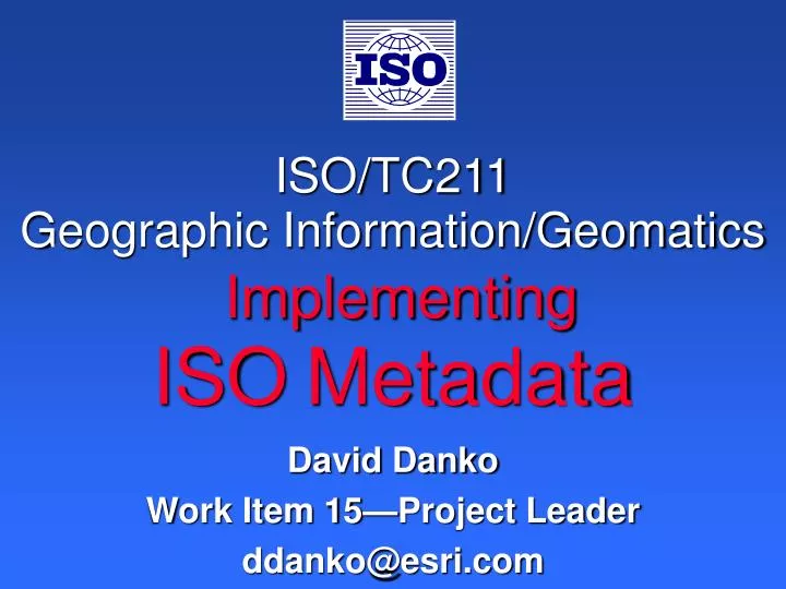
ISO/TC211 Geographic Information/Geomatics Implementing ISO Metadata. David Danko Work Item 15 — Project Leader ddanko@esri.com. ISO/DIS 19115 Metadata. Transfer. 1. Create Content. Archive. Use. 2. Document. Discover, Evaluate. 3. Catalog. Publish Services. 4. Publish. 5. Locate

E N D
ISO/TC211Geographic Information/GeomaticsImplementingISOMetadata David Danko Work Item 15—Project Leader ddanko@esri.com
Transfer 1. Create Content Archive Use 2. Document Discover, Evaluate 3. Catalog Publish Services 4. Publish 5. Locate 6. Evaluate 7. Extract Create Data and Services 8. Employ Catalog 9. Archive Document With Metadata Data and services life cycle Catalog Portal Metadata
Locate Advertise Discover Evaluate Restrictions Quality Reputation Extract Order Download Employ Apply Use MetadataThe Right Data for the Right Purpose Understanding Data
Identification Information Reference System Information Locate Distribution Information Data Quality Information 19108, 11, 12 Content Information Evaluate 19113, 14 19110, 21, 23, 24 Extract Application Schema Information Metadata Extension Information Constraint Information 19107 19109 Employ 19117 Spatial Representation Information Portrayal Catalogue Information Maintenance Information Metadata Packages
Problem: Focus on data/services “not important” Too much trouble Solution: Must be integral part of operations Part of data collection process Easy to do Stay with the data Life-cycle support Metadata Issues
Design Goals for Metadata in ArcCatalog • Make it easy to create and use metadata • Create editors that are easy to use • Create and update metadata automatically with a dataset’s current properties
Design Goals for Metadata in ArcCatalog • Support ISO metadata content standard out of the box • Support other standards through customization • Support metadata for everything • Geographic data, nonspatial files, folders, databases, etc.
Design Goals for Metadata in ArcCatalog • Metadata is part of the data • Travels with the data when copied, moved, renamed, or exported • Doesn’t get lost • Use open, flexible, industry- standard technology • Metadata stored in XML format
ISO Metadata Tools in ArcCatalog • Editor for typing information • Style sheets for viewing • Synchronizer for updating automatically • Importers and exporters • Translator from one standard to another
ISO Metadata Editor • Wizard-based editor designed for the average person • Elements are introduced by plain language • Navigate with Next and Back buttons or go directly to a page using the TOC • Handles core elements as defined by 19115
ISO Synchronizer • Automates much of the work for metadata collection and maintenance • Vector and raster information, spatial reference, etc. Automatically senses and records properties Automatically senses and records properties ArcIMS Services Files
ArcIMSMetadata Server Internet ArcSDE ArcCatalog Metadata Server Discover Z39.50 Clearinghouses Geography Network Author Publish ArcIMS 4 allows easier metadata publishing
Spatial Data InfrastructureZ39.50 Catalog Services • Federation of Users • Technology Platforms and Standards • Enterprise Systems and Communities
HTML or Java Metadata Explorer Clearinghouse Z39.50 ArcCatalog Geography Network Metadata Catalog Searching for Geospatial Data
ISO 19115 Standard Based on a harmonized object model Designed to support geographic information Designed to fill a broad range of requirements Designed to serve the global community in a multinational multi-language environment Recommended core with a full comprehensive profile Metadata in an ISO standard Allows expanded networks Provides a common understanding Global Interoperability Metadata is absolutely essential for all aspects of spatial data handling Locate Evaluate Extract Employ ISO 19115 development Based on a solid foundation of national, regional, and information community standards Has broad global participation Has gone through formal development cycles SummaryISO Metadata Easy to do The Foundation for a Global Spatial Data Infrastructure