Download
1 / 13
140 likes | 313 Views
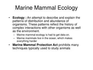
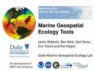
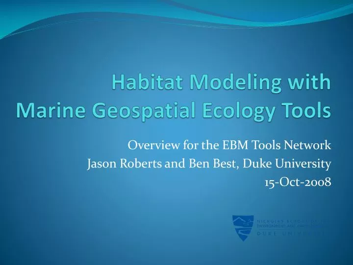
Habitat Modeling with Marine Geospatial Ecology Tools. Overview for the EBM Tools Network Jason Roberts and Ben Best, Duke University 15-Oct-2008. Duke Marine Geospatial Ecology Lab. Duke Main Campus Durham, North Carolina. Washington, D.C. Jason Roberts. Duke Marine Lab

E N D
Habitat Modeling with Marine Geospatial Ecology Tools Overview for the EBM Tools Network Jason Roberts and Ben Best, Duke University 15-Oct-2008
Duke Marine Geospatial Ecology Lab Duke Main Campus Durham, North Carolina Washington, D.C. Jason Roberts Duke Marine Lab Beaufort, North Carolina Caroline Good Connie Kot Elliott Hazen Erin LaBrecque Lab Director: Dr. Patrick N. Halpin Sarasota, Florida Staff and Students: Ben Best Andre Boustany Andrew Dimatteo Ben Donnally Ari Friedlaender Ei Fujioka Rob Schick Daniel Dunn University of Queensland Brisbane, Australia Eric Treml
Talk outline • Overview of Marine Geospatial Ecology Tools (MGET) • Live demonstration of habitat modeling in ArcGIS • Questions
What is MGET? • A collection of geoprocessing tools for marine ecology • Oceanographic data management and analysis • Habitat modeling, connectivity modeling, statistics • Highly modular; designed to be used in many scenarios • Emphasis on batch processing and interoperability • Free, open source • Written in Python, R, MATLAB, and C++ • Designed mainly for intermediate-skill ArcGIS users • Minimum requirements: Win XP, ArcGIS 9.1, Python 2.4 • ArcGIS and Windows are only non-free requirements
MGET interface in ArcGIS The MGET toolbox appears in the ArcToolbox window
MGET interface in ArcGIS • Drill into the toolbox to find the tools • Double-click tools to execute directly, or drag to geoprocessing models to create a workflow
Interoperability MGET “tools” are really just Python functions.MGET exposes them to several types of external callers.
Integration The Python function that implements an MGET tool can invoke C++, MATLAB, R, ArcGIS, and COM classes.
Habitat modeling example Probability of occurrence predicted from environmental covariates Presence/absence observations Multivariate statistical model Sampled environmental data Binary classification Bathymetry SST Chlorophyll
Live demonstration • Purpose: show how MGET can assist you with habitat modeling • Not a training on how to do habitat modeling! • Not enough time to delve deeply into hard problems, such as: • Selecting environmental predictors appropriate for the species • Dealing with missing environmental data (e.g., caused by clouds) • Generating absence points when none are available • Selecting a suitable statistical approach (e.g. GLM, GAM, CART) • Selecting predictors for the model and how they should be fitted • Interpreting the statistics and plots output by the model • Evaluating the model’s performance • Making management decisions based on the model’s output • The demonstration uses real data but the analysis is not intended to be scientifically defensible; it is just a demo of the tools!
Live demonstration If you missed the live demonstration, please check the MGET web site http://code.env.duke.edu/projects/mget for a written example.
Acknowledgements Thanks to NOAA SEFSC for making the 1999 Atlantic Survey data available, the observers and crew of NOAA Ship Oregon II Cruise OT 99-05 (236) for collecting it, and to OBIS-SEMAP for hosting it. http://seamap.env.duke.edu Thanks to our funders:
For more information Download MGET: http://code.env.duke.edu/projects/mget Contact us: jason.roberts@duke.edu, bbest@duke.edu Learn more about habitat modeling: Guisan, A., Zimmermann, N.E., 2000. Predictive habitat distribution models in ecology. Ecological Modelling 135, 147–186. Thanks for attending!