Download
1 / 27
280 likes | 517 Views
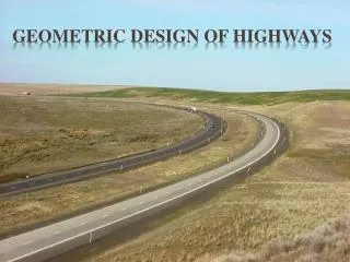
Geometric Design. CEE 320 Anne Goodchild. Introductions. http://www.youtube.com/watch?v=U_JF_xPhpKA http://www.youtube.com/watch?v=-UYbvFh8_pQ. Outline. Concepts Vertical Alignment Fundamentals Crest Vertical Curves Sag Vertical Curves Examples Horizontal Alignment Fundamentals

E N D
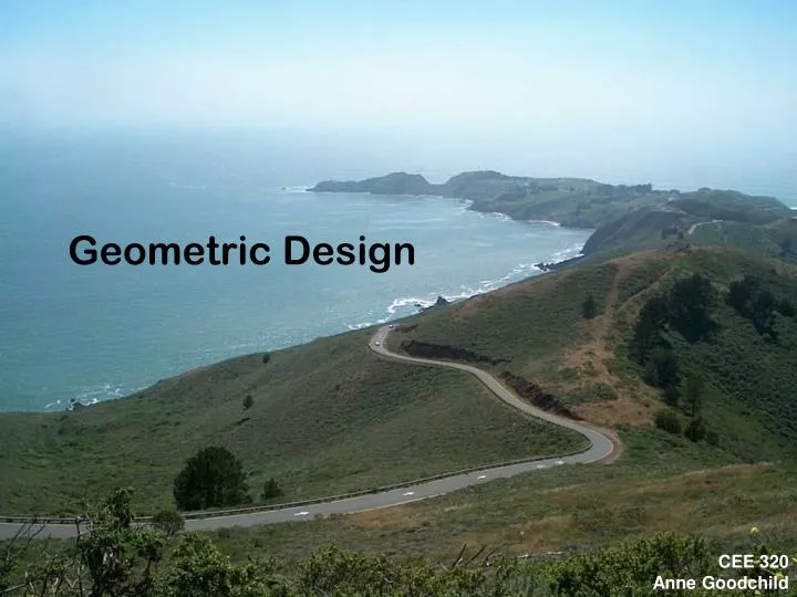
Geometric Design CEE 320Anne Goodchild
Introductions • http://www.youtube.com/watch?v=U_JF_xPhpKA • http://www.youtube.com/watch?v=-UYbvFh8_pQ
Outline • Concepts • Vertical Alignment • Fundamentals • Crest Vertical Curves • Sag Vertical Curves • Examples • Horizontal Alignment • Fundamentals • Superelevation • Other Stuff
Draw a roadway • Street view • Arial view • Side view
Identify a point on that roadway • Address (relative system) • Milepost system • Linear referencing system • Grid system • Longitude and latitude • Altitude
Highway Alignment • Simplify from x-y plane to a linear reference system (distance along that roadway) • Assume travel is along some horizontal plane, not the surface of the earth • Elevation from this horizontal plane
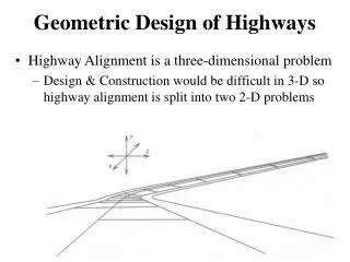
Alignment is a 3D problem broken down into two 2D problems Horizontal Alignment (plan view) Vertical Alignment (profile view) Stationing Along horizontal alignment One station is 100 feet along the horizontal plane 12+00 = 1,200 ft. The point of origin or reference is at station 0+00 Points along the line (in a plan view sense) can be identified Concepts Piilani Highway on Maui
Stationing – Linear Reference System Horizontal Alignment Vertical Alignment
Stationing – Linear Reference System Horizontal Alignment 2+00 0+00 1+00 3+00 Vertical Alignment 100 feet >100 feet
Questions • How are mileposts or mile markers different from stations? • Could two distinct pieces of roadway have the same station? • Why stationing?
Alignment • Main concern is the transition between two constant slopes • Vertical alignment this means transition between two grades • Horizontal alignment this means transition between two directions
Existing tools • Autodesk AutoCAD Civil 3D • http://usa.autodesk.com/adsk/servlet/index?siteID=123112&id=8777490
Vertical Alignment • Objective: Determine elevation to ensure • Proper drainage • Acceptable level of safety • Can a driver see far enough ahead to stop? • Do the driver’s light illuminate the roadway far enough ahead to stop? • Can the vehicle be controlled during the transition?
Vertical Alignment Sag Vertical Curve G2 G1 G1 G2 Crest Vertical Curve
Vertical Curve Fundamentals • Parabolic function • Constant rate of change of slope • Implies equal curve tangents • y is the roadway elevation x stations (or feet) from the beginning of the curve
Vertical Curve Fundamentals PVI G1 δ PVC G2 PVT L/2 L=curve length on horizontal x Choose Either: • G1, G2 in decimal form, L in feet • G1, G2 in percent, L in stations
Vertical Curve Fundamentals PVI G1 δ PVC G2 PVT L/2 L=curve length on horizontal x PVC and PVT may have some elevation difference Rate of change of grade is constant, not grade itself Maximum height of the curve is not necessarily at L/2
Choose Either: • G1, G2 in decimal form, L in feet • G1, G2 in percent, L in stations Relationships
Example A 400 ft. equal tangent crest vertical curve has a PVC station of 100+00 at 59 ft. elevation. The initial grade is 2.0 percent and the final grade is -4.5 percent. Determine the elevation and stationing of PVT, and the high point of the curve. PVI PVT G1=2.0% G2= - 4.5% PVC: STA 100+00 EL 59 ft.
PVI PVT G1=2.0% PVC: STA 100+00 EL 59 ft. G2= -4.5% Determine the elevation and stationing of PVT, and the high point of the curve. 400 ft. vertical curve PVT is at STA 104+00 Equal tangents: Elevation of the PVI is 59’ + 0.02(200) = 63 ft. Elevation of the PVT is 63’ – 0.045(200) = 54 ft.
PVI PVT G1=2.0% PVC: STA 100+00 EL 59 ft. G2= -4.5% High point elevation requires figuring out the equation for a vertical curve At x = 0, y = c => c=59 ft. At x = 0, dY/dx = b = G1 = +2.0% a = (G2 – G1)/2L = (-4.5 – 2)/(2(4)) = - 0.8125 y = -0.8125x2 + 2x + 59 High point is where dy/dx = 0 dy/dx = -1.625x + 2 = 0 x = 1.23 stations Find elevation at x = 1.23 stations y = -0.8125(1.23)2 + 2(1.23) + 59 y = 60.23 ft
G1, G2 in percent L in feet Other Properties G1 x PVT PVC Y Ym G2 PVI Yf A is the absolute value in grade differences, if grades are -3% and +4%, value is 7
Slope of curve at highpoint is 0 Slope of curve changes, but at a constant rate
G1, G2 in percent L in feet Other Properties G1 x PVT PVC Y Ym G2 PVI Yf
Other Properties • K-Value (defines vertical curvature) • The number of horizontal feet needed for a 1% change in slope G is in percent, x is in feet G is in decimal, x is in stations