Download
1 / 29
360 likes | 542 Views
Rural development. Our data: Description and Samples Comments on the metadata. Our data: Description and Samples Comments on the metadata. Our data: Description and Samples. What datasets are relevant for rural development?. What datasets are relevant for rural development?.

E N D
Our data: Description and Samples What datasets are relevant for rural development?
What datasets are relevant for rural development? Our data: Description and Samples OCDE (1996) Set of basic Indicators by Four Main Development Concerns Population and Migration Density Change Structure Households Communities
What datasets are relevant for rural development? Our data: Description and Samples Social well-being and Equity Income Housing Education Health Safety
What datasets are relevant for rural development? Our data: Description and Samples Economic structure and Performance Labour force Employment Sectorial Shares Productivity Investment
What datasets are relevant for rural development? Our data: Description and Samples Environment and Sustainability Topography and Climate Land Use Changes Habitats and Species Soils and Water Air Quality
What datasets are relevant for rural development? Our data: Description and Samples Social well-being and Equity Population and Migration Economic structure and Performance Environment and Sustainability OCDE (1996) Set of basic Indicators by Four Main development Concerns
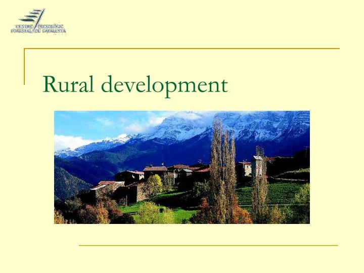
Our data: Description and Samples Land Cover Map of Catalonia (LUMC)
Our data: Description and Samples Land use classification in Catalonia, 1997
There is no description about the coordinate system in which maps are stored (and the NEFIS project has not determined a common reference system). • The vector and raster formats shown in the elements/qualifiers don’t specify by themselves the coordinate system, and that is one of the main objectives of creating metadata. • Example : Projection: UTM, Datum: ED50, Zone:31N Comments on the metadata. Main difficulties
Comments on the metadata. Main difficulties • In some cases, it is not possible to find the data stored in the creators’ database (whose address is well specified). • Sometimes the publisher is the owner of these databases (in Catalonia, most of the data belongs to Environmental Department of the Catalan Government, who is the only responsible of its distribution and regulation terms)
Comments on the metadata. Main difficulties • Quality field (16) is not standardised. • It should be expressed in terms of statistical validation, scale factors (in map case) or sampling and inventory methods.
Comments on the metadata. Main difficulties • It would be necessary to include some descriptors about how data is organized (related with the quality field) • The DCT1 describes the database type: Ex: Interactive resource, dataset (detailed type: statistical). But it does not identify the complexity (operability) of the tool used to show or interact with data (is showing, querying, analysing permitted?) • EFIS database, some inventories, etc. allow the end user to use data advanced analysis, but most of times, data suppliers just show part of the information available.
Comments on the metadata. Main difficulties • It would be necessary to include some descriptors about how data is organized (related with quality field) • In maps, high quality (resolution) data is stored in tiles (small portions of the mapped area) to decrease the size of the files and to ensure the quality of the coordinate system used. • It would be interesting to report how cartographic data is stored as a quality indicator and, on the other hand, to estimate the amount of time and work needed to make the data usable.
Comments on the metadata. Main difficulties • Level of description of databases: • Example: socio-economic data as a dataset or each variable as a dataset? • >Is it possible to use descriptors and variables? • example
Would it be possible to use descriptors and variables? Comments on the metadata. Some proposals