Download
1 / 13
130 likes | 229 Views
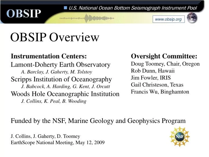
www.obsip.org. OBSIP Overview. Instrumentation Centers: Lamont-Doherty Earth Observatory A. Barclay, J. Gaherty, M. Tolstoy Scripps Institution of Oceanography J. Babcock, A. Harding, G. Kent, J. Orcutt Woods Hole Oceanographic Institution J. Collins, K. Peal, B. Wooding.

E N D
www.obsip.org OBSIP Overview • Instrumentation Centers: • Lamont-Doherty Earth Observatory • A. Barclay, J. Gaherty, M. Tolstoy • Scripps Institution of Oceanography • J. Babcock, A. Harding, G. Kent, J. Orcutt • Woods Hole Oceanographic Institution • J. Collins, K. Peal, B. Wooding Oversight Committee: Doug Toomey, Chair, Oregon Rob Dunn, Hawaii Jim Fowler, IRIS Gail Christeson, Texas Francis Wu, Binghamton Funded by the NSF, Marine Geology and Geophysics Program J. Collins, J. Gaherty, D. Toomey EarthScope National Meeting, May 12, 2009
www.obsip.org Ocean Bottom Seismology in the U.S. • 1999: NSF-OCE funds new OBS designs and establishes U.S. National Ocean Bottom Seismic Instrumentation Pool (OBSIP). • OBSIP is charged by NSF with providing state-of-the-art ocean-bottom seismic instrumentation and at-sea technical assistance for the collection of marine seismic data by the entire U.S. scientific community. • Members are WHOI, SIO, and LDEO. To date (April 2009), 37 separate field program supported, involving 71 research cruises. Subscribed through 2011. • OBSIP is funded via Cooperative Agreements with WHOI, SIO, and LDEO. Members receive modest annual, non-project specific, base suppot to maintain/upgrade their OBS fleet; all other support is tied to funded field programs.
www.obsip.org OBSIP Experiments 2001-2009 As of April 2009, OBSIP (WHOI,SIO, LDEO) has supported 37 separate field program, involving 71 research cruises. Red stars show locations of passive deployments; orange circles show locations of active-source experiments.
Instrumentation www.obsip.org Broad Band instruments • 3-component seismometer spanning 0.01-10 Hz or better • wide-band differential pressure gauge (DPG) and/or hydrophone • High-resolution (24 bit) A/D seismograph • 1+ year recording at 20-40 Hz Short Period instruments • Vertical-component 2-4 Hz seismometer • Hydrophone • 24 bit A/D seismograph • 60+ day recording at 200 Hz or better More info at http://www.obsip.org
www.obsip.org SIO BB LDEO BB WHOI BB
Challenges and Limitations www.obsip.org • Free-fall design • No control on seismometer placement (poor coupling) • Susceptible to bottom currents (tilt noise) and trawling • Poor performance of horizontal components • Long-duration deployments limited to depths greater than 1000 m, even greater in heavy fishing regions • High risk with many potential failure points • Glass flotation – maximum depth ~6000 m • No GPS timing – clock drift rates of 2-5 ms/day • No SOH, no intermediate data recovery
New Developments www.obsip.org • Trawl-resistant mounts • Allow for shallow (shelf) deployments • Sub-seafloor burial system • Improve noise characteristics in both shallow and deep water • Ultra broad-band bottom-pressure sensors • Detect vertical deformation with 1 mm precision from DC to 10 Hz • Three-component accelerometers • On-scale near-fault deployment • ROV recovery • Reduce risk of loss and enhance data recovery • Near-shore buoy telemetry • GPS timing and real-time data recovery
www.obsip.org Performance Gain Achieved by Seismometer Burial Borehole Buried Seafloor Seafloor SP Borehole Buried Seafloor Collins et al., GRL, 2001 Seafloor SP Horizontal components on buried seismometer (red traces) are much less noisy at long periods than the horizontal components of an identical seismometer sitting on the seafloor (blue traces).
www.obsip.org New WHOI Seismometer Burial System
Scheduling www.obsip.org • Fill out instrument-request form (obsip.org) prior to proposal submittal • OBSIP provides cost-estimate to be included as supplemental information in proposal (not in budget) • Scheduled in order of official funding • In conjunction with ship scheduling • Non-NSF projects allowed, but have lower priority in scheduling More info at http://www.obsip.org
Availability as of Jan 2009 www.obsip.org Broad-Band • Fully booked through 2010 (pending ship schedules) • Wiens, Forsyth, Baldwin, Kohler • ~ 44-52 instruments now scheduled through much of 2011 • Baldwin, Kohler, Wiens Short-Period • Dependent on cruise schedule of (usually) the Langseth • In general available for short duration (< 60 day) experiments. More info at http://www.obsip.org
http://www.obsip.org www.obsip.org