Download
1 / 1
10 likes | 138 Views
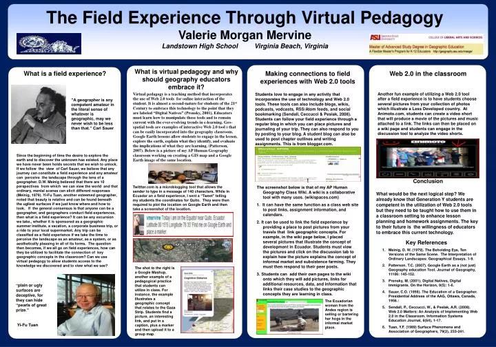
The Field Experience Through Virtual Pedagogy Valerie Morgan Mervine Landstown High School Virginia Beach, Virginia. What is virtual pedagogy and why should geography educators embrace it?. What is a field experience?. Web 2.0 in the classroom

E N D
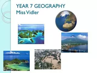
The Field Experience Through Virtual Pedagogy Valerie Morgan Mervine Landstown High School Virginia Beach, Virginia What is virtual pedagogy and why should geography educators embrace it? What is a field experience? Web 2.0 in the classroom Another fun example of utilizing a Web 2.0 tool after a field experience is to have students choose several pictures from your collection of photos which illustrate a Less Developed country. At Animoto.com, students can create a video short that will produce a movie of the pictures and music attached to a link. The links can then be placed on a wiki page and students can engage in the discussion tool to analyze the video shorts. Making connections to field experiences with Web 2.0 tools Students love to engage in any activity that incorporates the use of technology and Web 2.0 tools. These tools can also include blogs, wikis, podcasts, vodcasts, RSS/Atom feeds, and social bookmarking (Sendall, Ceccucci & Peslak, 2008). Students can follow your field experience through a regular blog in which you can place pictures and journaling of your trip. They can also respond to you by posting to your blog. A student blog can also be used to post chapter outlines and writing assignments. This is from blogger.com. Virtual pedagogy is a teaching method that incorporates the use of Web 2.0 tools for online interaction of the student. It is almost a second-nature for students of the 21st Century to embrace this technology to the point that they are labeled “Digital Natives” (Prensky, 2001). Educators must learn how to manipulate these tools and to remain current with the ever-evolving trends in e-learning. Geo-spatial tools are examples of interactive Web 2.0 tool s that can be easily incorporated into the geography classroom. Google Earth lessons allow students to engage in the lesson, explore the earth, explain what they identify, and evaluate the implications of what they are learning. (Patterson, 2007). Below is a picture of my AP Human Geography classroom working on creating a GIS map and a Google Earth image of the same location. ”A geographer is any competent amateur in the literal sense of whatever is geographic, may we never wish to be less than that.” Carl Sauer Since the beginning of time the desire to explore the earth and to discover the unknown has existed. Any place we have never been holds secrets that we wish to unlock. If we follow the view of Carl Sauer, we believe that any journey can constitute a field experience and any amateur can perceive the landscape through the lens of a geographer. D.W. Meinig believed that there are 10 perspectives from which we can view the world and that ordinary, menial scenes can elicit different responses (Meinig, 1979). Yi-Fu Tuan, another esteemed geographer, noted that beauty is relative and can be found beneath the ugliest surfaces if we just know where and how to look. If the general consensus is that anyone can be a geographer, and geographers conduct field experiences, then what is a field experience? It can be any excursion we take., whether it is sponsored as a geographic summer institute, a vacation, a corporate business trip, or a ride to your local supermarket. Any trip can be classified as a field experience if we take the time to perceive the landscape as an amateur, as a system, or as aesthetically pleasing in all of its forms. The question then becomes, if we all go on field experiences, how can they be utilized to facilitate the connection of key geographic concepts in the classroom? Can we use virtual pedagogy to allow students access to the knowledge we discovered and to view what we see? Conclusion What would be the next logical step? We already know that Generation Y students are competent in the utilization of Web 2.0 tools but they need to be taught how to use them in a classroom setting to enhance lesson planning and homework assignments. The key to their future is the willingness of educators to embrace this current technology. I The screenshot below is that of my AP Human Geography Class Wiki. A wiki is a collaborative tool with many uses. (wikispaces.com) 1. It can have the same function as a class web site to post links, assignment information, and calendars. 2. It can be used to link the field experience by providing a place to post pictures from your travels that link geographic concepts. For example, in the wiki page below, I placed several pictures that illustrate the concept of development in Ecuador. Students must view the pictures and click on the discussion tab to explain how the picture explains the concept of informal market and subsistence farming. They must then respond to their peer posts. 3. Students can add their own pages to the wiki onto which they will add pictures, links for additional resources, data, and information that links their case studies to the geographic concepts they are learning in class. Twittter.com is a microblogging tool that allows the sender to type in a message of 140 characters. While in Ecuador on a field experience, I sent a “Tweet” telling my students the coordinates for Quito. They were then required to plot the location on Google Earth and then take a screenshot of the location. Figur Key References • Meinig, D. W. (1979). The Beholding Eye, Ten Versions of the Same Scene. The Interpretation of Ordinary Landscapes: Geographical Essays. 1-9. • Patterson. T.C. (2007). Google Earth as a (not just) Geography education Tool. Journal of Geography, 11106: 145-152. • Prensky, M. (2001). Digital Natives, Digital Immigrants. On the Horizon, 9(5): 1-6. • Sauer, C.O. (1956). The Education of a Geographer. Presidential Address of the AAG, Ottawa, Canada, 1956.: • Sendall, P., Ceccucci, W., & Peslak, A.R. (2008). Web 2.0 Matters: An Analysis of Implementing Web 2.0 in the Classroom. Information Systems Education Journal, 6(64), 1-17. • Tuan, Y.F. (1989) Surface Phenomena and Association of Geographers, 79(2), 233-241. The shot to the right is a Google Mashup, another example of a pedagogical practice that students can utilize in class. For instance, the example illustrates a geographic concept that relates to the Gaza Strip. Students find a picture, an interesting link, and put in a caption, plus a marker and then upload it to a group map. “plain or ugly surfaces are deceptive, for they can hide “pearls of great prize.” Yi-Fu Tuan The Ecuadorian woman from the Andes region is selling or bartering her hogs in the informal market place.