Download
1 / 14
140 likes | 275 Views
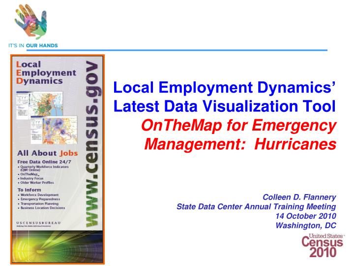
Local Employment Dynamics’ Latest Data Visualization Tool OnTheMap for Emergency Management: Hurricanes Colleen D. Flannery State Data Center Annual Training Meeting 14 October 2010 Washington, DC. A Picture =1,000 Words A Picture = 100,000 Data Cells.

E N D
Local Employment Dynamics’ Latest Data Visualization Tool OnTheMap for Emergency Management: Hurricanes Colleen D. FlanneryState Data Center Annual Training Meeting14 October 2010Washington, DC
A Picture =1,000 Words A Picture = 100,000 Data Cells This storm has is still far out in the Atlantic, but it has already achieved Category 4 strength. Hurricane Ike has a sustained wind speed of 145 miles per hour. There is still a lot of warm deep water in Hurricane Ike's projected path before it approaches the United States. Hurricane paths can be tricky to predict 5-7 days in advance, but right now it looks as it Hurricane Ike's projected path will take it right over the Bahamas. Unlike Haiti or Cuba, the islands of the Bahamas are too small to cause considerable weakening of Hurricane Ike as it continues on its track toward the east coast.
Why Do We Care? • It shows the story • It’s fun • It engages the user
Federal Government Embraces Visualization Presidential Open Government Initiative http://www.whitehouse.gov/open Dept. of Commerce Open Government Plan http://open.commerce.gov/iii-transparency Census Bureau Visualization Plan http://lehd.did.census.gov LED Data Visualization Plan http://lehd.did.census.gov
Uses of OnTheMap for Disasters
Mapping Hanna with Plume Tool • Work Area Profile Map • Shows where workers employed in the selection area work. • Projected path of Hanna based on NWS data. • Plume selection from 20 miles to 150 miles. • Approx. 3.9 million jobs in this 2006 selection.
Atlantic Hurricanes in 2005 28 Hurricanes/Storms 8 reached land in U.S.
OnTheMap for Emergency Management: Hurricanes Launched July 12, 2010 Tested live during Hurricane Bonnie
8/25/010 4:30 pm Hurricane Earl 9/3/2010 4:40 pm 8/27/010 4:30 pm 8/29/2010 4:50 pm 9/4/2010 4:40 pm 9/2/2010 4:40 pm
Reported F-5 Tornadoes in 2008 52 F-5 Tornadoes Wind speed >200 mph Extreme damage
Other Notable Developments in LED • New demographic data • Educational attainment • Race/ethnicity • Additional workers • Federal employees • Data visualization • IBM’s ManyEyes • Google’s Motion charts • OnTheMap version 5: • Scheduled release Dec 2010 • Offers 8 years of data with 2009 • Updated North Carolina data • Data additional state(s) • New visualization tools • OnTheMap version 6: • Initial planning begins next month!
Contact Us • Comments/Suggestions • colleen.d.flannery@census.gov • ces.local.employment.dynamics@census.gov • Local Employment Dynamics Website • http://lehd.did.census.gov • Join the Listservs • Lehd-general@lists.census.gov • Lehd-onthemap@lists.census.gov 14 14