Download
1 / 12
120 likes | 248 Views
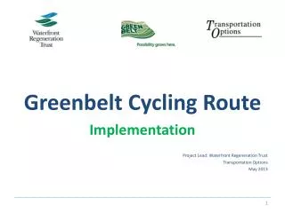
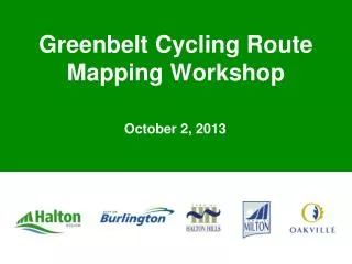
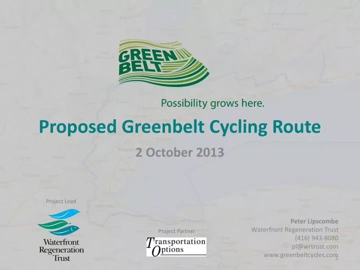
Proposed Greenbelt Cycling Route. 2 October 2013. Project Lead. Peter Lipscombe Waterfront Regeneration Trust (416) 943-8080 pl@wrtrust.com www.greenbeltcycles.com. Project Partner. Distances. Durham: 95km. Norhthumberland : 75km. York: 107km. Peel: 52km. Total: 462 km.

E N D
Proposed Greenbelt Cycling Route 2 October 2013 Project Lead Peter Lipscombe Waterfront Regeneration Trust (416) 943-8080 pl@wrtrust.com www.greenbeltcycles.com Project Partner
Distances Durham: 95km Norhthumberland: 75km York: 107km Peel: 52km Total: 462 km On road: 406 km Off road: 56 km Halton: 52km Hamilton: 80km Niagara: 54km
Communities 7 Regions 22 Lower Tier Municipalities
Mapping Workplan • Mapping workshop • Approval from partners of draft map • December 2013 • Final mapping elements collected by WRT • Winter 2014 – PDF Maps produced • May 2014 – Mobile Workshop
Mapping Consultations • Regions to consult with relevant departments • Public Healths • Transportation Engineers • Planners • Active Transportation • Tourism & economic development • Parks and recreation • Conservation authorities
Mapping Workshop • Identify Features on the Route • Add features to route using stickies • Write on map beside sticker • Use categories to designate which type of feature • Don’t be shy!
Mapping Workshop • Yellow– Alerts • Trail condition • busy inrsection, etc Yellow • Navigation aids transportation nodes • Suggested routes into town with # of km • GO Train and Bus Connections • Connecting Trails Red • Alert cyclists to road conditions requiring extra caution • No/Narrow shoulder • Unpaved gravel surface • Busy road or intersection Blue • Points of interest • Conservation Areas • Cultural Heritage Sites • Provincial Parks • Wineries, Beaches, Lookout Points Facilities • Public Washrooms • Information Centers • Parking lots • Trail access points
Mapping Workshop 9:30 Refreshments and Networking 10:00 Marlaine Koehler Introductory Remarks 10:15 Regional Presentations Erik Acs, Niagara Region Route Sue Morin, Venture Niagara Tourism Daryl Bender, Hamilton Region Nathan Stewart, Heidi Schlegl, Matt Roj; HaltonRegion Margie Chung,Peel Region Jacquelyn Hayward Gulati EtobicokeCreek N/S Connection Shawn Smith York Region Richard HuiLake to Lake N/S Connection Jeff Brooks Durham Region Shirley LuiCentral Counties Tourism ZainaAlhillouNorthumberland County 12:45 Peter Lipscombe Mapping Workshop 1:00 Lunch and Mapping workshop 1:30 Louisa Mursell Tourism Developments & Welcome Cyclists 1:40 Shelley Petrie Sarah Petrevan Greenbelt Identity Program 2:00 Closing Remarks End of presentations; coffee and networking.