Download
1 / 17
180 likes | 299 Views
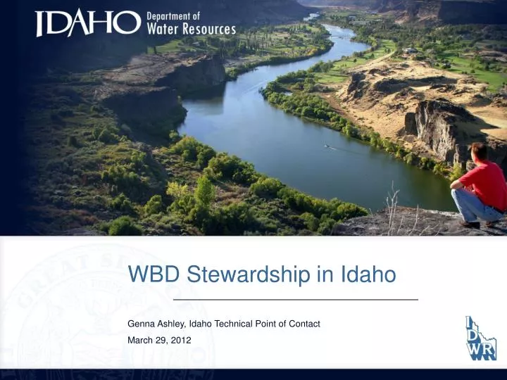
WBD Stewardship in Idaho Genna Ashley, Idaho Technical Point of Contact March 29, 2012. Stewardship Development. Started with the 100k “ Hucs ” In 2001…. Overlayed Ownership Assessed Acreage Local Data Stewards Assigned. Idaho Stewardship Begins….

E N D
WBD Stewardship in Idaho Genna Ashley, Idaho Technical Point of Contact March 29, 2012
Stewardship Development Started with the 100k “Hucs” In 2001….. • Overlayed Ownership • Assessed Acreage • Local Data Stewards • Assigned
Idaho Stewardship Begins… • Initial “TWG” Meeting – January 2002 • Cooperators from around the region • NRCS (spell out) • USBR • IDWR • IDFG • USGS • Idaho Department of Lands • USFS • EPA • Identified potential Local Data Stewards for each HU • Idaho and neighboring states • Sent letter requesting stewardship from land managers • Developed a list of interested sub-stewards • and cooperators • Pilot Project – 3 Subbasins • 17010215 – Priest (Idaho Panhandle) • 17040204 – Teton River (Idaho/Wyoming) • 17050101 – CJ Strike (BLM)
Participation: BLM Boise Corporation Bureau of Reclamation Coeur d’Alene Tribe Forest Service Idaho Department of Fish and Game Idaho Department of Lands IDWR Idaho National Laboratory NOAA Fisheries NRCS NRIS – Montana Potlatch Corporation REO – Oregon and Washington Rocky Mountain Research Station Tribal University of Wyoming USDA USGS
WBD Applications in Idaho • IDWR • Input for Flood Modeling • HAZUS Model for FEMA – Dam Safety • Reservoir Capacity • Using DEM’s to show Channel Slopes • Input for Water Quantity (such as StreamStats) • Source of Water for Storage Sites • Public Drinking Water Supply Sites • Analyzing TMDL and other Water Quality • Parameters • Refining Water District Boundaries • Updating other IDWR Layers based on Watersheds • Many IDWR Administrative Boundaries based • on Watersheds • BLM • Land Use Planning: • Aquatic Species Conservation Strategy • Watershed Enhancement and Protection • Watershed Analysis and Sub-basin Assessment • NEPA Analysis • EPA Section 7 Consultation – Population Analyses • Minerals Operations and Determining Cumulative • Effects Boundaries • US Forest Service • Road Density • Stream Crossings • Clear-cut Acres • Watershed Vulnerability • Geomorphic Integrity • Used for Project Area • Boundaries/Analysis • Idaho Department of Fish & Game • Spatial Cross-Reference of Fisheries • Data • Ada County Highway District • Watershed Planning, TMDL-related • Studies • Pollutant Load Models/Calculations
WBD Maintenance Phase • Small changes/refinements – USGS in Utah • Idaho sent notifications to in-state partners • Tools Developed • Participated in WBD SSWG Meetings • 14 and 16-Digit Guidelines • Refinements to the Federal Standards • Staff Changes at IDWR • Genna Ashley – POC for both NHD/WBD • NHD/WBD Website • Participated in the US/Canadian Harmonization • Idaho, Washington, Montana, British Columbia
NATIONAL LEVEL GUIDANCE AND SUPPORT HIGH-RES NATIONAL HYDROGRAPHY DATASET WATERSHED BOUNDARY DATASET USGS NHD GEODATABASE NATIONAL TECHNICAL COORDINATORS STATE LEVEL COORDINATION AND SUPPORT NHD STEWARDIDWRLinda Davis, PrincipalGenna Ashley, Technical WBD STEWARDIDWRLinda Davis, PrincipalGenna Ashley, Technical (PRINCIPAL STEWARDS) Idaho Technical Working Group TWG OTHER GROUPS STATE AGENCIES LOCALLEVEL COLLABORATION COUNTIES GIS USER GROUPS (STAKEHOLDERS) NATIVE AMERICAN GOVERNMENTS ORGANIZATIONS FEDERAL AGENCIES
Potential edits are collected by a Stakeholder WBD Stewardship Process in Idaho Stakeholder contacts Idaho Data Steward (IDWR)
WBD Data is checked out by • IDWR via the USGS Stewardship • Portal • Edits are done by State Data POC • or Sub-Steward • Cooperators are notified of • review period
All Participants are Notified via… IDWR Contact List Geo-Tech Posted to Website (if applicable)
Final edits are sent to USGS for • incorporation • Participants are notified that • final revisions are available for • download
Idaho NHD/WBD TWG • Linda Davis (Principal Data Steward) • Genna Ashley (Tech Point of Contact) • Representatives from the following agencies: • NRCS • Forest Service • BLM • IDFG • USGS • Tribal • Meetings are held quarterly • Discuss both WBD and NHD issues