Download
1 / 23
230 likes | 338 Views
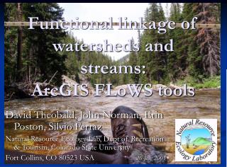
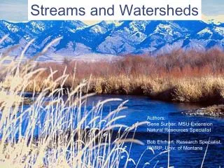
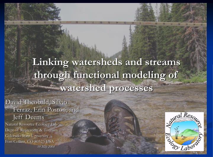
Linking watersheds and streams through functional modeling of watershed processes. David Theobald, Silvio Ferraz, Erin Poston, and Jeff Deems Natural Resource Ecology Lab Dept of Recreation & Tourism Colorado State University Fort Collins, CO 80523 USA 19 May 2004. Watershed - Stream.

E N D
Linking watersheds and streams through functional modeling of watershed processes David Theobald, Silvio Ferraz, Erin Poston, and Jeff Deems Natural Resource Ecology Lab Dept of Recreation & Tourism Colorado State University Fort Collins, CO 80523 USA 19 May 2004
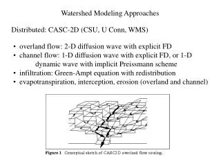
Watershed - Stream Process/Functional Zonal Accumulate Up/down (net.) Watershed HUCs/WBD Reach Contributing Areas (RCAs) Grain (Resolution)
Watershed - Stream Process/Functional Zonal Accumulate Up/down (net.) Watershed HUCs/WBD Reach Contributing Areas (RCAs) Grain (Resolution)
“Watershed”-based analyses • % agricultural, % urban (e.g., ATtILA) • Average road density (Bolstad and Swank) • Dam density (Moyle and Randall 1998) • Road length w/in riparian zone (Arya 1999) • But ~45% of HUCs are not watersheds Southern Rockies Ecosystem Project. 2000. EPA. 1997. An ecological assessment of the US Mid-Atlantic Region: A landscape atlas.
Watershed - Stream Process/Functional Zonal Accumulate Up/down (net.) Watershed HUCs/WBD Reach Contributing Areas (RCAs) Grain (Resolution)
Watershed - Stream Process/Functional Zonal Accumulate Up/down (net.) Watershed HUCs/WBD Reach Contributing Areas (RCAs) Grain (Resolution)
Upper and lower Colorado Basin Flows to downstream HUCs
Watershed - Stream Process/Functional Zonal Accumulate Up/down (net.) Watershed HUCs/WBD Reach Contributing Areas (RCAs) Grain (Resolution)
“true” catchments “adjoint” catchments Reaches (segments) Reach Contributing Areas (RCAs) Automated delineation • Inputs: • stream network (from USGS NHD 1:100K) • topography (USGS NED, 30 m or 90 m) • Process: • “Grow” contributing area away from reach segment until ridgeline • Uses WATERSHED command
RCA example • US ERF1.2 & 1 km DEM: 60,833 RCAs
Reaches are linked to catchments • 1 to 1 relationship • Properties of the watershed can be linked to network for accumulation operation
Watershed - Stream Process/Functional Zonal Accumulate Up/down (net.) Watershed HUCs/WBD Reach Contributing Areas (RCAs) Grain (Resolution)
Types of Distance • As the crow flies • As the seed floats (AB) • As the fish swims (CD) • Upstream length (B up) • Network (dams, fragmentation)
Upstream 66 km Mainstem Upstream 37 km Network 16 km (down) 6 km (up) Downstream 298 km
Watershed - Stream Process/Functional Zonal Accumulate Up/down (net.) Watershed HUCs/WBD Reach Contributing Areas (RCAs) Grain (Resolution)
RCAs are linked together – but spatial configuration within an RCA? 1. Ignore variability 2. Buffer streams 3. Buffer outlet
2 major hydro. processes w/in RCA 1. Overland (hillslope): Distance (A to A’) 2. Instream flow: Distance (A’ to O)
Flow distance: overland + instream • Hydro-conditioned DEM (e.g., EDNA) • FLOWDIRECTION • FLOWLENGTH
Flow distance: overland • Hydro-conditioned DEM (e.g., EDNA) • Burn stream into FLOWDIRECTION • FLOWLENGTH
Flow distance: instream • Hydro-conditioned DEM (e.g., EDNA) • FLOWDIRECTION • FLOWLENGTH from outline – overland FLOWLENGTH
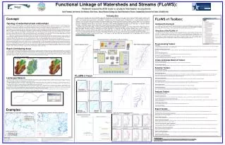
Watershed • By outlet point • By closest contribution • Area • % • Discharge • True watersheds • (HCAs) • By attribute Summary • RCAs networked together + w/in RCA distances • Practical framework for flexible, functional-based applications Plans • Use cost-weighting for w/in RCA distances • FLOWS tools: Fall 2004
CR - 829095 This research is funded by U.S.EPA – Science To Achieve Results (STAR) Program Cooperative Agreement This research is funded by U.S.EPA – Science To Achieve Results (STAR) Program Cooperative Agreement This research is funded by U.S.EPA – Science To Achieve Results (STAR) Program Cooperative Agreement This research is funded by U.S.EPA – Science To Achieve Results (STAR) Program Cooperative Agreement This research is funded by U.S.EPA – Science To Achieve Results (STAR) Program Cooperative Agreement # CR - 829095 # CR - 829095 # CR - 829095 # CR - 829095 # CR - 829095 Thanks! • Comments? Questions? • Funding/Disclaimer: The work reported here was developed under the STAR Research Assistance Agreement CR-829095 awarded by the U.S. Environmental Protection Agency (EPA) to Colorado State University. This presentation has not been formally reviewed by EPA. The views expressed here are solely those of the presenter and STARMAP, the Program (s)he represents. EPA does not endorse any products or commercial services mentioned in this presentation. • STARMAP: www.stat.colostate.edu/~nsu/starmap • RWTools: email davet@nrel.colostate.edu Funding/Disclaimer: The work reported here was developed under the STAR Research Assistance Agreement CR-829095 awarded by the U.S. Environmental Protection Agency (EPA) to Colorado State University. This presentation has not been formally reviewed by EPA. The views expressed here are solely those of the presenter and STARMAP, the Program (s)he represents. EPA does not endorse any products or commercial services mentioned in this presentation. Funding/Disclaimer: The work reported here was developed under the STAR Research Assistance Agreement CR-829095 awarded by the U.S. Environmental Protection Agency (EPA) to Colorado State University. This presentation has not been formally reviewed by EPA. The views expressed here are solely those of the presenter and STARMAP, the Program (s)he represents. EPA does not endorse any products or commercial services mentioned in this presentation. Funding/Disclaimer: The work reported here was developed under the STAR Research Assistance Agreement CR-829095 awarded by the U.S. Environmental Protection Agency (EPA) to Colorado State University. This presentation has not been formally reviewed by EPA. The views expressed here are solely those of the presenter and STARMAP, the Program (s)he represents. EPA does not endorse any products or commercial services mentioned in this presentation. # CR - 829095 # CR - 829095 # CR - 829095