Download
1 / 10
100 likes | 150 Views
Opportunities for increasing conservation effectiveness and research collaborations through a developing Conservation Remote Sensing Working Group. Robert A Rose and lots of others people. Main Goals of Talk. Overview of the current state of RS at a large NGO Assortment of applications

E N D
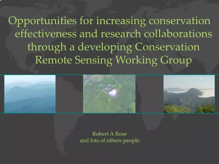
Opportunities for increasing conservation effectiveness and research collaborations through a developing Conservation Remote Sensing Working Group Robert A Rose and lots of others people
Main Goals of Talk • Overview of the current state of RS at a large NGO • Assortment of applications • Successes and challenges ahead • Reflect on the future RS needs of conservation organizations • Near future look • Data and applications • Discuss efforts to revitalize a Conservation Remote Sensing Work Group
RS Work at a Conservation NGO • Long history of great RS research focused on conservation • Has not necessarily trickled down to the practice of conservation • Basic applications • LULCC • Some modeling work • Habitat suitability models • others • No broad capacity for remote sensing • Have done a good job developing GIS capacity (almost 200 people using ArcGIS) • Fallen behind in RS capacity (about 10 using any RS tools) • Hard to dedicate research to RS applications • Lack of time • Lack of funds • Our questions focus on conservation outcomes not RS technologies and methods
Challenges • Data • Dependent on free or low cost data • Landsat TM and ETM • If we do budget for data we have 5, 000 – 10,000 • Lack of availability in remote areas • From ground truth to high resolution imagery • Clouds • Opportunities such as Planet Action have helped • Lack of capacity • We can get decent land cover maps done • Don’t have experts that can bring in advanced techniques - LIDAR • Don’t have time to develop advanced techniques as we tend to react to critical problems quickly • Funds • Hard to raise funds for technology in conservation • Can’t dedicate the resources to RS applications
Workshop • NASA funded Workshop – early 2013 • Bring together 30 people • Government agencies, academic institutions, conservation NGOs • Develop list of 10 Ten Conservation Questions that can be answered using RS technologies • Foster discussions across different institutions • Publish results - map for moving conservation RS forward • Focus of research and funding for next several years • Will directly impact the practice of conservation • Discussions on formal Conservation Remote Sensing Community • We hope this will be a beginning for future efforts
CRS Working Group • Panel discussion at past NASA Biodiversity and Ecological Forecasting Team meeting • Focused on the lack of communication and collaboration opportunities between scientists, academics and NGOs. • Disjuncture between the innovative remote sensing research conducted by NASA and university scientists, and the applied remote sensing work needed by NGOs to solve critical challenges to sustainable environmental management. • Reviving and reinvigorating this multi-organizational working group • greater communication amongst remote sensing scientists and practitioners • create a critical link between the novel and visionary work of remote sensing scientists and on-the-ground conservation projects.
CRS Working Group • Foster better communication among groups, thereby positioning researchers to benefit from NGOs’ wealth of field knowledge and data • Land cover, wildlife, socio-economic data • Provide opportunities for NGOs to work with scientists to secure support for collaborative, conservation-relevant projects • If successful, will significantly address challenges conservation NGOs face
CRSWG Mission Statement • Collaborative effort to develop Mission Statement following workshop • "The Mission of the Conservation Remote Sensing Working Group is to increase conservation effectiveness through enhanced integration of remote sensing technologies in research and applications"
CRSWG Themes • Research and Collaborations • Standards and Best Practices • Capacity Development • Communications
Next Steps • Develop Objectives and Goals around each theme • Find theme leads and interested participants • Lay out next steps to build around themes • Build community • Find more interested participants from 3 participating groups • Communications tool • To allow participants to easily share ideas