Download
1 / 20
200 likes | 300 Views
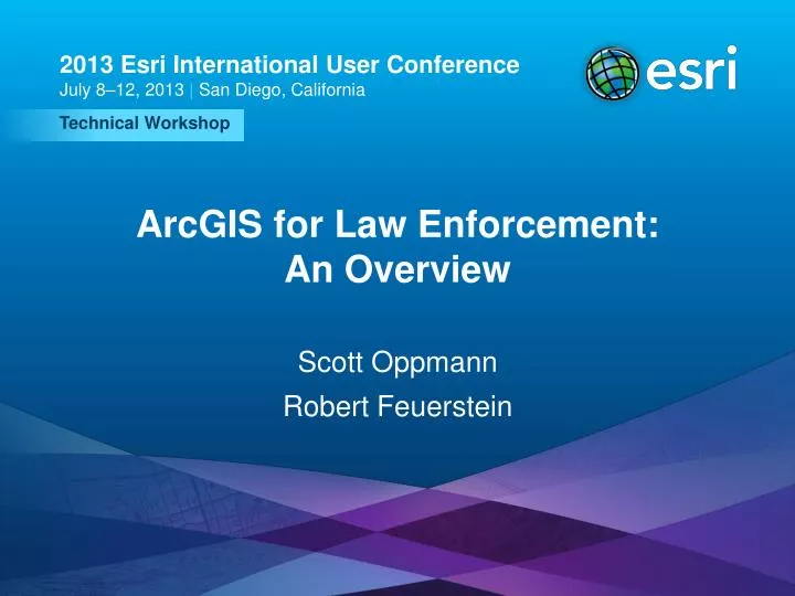
2013 Esri International User Conference July 8–12, 2013 | San Diego, California. Technical Workshop. ArcGIS for Law Enforcement: An Overview. Scott Oppmann Robert Feuerstein. Agenda. Introduction Solution Offering Community What’s Next Your Feedback. ArcGIS.

E N D
2013 Esri International User Conference July 8–12, 2013 | San Diego, California Technical Workshop ArcGIS for Law Enforcement:An Overview Scott Oppmann Robert Feuerstein
Agenda • Introduction • Solution Offering • Community • What’s Next • Your Feedback ArcGIS for Law Enforcement: An Overview
ArcGIS A Complete System for Geographic Information Cloud Online • Visualize • Create • Collaborate • Discover • Manage • Analyze Web Mobile Enterprise • ArcGIS Solutions • Local Government • State Government • Utilities • Defense Desktop ArcGIS for Law Enforcement: An Overview
ArcGIS for Local Government A solution for Esri’s local government customers • A series of useful maps and apps focused on local government work • Organized into domains • Extensible, configurable • Freely available and fully supported • A foundation for Partner solutions • An online community • Best Practices / Implementation Support • A network of Professional Services and Partner offerings • Help users implement, sustain and enhance Mobile Apps Web Apps Basemaps Models/Charts Editing Workflows Local Government Information Model …..Available on-premise and in the cloud ArcGIS for Law Enforcement: An Overview
Our Mission Help increase the value of GIS in local government organizations Make it easier to deploy ArcGIS Deliver applications quickly throughout your organization Stay current with future releases / avoid legacy technology Create a platform of geospatial data that can be leveraged by many Address common constraints in local government Size and skills of staff Budget and time available to implement Empower the community to contribute Users Partners ArcGIS for Law Enforcement: An Overview
ArcGIS for Local Government Changing the way GIS is deployed ArcGIS for Law Enforcement: An Overview
Demonstration ArcGIS for Law Enforcement: An Overview
A System View Deploying ArcGIS for Local Government Accessible from Maps and Apps website • Mobile Apps • Web Apps • Printed Maps Citizens Water Utilities Land Records Public Safety • Editing Maps • Map Services • Mobile Apps • Web Apps • Centralized Information Model • Standard basemaps • Common Feature / Map Services Cataloged in ArcGIS Online ArcGIS for Law Enforcement: An Overview
Configurations Patterns • Influential factors • COTS and configurable solutions strategy • Deployment time • Technical expertise • Three configuration patterns • Complete system adoption • Publish and adopt • Sample code and customize • Where do you start? • With your business requirements • Align them with maps and apps • Review system configuration patterns ArcGIS for Law Enforcement: An Overview
The Community ArcGIS for Law Enforcement: An Overview
Local Government Community A destination for the community to learn and collaborate ArcGIS for Law Enforcement: An Overview
Local Government Community An ongoing dialog where users can learn from peers and share their success stories ArcGIS for Law Enforcement: An Overview
Local Government Community There’s a place where developers can contribute too ArcGIS for Law Enforcement: An Overview
What’s Next ArcGIS for Law Enforcement: An Overview
Continuously Evolving – With 10.2 • New Maps and Apps • Cell Phone Analysis • Pre-Incident Planning • Enhanced Maps and Apps • Citizen Service Request ArcGIS for Law Enforcement: An Overview
Continuously Evolving – Post 10.2 • New Maps and Apps • Data Management • Crime Mapping • Crime Analysis • ArcGIS Online • Expanded model organization • Pre-Incident Planning web application template • Continued Community Engagement • Meetups, videos, more help, etc. • New solution site • Expanded partner and professional services offerings • Additional 10.2 Support • Pre-Incident Planning & Field Interview Card – Offline ArcGIS for Law Enforcement: An Overview
Closing • Deliver a “law enforcement GIS” that enables success • Easier to deploy and sustain • Evolve and grow the collection of apps • Develop a community of users • Don’t hesitate to ask for help ArcGIS for Law Enforcement: An Overview
Other Law Enforcement Sessions Wednesday • 10:15-11:30: ArcGIS for Law Enforcement: An Overview • 4:00-4:30: Using the Pre-Incident Site Surveys Application for School Security Thursday • 10:30-11:00 July 11: ArcGIS Full Motion Video Capabilities for Public Safety Introduction to Law Data Management
Questions Please fill out the session evaluation Offering ID: 1361 Online– www.esri.com/ucsessionsurveys Paper – pick up and put in drop box @ArcGISLocalGov Thank you… http://www.meetup.com/ArcGIS-for-Local-Government/ ArcGIS for Law Enforcement: An Overview