Download
1 / 16
160 likes | 262 Views
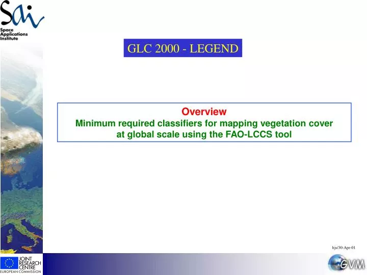
GLC 2000 - LEGEND. Overview Minimum required classifiers for mapping vegetation cover at global scale using the FAO-LCCS tool. hjs/30-Apr-01. Remarks to the ‘minimum set of classifiers’ for the use with the FAO-LCCS tool 1/3

E N D
GLC 2000 - LEGEND Overview Minimum required classifiers for mapping vegetation cover at global scale using the FAO-LCCS tool hjs/30-Apr-01
Remarks to the ‘minimum set of classifiers’ for the use with the FAO-LCCS tool 1/3 Following the recommendations of the GLC 2000 ‘Legend’ meeting in November 2000 at the JRC / Ispra a ‘minimum set of classifiers’ was defined for the use with LCCS. It is desirable to have this minimum set of classifiers further tested by the regional users and to receive their feedback. The FAO-LCCS tool is used for establishing the legend and the class codes by the regional users in a standardized way. LCCS would guarantee compatibility of class codes for building a ‘global legend’ from the regional vegetation cover classes. It is indispensable to check carefully the procedures and conventions in the LCCS manual provided by FAO A vegetation cover consists of one or of a mixture of several life forms which can be described by further classifiers and attributes. The classifiers listed hereafter are considered as minimum and must be present when describing the single classes or life-forms: for example when describing a forest cover starting from the ‘Life-form’=“Trees”, a statement on ‘Cover’, ‘Spatial distribution’ and ‘Leaf type’ has to be made. Minimum is not at all meant as what should be achieved– in fact a more detailed description of vegetation classes is expected from the users by adding LCCS classifiers and attributes. For the class ‘agriculture’ it was decided to stop as ‘minimum’ directly after the dichotomous phase. It might be too ambitious to ask at the ‘minimum’ level for further separation between ‘trees’, ‘shrubs’ and ‘graminoids’, keeping in mind the 1km resolution of the data. However, this separation should be done whenever possible. The single class ‘woody’ offered for describing natural terrestrial and aquatic vegetation should only be used if further specification is not possible. In general it is expected that ‘trees’ or ‘shrub’ classifiers are specified and further described.
Remarks to the ‘minimum set of classifiers’ for the use with the FAO-LCCS tool 2/3 Man-made forests should be interpreted as ‘semi-natural’ vegetation and would therefore not belong to ‘cultivated’ lands. This would include also forest plantations intended for wood production (e.g. Pine, Eucalyptus, Teak, Poplar). It is proposed to leave also rubber under forests as one can find rotation periods up to 40 years and also wood production as one objective. Oil palm plantations, coconut palms or fruit trees would however remain under agriculture / tree. If different vertical layers are present it is the dominant life form which has to be described first - not necessarily the upper layer (please refer to manual). When using the classifier ‘fragmented’ for a tree cover (fragmented forest) the LCCS software expects ‘mixed’ life-forms, i.e. one has to define the life-form for the proportion of the class not covered by trees. For this second component one could stop as ‘minimum’ at the dichotomous phase of LCCS and specify only ‘natural terrestrial vegetation’. In case one has to remain with the minimum set of classifiers for certain life-forms (e.g. shrubs or herbaceous) one will have use the skip option for some classifiers (e.g. spatial distribution or leaf type) in order to reach the next required classifier. For the class ‘herbaceous’ one should specify whether there is a sparse tree or shrub layer. In case one does not have any ancillary information on additional layers the ‘layering’ classifier could be dropped. Using the mix option one could also specify a sparse layer of ‘shrubs and/or trees’. The class ‘lichens and mosses’ should only be used in case the cover is at least 25%. At present the LCCS tool does not foresee a second layer. If a sparse cover of ‘woody vegetation’, ‘trees’ or ‘shrubs’ characterizes the main vegetation layer no further classifiers were requested as a ‘minimum’. In any case there could be nothing else than another sparse layer of a different life-form, otherwise the latter would become the dominant life-form.
based on SPOT VGT added ancillary data based SPOT VGT or ancillary data • Remarks to the ‘minimum set of classifiers’ for the use with the FAO-LCCS tool 3/3 LCCS allows specifying different vertical layers of a vegetation cover. Apart from that the expression ‘mixed’ refers to a mixture of spatially separated life-forms within a mapping unit. This would be coded by the LCCS tool as ‘life-form1 / life-form2’. A ‘thematic’ mix of life-forms or classifiers in one location - also in the sense ‘one “or” the other’life-form -is foreseen but not yet programmed in the LCCS tool. The present proposal is to proceed for the time being with the normal ‘mix’ option and to modify the class code in the exported version of the legend by replacing manually ‘/’ by ‘//’. It is important however to immediately add an annotation in the ‘Users label’ when creating such a class, because LCCS does not allow direct editing in the legend in use, but only in the exported version. • This is important for describing e.g. a vegetation cover as ’closed to open’: a forest cover with a density from 40-100% (‘dense to open’) requires presently a mix of the life-form ‘trees, closed’ and ‘trees, open’. However, in order to indicate that this class should not describe two spatially separated sub-units one has to replace manually ‘/’ by ‘//’ in a final exported version of the legend. • In the case of a ‘thematic’ mix (‘//’) it is for the time being recommended to repeat sub-sequential classifiers for both components. For ‘water bodies’ the classifiers ’standing’ and ‘flowing’ were removed from the minimum set. • The expected main source of information is indicated as the follows:
based on SPOT VGT added ancillary data based SPOT VGT or ancillary data LCCS Entry LCCS Entry Example of on-screen sequence for agricultural lands: crop type = Herbaceous
based on SPOT VGT added ancillary data based SPOT VGT or ancillary data LCCS Entry Example of on-screen sequence for forest cover
Minimum required classifiers for mapping vegetation cover at global scale for GLC2000 using the FAO-LCCS tool
based on SPOT VGT added ancillary data based SPOT VGT or ancillary data LCCS Entry LCCS Entry No further classifiers obligatory as ‘minimum’ (agricultural cropland) Minimum requirements for describing life-forms
based on SPOT VGT added ancillary data based SPOT VGT or ancillary data 1 / 2 LCCS Entry LCCS Entry 1 Minimum requirements for describing life-forms Note: In case of missing ancillary information on additional sparse layers the classifier ‘layering’ could be dropped.
based on SPOT VGT added ancillary data based SPOT VGT or ancillary data 2 / 2 LCCS Entry LCCS Entry 2 Minimum requirements for describing life-forms
based on SPOT VGT added ancillary data based SPOT VGT or ancillary data LCCS Entry No further classifiers obligatory as ‘minimum’ Minimum requirements for describing life-forms
based on SPOT VGT added ancillary data based SPOT VGT or ancillary data LCCS Entry LCCS Entry Minimum requirements for describing life-forms Note: In case of missing ancillary information on additional sparse layers the classifier ‘layering’ could be dropped.
based on SPOT VGT added ancillary data based SPOT VGT or ancillary data LCCS Entry LCCS Entry No further classifiers obligatory as ‘minimum’ (more information could be derived from ancillary layers) Minimum requirements for describing life-forms
based on SPOT VGT added ancillary data based SPOT VGT or ancillary data LCCS Entry LCCS Entry • Surface aspect • Consolidated • Bare rock • Hardpan • Unconsolidated • Bare Soil • Loose and shifting sand Minimum requirements for describing life-forms
based on SPOT VGT added ancillary data based SPOT VGT or ancillary data LCCS Entry LCCS Entry No further classifiers obligatory as ‘minimum’ (more information could be derived from ancillary layers) Minimum requirements for describing life-forms
based on SPOT VGT added ancillary data based SPOT VGT or ancillary data LCCS Entry LCCS Entry • Physical Status • Water • Snow • Ice Minimum requirements for describing life-forms