Download
1 / 17
170 likes | 236 Views
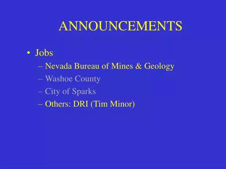
ANNOUNCEMENTS. Jobs Nevada Bureau of Mines & Geology Washoe County City of Sparks Others: DRI (Tim Minor). Data Conversion. Can your data be read by me?. Can my data be read by you?. What software do you use?. Are there any standards for data conversion?. NSDI sets standards!!!. SDTS:.

E N D
ANNOUNCEMENTS • Jobs • Nevada Bureau of Mines & Geology • Washoe County • City of Sparks • Others: DRI (Tim Minor)
Data Conversion Can your data be read by me? Can my data be read by you? What software do you use? Are there any standards for data conversion?
NSDI sets standards!!! SDTS: Spatial Data Transfer System Most Federal agencies produce data in this format. ArcInfo supports this standard:SDTSIMPORT Several processes must be runbefore you can run : SDTSIMPORT SDTSIMPORT winzip Tar SDTS2COV.aml SDTS2ARC.aml
Common File Formats: DXF AutoCAD engineering format USGS DEM Digital Elevation Model USGS DLG Digital Line graph SDTS Standard Data Transfer System Topologically Integrated Geographic Encoding and Referencing system TIGER/LINE ArcInfo EXPORT ArcInfo IMPORT ArcView SHAPE files .shp .shx .dbf
TIGER/LINE data Topologically Integrated Geographic Encoding and Referencing system • The TIGER/Line files are a digital database • of geographic features, such as: • roads, • railroads, • rivers, • lakes, • political boundaries, • census statistical boundaries, etc. TIGER/Line 1999 (Bureau of the Census)
LAB # 1 The purpose of this lab is to develop your skills in file conversion. In GIS there are data stored in many different types of format. In this lab you will be asked to convert 3 different types of data to an Arc/Info format. All the files are located at: ftp://ftp.nbmg.unr.edu/NBMG/gary/GIS_409/ SDS20040223_092710-2.txt.gz (sdts data) TGR32031.zip (TIGER98 data) assign1_g.dem assign1_topo.e00 NV_BND.DXF Counties.zip G zip.exe tar.exe sdts2arc.exe WINZIP Due September ?, 2003 (Thursday 5:30 p.m.)
Other formats: Adobe Illustrator Postscript RTL PIC to DXF