Download
1 / 17
210 likes | 455 Views
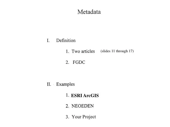
(slides 11 through 17). ESRI ArcGIS. Definition:. From article: “Putting Metadata in Plain English”. Title, geographic area, time period or currency, spatial object- type, attribute data, projection, etc. Authors, include company, compilers, digitizers, whom to ask questions of the data.

E N D
(slides 11 through 17) ESRI ArcGIS
Definition: From article: “Putting Metadata in Plain English” Title, geographic area, time period or currency, spatial object- type, attribute data, projection, etc. Authors, include company, compilers, digitizers, whom to ask questions of the data Objectives/ research that resulted in the data, how to use the data, special aspects (misinterpretation) How data collected & processed, modified, origination, when created, etc Accuracy- positional & attribute, missing data?, etc. Legal restrictions on access, who distributes, download or cd, cost, GIS formats, etc Author of metadata, when metadata modified, standards used to create metadata, etc. From article: “Value of Metadata” Knowing what data has already been created- do not re-invent the “wheel”, Search for data first!!! Is the existing data accurate enough to use in my project application? (ie. TIGER Streets or Planimetric curbs) Stops redundancy of creating the same data, find the data faster & thus a more efficient project is the result
Standards for Metadata: Federal Geographic Data Committee(FGDC) Government wanted a standardized Metadata format determine what should be collected and a standard form Government created a metadata standards committee so bureaucrats met for 2 years coming up with a plan (early 1990’s) result was a metadata form to fill out that was about 15 to 20 pages!!!! metadata for Federal Government agencies must use the FGDC standard FGDC metadata has been adopted as the standard used The following slides shows 3 forms of the metadata: ESRI- ArcGIS (uses the complete FGDC standard) NEOEDEN (uses very abbreviated FGDC standard) Your Project (hardly any FGDC standard)
ESRI ArcGIS Metadata Example – page 1 of about 25- Divided into 3 categories of Information: Description, Spatial, Attributes
ESRI ArcGIS Metadata Example – page 1 of about 25 (Spatial information)
ESRI ArcGIS Metadata Example – page 1 of about 25 (Attribute Information)
ESRI ArcGIS Metadata Example – page 1 of about 25 This shows one of the pop-up menus that you need to fill out in order to enter all the information to meet the FGDC metadata standards
NEODEN: clearing house for environmental and geospatial data geographically covers 14 counties in northeast Ohio cooperative effort between 4 universities: Cleveland State University Kent State University Youngstown State University University of Akron Objectives: Web site to locate data for projects Who has the data Metadata- information about the data Web site is located at nodisnet1.csuohio.edu then select about NEOEDEN menu option on left side of screen. This is an example of one of the data layers, census tracts. (shown on the left of this slide and the next slide) The metadata consists of 2 to 5 pages, depending on the number of attributes in the data layer
Continued example of Census tract metadata in the NEODEN web site
metadata.doc 3/13/07 Metadata (Use this very abbreviated form in your project) For example- metadata for the parcel layer: File name Description Number Fields- with description Source of data Data Of Records (only significant) Time Period Parcel_attrib Parcel polygons 12,345? ppn- permanent parcel number Auditor 2006 joined with Auditor DB LUC- land use, 2005 Etc. RTA_Stops … Etc. Note: You are only required to create metadata for a minimum 10 most important data layers that impact your project. For example, some data layers created through queries that are intermediate steps can be omitted.
Article 2: B A C