Download
1 / 16
160 likes | 174 Views
This presentation highlights the use of concept maps in teaching the S4-5 Geography curriculum, focusing on critical thinking, problem-solving skills, and integrated approaches. Topics covered include plate boundaries, natural hazards, climate, agriculture, urbanization, industry, erosion, and famine.

E N D
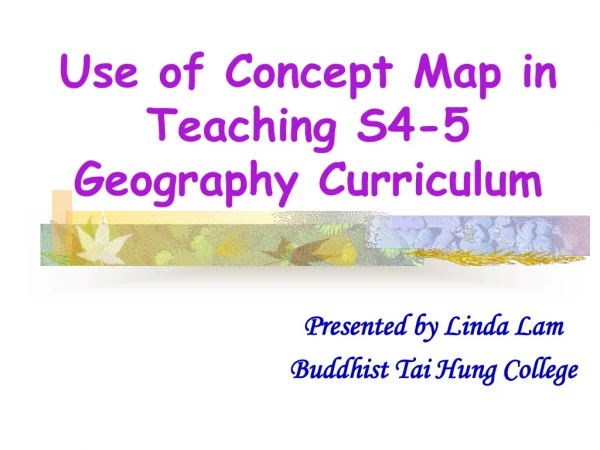
Use of Concept Map in Teaching S4-5 Geography Curriculum Presented by Linda Lam Buddhist Tai Hung College
What are our new focuses? 3-I Approaches
Inductive teaching (think critically and logically through interactive activities, make value clarification and judgment) • Issue-based approach (problem solving skills) • Integrated approach (concepts with tight lessons linkage)
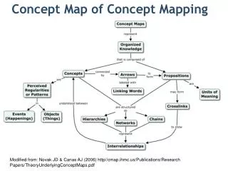
Constructive Plate Boundary Plate Tectonic Destructive Plate Boundary Endogenetic Processes Global Warning Conservative Plate Boundary Conservative Plate Boundary Natural Hazards Land Climate Temperate Maritime Continental Climate (Xinjiang) Volcanic Eruptions, Earthquakes Food and Hunger Temperate Maritime Climate (Shandong) Tsunamis Tropical Humid Climate Agriculture Tropical Arid Climate (Somalia) Urban Encroachment City Sustainable City Nomadic Herding in Sahel Irrigation farming in Southern California Urban Renewal Technology Choice of Power Coal Nuclear Exogenetic Processes And Landform Industry Oil H.E.P. Information Technology Industry Iron and Steel Industry The Trouble of Water Erosion, Transportation and Deposition Macro-concept map: Key: Issues Themes Our focus
Lesson 1 • How does famine affect the people in the world? • Organizing idea: Famine is a severe kind of food shortage that causes the deaths of many people in less developed countries, especially in central and southern Africa. • Activities:Photos interpretation, video interpretation, newspaper clips interpretation
Lesson 2 and 3 • Why are famines frequently happening in less developed countries but not in developed countries? • Organizing idea: The world now grows enough food for everyone, so the famine and hunger problems are more a result of the uneven distribution of food. People’s ability to obtain food in the world is determined by the level of development of their country. • Activities:Simulation game (Millionaire VS. Hunger), locate countries on the “Model of African Map”
Lesson 4 • Why does famine happen in Ethiopia? • Organizing idea:Taking Ethiopia as a case study, causes of famine in this country can be examined and these factors are divided into two categories --- physical and human-induced • Activities:Newspaper interpretation, data interpretation and analysis
Lesson 5 • How do climatic factors affect Ethiopia? • Organizing ideas:The global climate changes with latitude and it explain the role of tropical arid climate catalyzing the problem of famine in Ethiopia • Activities:video and pictures interpretation, simulation game, locate countries on the map, data analysis
Lesson 6 and 7 • Why there is a surplus energy budget in Ethiopia? (Experiment: Which location on earth is warmer?) • Organizing idea:The insolation on the earth’s surface is unevenly distributed that causes a surplus and deficit energy budget in different locations • Activities:Experiment, data analysis
Lesson 8 • How do the factors in the farming system affecting the farming activities? • Organizing idea:Both positive and negative impacts of the physical factors (Solar energy, temperature, rainfall, soil and relief) and human factors (labour, capital, transport, technology, institution, perception) in the farming system will affect the outputs of the farming activities and eventually leads to different types of farming activities being performed in different locations in the world • Activities:Sorting Cards Game (Playing cards!), Identifying photographs of different types of farming
Lesson 9 and 10 • What’s wrong with the farming in Sahel? • Organizing idea:Most people in Sahel is practicing nomadic herding and both the constraints in physical factors and human factors in the farming systems has lead to poor productive and failure of harvest in Sahel and eventually lead to famine. • Activities:locate countries on the “Model of African Map”, Draw a farming system (What’s the farming system in Sahel?)
Lesson 11 • How can we help to solve famine in Sahel, especially in Ethiopia? • Organizing idea:International food aid cannot effectively help ease famine in the long-term, while the self-help programmes that help the poor to increase food production and income as well as birth control can be claimed as a better method for ease famine • Activities:Simulation game (Helping the poor~)
Concept Map in Classroom Activities for Stimulations Experience sharing – F.4 Debate
Thank you! Contact: lindalam_@hotmail.com