Download
1 / 28
350 likes | 517 Views
An overview of Geoprocessing. Geoprocessing. Geoprocessing is a fancy name for Spatial Operations. So what is Geoprocessing ?. Processing or manipulating of geographic/spatial data to create a new dataset. . Flour. Sugar. MIXED. DOUGH. Water. Example of a simple process.

E N D
An overview of Geoprocessing
Geoprocessing Geoprocessing is a fancy name for Spatial Operations So what is Geoprocessing? Processing or manipulating of geographic/spatial data to create a new dataset.
Flour Sugar MIXED DOUGH Water Example of a simple process
A typical Geoprocessing Input Dataset Output Dataset Geoprocessing Projected Data Unprojected Data Project Output Data Tool Input Data • A process contains tool • And a tool has parameters
Process Process Process Geoprocessing/Model building
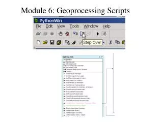
Tools in ArcToolbox • There are literally hundreds of Geoprocessing tools available in ArcGIS! • Most of the time you will use only a few of them
Geoprocessing Menu • Commonly used tools are available from Geoprocessing menu!
Environment Settings Application level settings affect all tools and menus Tool settings affect one execution of one tool
Workspace settings • Current and scratch workspace • Output coordinate systems
Map Overlay • Map overlay brings data from multiple layers into one • There are two basic categories of map overlay functions 1. Functions that combine attribute data & 2. Functions that do not
Overlay operations in ArcGIS Overlay operations combine more than one layers into one. Some of the extraction function can also be considered as overlay function 1. Erase 2. Clip 3. Union 4. Intersect Extraction only & does not combine attribute from layers Combine attributes from layers
Select by location Can’t truncate the roads at the boundary!
Clip is the rescue! Clip is used to cookie cut the original ROAD layer into a smaller layer
What is Clip? Clip is used to cookie cut the desired areas
Erase Only the features outside the Erase feature are kept, everything else are erased
Dissolve Dissolve is used to aggregate features based on specified attributes If you don’t choose an attribute, it will dissolve all into one!
How to simplify the landuse data DISSOLVE
What is Union? Union combines two polygon layers together
What is Intersect? Computes geometric intersection of two layers
INTERSECT 3500’ buffer 2000’ road buffer Example of intersect Areas common between the two layers.
Buffering Lines 250’ Buffer
Multiple Ring Buffer Buffer around Toxic Sites & water well location