Download
1 / 18
180 likes | 334 Views
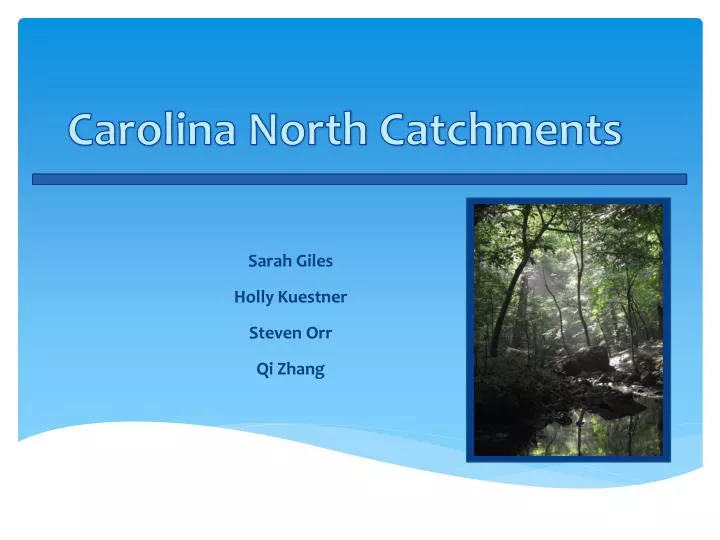
Carolina North Catchments. Sarah Giles Holly Kuestner Steven Orr Qi Zhang. Contents. Impervious Surfaces’ Effects on Flow Accumulation (Holly) Variable Source Area (Holly) Catchment Delineation (Qi) Erosion Potential (Qi) Maximum Likelihood Classification (Steven)

E N D
Carolina North Catchments Sarah Giles Holly Kuestner Steven Orr Qi Zhang
Contents Impervious Surfaces’ Effects on Flow Accumulation (Holly) Variable Source Area (Holly) Catchment Delineation (Qi) Erosion Potential (Qi) Maximum Likelihood Classification (Steven) Assessment of Future Development Scenarios (Sarah)
KUESTNER Identification of Sensitive Areas 1. Isolate stream reaches with high accumulation (to aid in storm water planning) Isolate catchments with high impervious sensitivity (to aid in storm water planning) 4 1 2 3
KUESTNER Identification of Sensitive Areas Isolate catchments with high impervious sensitivity (to aid in storm water planning) Unweighted Weighted
KUESTNER Identification of Sensitive Areas Isolate catchments with high impervious sensitivity (to aid in storm water planning) Catchments with areas accumulating >50 upslope impervious pixels Areas accumulating >50 upslope impervious pixels Weighted Flow Accumulation
KUESTNER Identification of Sensitive Areas Identify areas likely to become saturated (to aid in storm water planning) Saturation Deficit Breach Pits in TAS Mean WI Calculate WI
KUESTNER Identification of Sensitive Areas Identify areas likely to become saturated (to aid in storm water planning)
Zhang Catchment delineation Process in creating sub-catchment polygons Steps: Fig. a) Stream CAROLINA NORTH Fig. b) Polygons
Zhang Soil Erosion Relative Stream Power & Downslope Change Relative Stream Power Fig. c) Relative Stream Power (RSP) Downslope change Fig. d) Downslope change
Zhang Soil Erosion Analysis of Downslope Change Catchment selection Fig. e) Selected catchments
Zhang Soil Erosion Statistical Analysis of Downslope Change Data Source: Steven’s Classification Results
ORR Image Analysis CHARACTERIZING THE FOREST AND DETERMINING CANOPY COVER. RGB:432 CAROLINA NORTH
ORR Image Analysis CLASSIFIED IMAGE LAND TYPE OR CLASS FINDINGS/STATISTICS.
ORR Image Analysis INDIVIDUAL WATERSHED/CATCHMENT FINDINGS/STATISTICS. WHAT THESE NUMBERS MEAN:
ORR Image Analysis RESULTS OF THE CLASSIFICATION OF CAROLINA NORTH. CLASSIFICATION:
GILES Assessment POSSIBLE DEVELOPMENT SCENARIOS Land use classification using ENVI and ArcMap. • L-THIA (Long Term Hydrologic Impact Analysis)
GILES Assessment POSSIBLE DEVELOPMENT SCENARIOS: DATA Scenario 1: • + 18 acres of commercial, -9 acres forest, -9 acres grass Scenario 2: • + 18 acres of commercial, -18 acres grass
GILES Assessment POSSIBLE DEVELOPMENT SCENARIOS: RESULTS So, more of the 311 acres of conserved land should be in the form of forest (scenario 2), preferably mixed in with the development.