Download
1 / 1
20 likes | 342 Views
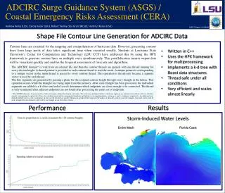
ADCIRC Surge Guidance System (ASGS) / . Coastal Emergency Risks Assessment (CERA). NSF Grant 1010640. Real-time precipitation data from NOAA’s nowCOAST for CERA.

E N D
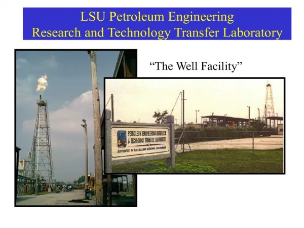
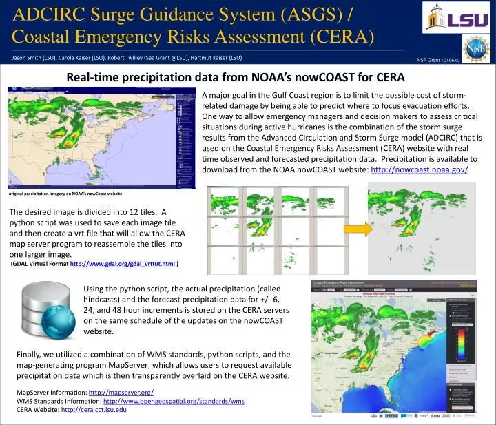
ADCIRC Surge Guidance System (ASGS) / Coastal Emergency Risks Assessment (CERA) NSF Grant 1010640 Real-time precipitation data from NOAA’s nowCOAST for CERA A major goal in the Gulf Coast region is to limit the possible cost of storm-related damage by being able to predict where to focus evacuation efforts. One way to allow emergency managers and decision makers to assess critical situations during active hurricanes is the combination of the storm surge results from the Advanced Circulation and Storm Surge model (ADCIRC) that is used on the Coastal Emergency Risks Assessment (CERA) website with real time observed and forecasted precipitation data. Precipitation is available to download from the NOAA nowCOAST website: http://nowcoast.noaa.gov/ original precipitation imagery on NOAA’s nowCoast website The desired image is divided into 12 tiles. A python script was used to save each image tile and then create a vrt file that will allow the CERA map server program to reassemble the tiles into one larger image. (GDAL Virtual Format http://www.gdal.org/gdal_vrttut.html ) Jason Smith (LSU), Carola Kaiser (LSU), Robert Twilley (Sea Grant @LSU), Hartmut Kaiser (LSU) Using the python script, the actual precipitation (called hindcasts) and the forecast precipitation data for +/- 6, 24, and 48 hour increments is stored on the CERA servers on the same schedule of the updates on the nowCOAST website. Finally, we utilized a combination of WMS standards, python scripts, and the map-generating program MapServer; which allows users to request available precipitation data which is then transparently overlaid on the CERA website. MapServerInformation: http://mapserver.org/ WMS Standards Information: http://www.opengeospatial.org/standards/wms CERA Website: http://cera.cct.lsu.edu