Download
1 / 10
100 likes | 196 Views
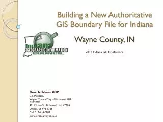
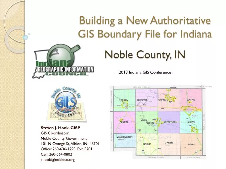
Building a New Authoritative GIS Boundary File for Indiana. Noble County, IN. 2013 Indiana GIS Conference. Steven J. Hook, GISP GIS Coordinator, Noble County Government 101 N Orange St, Albion, IN 46701 Office: 260-636-1293, Ext. 5201 Cell: 260-564-0802 shook@nobleco.org.

E N D
Building a New Authoritative GIS Boundary File for Indiana Noble County, IN 2013 Indiana GIS Conference Steven J. Hook, GISP GIS Coordinator, Noble County Government 101 N Orange St, Albion, IN 46701 Office: 260-636-1293, Ext. 5201 Cell: 260-564-0802 shook@nobleco.org
Noble County, IN – 2013 Indiana GIS Conference Slide 2 Determine Legal Description for County Boundary • Indiana Acts 1935, 20th Session, General Assembly – County formed, • effective June 1, 1835, using 4 Super Corners. • June 11, 1859 – Alteration by County Commissioner’s report. Noble Co. lost • to Whitley Co. using 4 additional corners.
Noble County, IN – 2013 Indiana GIS Conference Slide 3 Noble County Super Corners Identified
Noble County, IN – 2013 Indiana GIS Conference Slide 4 Identifying Section Corners along County Boundary • Request placed with the Noble County Surveyor’s Office • 208 section corners revisited in December 2012 • GPS state plane coordinates generated by Surveyor’s Office staff • Contacted neighboring Counties for section corner information – Allen, DeKalb, Elkhart, and Kosciusko • Section Corners fall mostly along Township and Range lines • Standard Corners along South and East County lines • Closing Corners along North and West County lines • Exception for Corners within Washington Twp. • Look for anomalies along boundary – Indian Treaty Boundary • Determine section corner ownership, corresponding grid point name, and attribute values
Noble County, IN – 2013 Indiana GIS Conference Slide 5 Section Corner Accuracy
Noble County, IN – 2013 Indiana GIS Conference Slide 6 Anomaly along boundary – Indian Treaty Boundary
Noble County, IN – 2013 Indiana GIS Conference Slide 7 Determine Section Corner Ownership and Corresponding Grid Point Name
Noble County, IN – 2013 Indiana GIS Conference Slide 8 Determine Section Corner’s Corresponding Grid Point Name
Noble County, IN – 2013 Indiana GIS Conference Slide 9 Fill in 36 Section Corner Attribute Values
Noble County, IN – 2013 Indiana GIS Conference Slide 10 Future GIS Work related to Updated County Boundary • Create new County Boundary polygon • Share with the State our updated County Boundary • Update various GIS layers affected by new section corner locations • Continue to work with neighboring counties to update our closing corners between their closing corners.