Download
1 / 14
140 likes | 226 Views
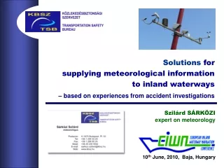
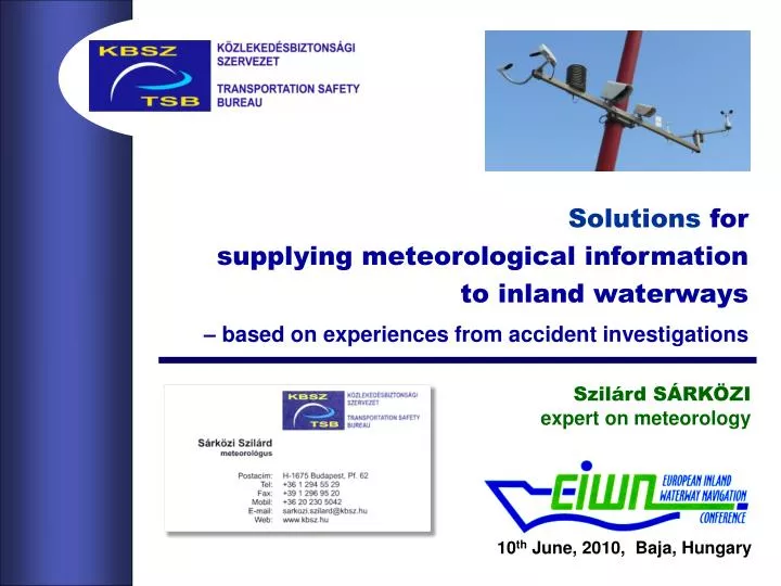
Solutions for supplying meteorological information to inland waterways – based on experiences from accident investigations. Szilárd SÁRKÖZI expert on meteorology. 10 th June, 2010, Baja, Hungary.

E N D
Solutions forsupplying meteorological informationto inland waterways – based on experiences from accident investigations Szilárd SÁRKÖZIexpert on meteorology 10th June, 2010, Baja, Hungary
Whetherthe present-dayradar equipped and highly poweredships are affectedbythe weather on inland waterways– calmer than seas –,andwhether the skippersrequire such information at all? Ifaccident investigations state thatit can be afactor in casualties– no matter in what relationand in how many cases –the answer should be:yes!
Experiences fromaccident investigationson the Danube by the TSB of Hungary TSB No.2006-043-67:25, 21st November, 2006, Budapest, 1643 rkmtowboatcollided to a city bridge-pier,founderedsinking avoided by manoeuvreing onto theriverbankhttp://www.kbsz.hu/images/Vizi_zarojelentesek/2006-043-6.pdf … withFOG PATCHES: TSB No.2007-005-610:20, 1st January, 2007, Vác, 1679 rkmtugboatwith two bargescollided to a ferry, onebarge’sskin rippedsinking avoided as ripped over the water-line TSB No.2007-069-67:45, 9th December, 2007, Dunaföldvár, 1561 rkmpushboat with eight bargescollided to bridge-pier, one barge founderedsinking could be avoided by pumpinghttp://www.kbsz.hu/images/Vizi_zarojelentesek/2007-069-6.pdf Casualties can happen with radar equipped vessels too,while switching over visual navigation to radarand approaching an obstacle at the same time.
(continued)Experiences fromaccident investigationson the Danube by the TSB of Hungary … withWIND-channels: TSB No.2010-001-69:4x, 2nd January, 2010, Dunaföldvár, 1561 rkm3-by-3 formation of bargescollided to bridge-pier,formation scattered outblocking of fairway luckily avoided(in progress) TSB No.2010-026-68:55,17th May, 2010, Tass, 1586 rkmbarge pontoon of a formationsunk(!) in the middle of the int’lfairwayblocking of fairway avoided only by high-water(in progress) Affect unloaded vessels (or) with big lateral surface,and/orwhere violent wind blowsand a reach of the lowland meanders falls parallel with the windit can intensify the current line,results in an effect, not necessarily from the direction of the wind.
(summarising)Experiences fromaccident investigationson the Danube by the TSB of Hungary Σ: 1. Fog patches and wind-channelsseem to be the typical weather factors affecting inland waterways 2. One casualty per year respectively and repeatedly relating to these two weather phenomena X. Consequences can be – long-period blocking of international waterway due to turning sideways or sinking – endangering water supplies of big cities by the river in case of leaking dangerous materials into water, and mostly avoided by chance...
Shallowand occasionally movingFOG PATCHES – having distinct edgeswhile the ambient visibility is still perfect – can be moved by light winds – can be moved by light winds the so called calm, slowly changing elementhas actually asudden and sly feature!
low-level WIND-CHANNELSof relief originand related currents Local amplification of a bigger scale low-level air-streamdue to – small, kilometre-size, some 10-metre-high horsebacks( being more of them by the lowland reaches as wellbetween 1590 and 1450 rkm ) – lateral cuts in a long riverside feature( horseback or forest ) – the river’s surface itself among its bordering features A complex examplein the ”Danube Triangle”:in case of strongnorth-westerly winds so thus both results inan anticlockwise turning forceright under the bridge. 2. northerncomponentsintensify the current lineheading to the right bank 1. westerly componentscrossthe riverside horsebackonly laterally, beyond the bridge,
(The initialproblem) Weatherdatarepresentativetowaterways– fromthe NMS – only three stationsright at the Danube’s bank – with not a satisfactory spatial distribution... – and only basic automatsnot reporting visibility neither the forecastscan focuson rivers’ local weather characteristics...
(Solution 1) Weatherdatarepresentativetowaterways– fromtheroadmeteo’ Todayvisibility is measuredon two Mx bridgesand currently planningto install onto all of them – they are on-line at thecompetent road engineerings,so can relay to any database. Involving other bridgesfor subsequent installationswould result a distribution – in every 40 rkms on average – not having a gap longer than60 – satisfactory resolution ofe.g. foggy areas.
(Solution 2) Wind measurementsrepresentative to waterways – onto high-voltage line spans havinga similarspatialdistributionbytheriveras bridges. Another feature of low-level wind-channelsthat gusts arising on the surface in the morningcan be measured at 100 m height hours beforetherefore, measuring winds at that heighthas a preventive value.
(Solution 3) Weatherdatarepresentativetowaterways– newinstallations ... should be considered too,since locations mentioned abovedo not necessarily followthe distribution of weather phenomena. For surveying these featurespreliminary mobile monitoring measurementsshould be carrying out on vesselssailing the same longer passage regularly. The costs of oneeasily fits in the budget ofe.g. a RIS radio relay transmitter.
(Solution 4) Sharing observationson a common interest base– via RIS services Involving e.g.– ferry-men,– river-police, etc.into such amovementwould broadly enrich datae.g. ontheexistence fog. – skippers would readily sharetheir own observations on hazardous weatherin order to receive other vessels’ ones – dispatchers would happy as well to handlein order to be able answering meteo’ questions coming on air
(continued)Sharing observationson a common interest base– via RIS services For establishing such a system,the following steps should be worked out: – a simplified observation scheme of weather phenomena hazarduos to inland waterways, which can be carried out easily by any skipper – how such data to be broadcasted among skippers via RIS, in order to avoid engaging marine radio channels and to be able to relay automatic real-time measurements as well – a skipper friendly visualisation of such data. Remarks: 1. such an operative system works in the field of aviationwhere weather phenomena hazardous to flightsare obligatory to report in states involved in int’l aviation 2. there are working examples among amateurmeteorologistson a voluntary base as well.
CONCLUSIONS 1. According to accident investigationsweather can be a factor in casualties on inland waterways as well. 2. Since general meteorological networkscannot supply representative data and productsinitiative solutions may come from– other branches of state-owned transportation and industry by bilateral cooperation;– and/or voluntary activity of marine partners themselves on a common interest base. 3. To induce such collaborationswe suggest to establish meteorological task forces,both on regional and European levels at competent organisations– for surveying local potentials– and to set international guidelines and standards on the interchange and presentation of river related weather data. 4. For future improvement investments should be done as wellinto sample systems and surveying measurements,preferably by RIS providers from development funds.