Download
1 / 37
370 likes | 479 Views
Technology Behind Location Awareness CST 594- Mobile Computing Team members Agastheswar Suribhatla Eshwari Mente. Overview. Global Positioning System Location Estimation with 802.11 Cellular Based System Improving Location Accuracy Location Based Applications and Services

E N D
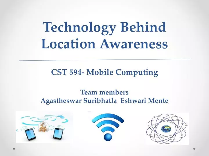
Technology Behind Location AwarenessCST 594- Mobile ComputingTeam membersAgastheswar Suribhatla Eshwari Mente
Overview • Global Positioning System • Location Estimation with 802.11 • Cellular Based System • Improving Location Accuracy • Location Based Applications and Services • Challenges and Opportunities
Global Positioning System • GPS is satellite navigation system which provides location and time information • NAVSTAR GPS is most widely used GPS in Location technology • GPS products and services expected to reach 140 billion euros by 2015 • GPS can scale to unlimited number of users preserving user privacy • Accurate GPS Location requires at least four satellites • GPS cannot penetrate through walls, solid and water
GPS Origins • GPS is synthesis of three location bases technologies • Transit • Precision of few hundred meters • Used Doppler Shift of radio signals by polar orbiting satellites to get location • Timation • Precise time synchronization between points on earth • Used orbital clocks which enables GPS tight synchronization • US Air Force Project 621B • Technique used determining the distance from satellite using Pseudorandom noise (PRN) • PRN can be decoded when multiple satellites transmit at same frequency • PRN codes could be detected even at low power density
GPS Architecture GPS Architecture has three distinct parts • Constellation of earth Orbital satellites • Constellation consists of 31 satellites organized into 6 non geometric circular orbits • Full GPS coverage requires 24 additional satellites act as spare • Ground stations and clocks • Responsible for monitoring satellite positions , clock corrections, satellite orbit updates • GPS receivers • Determine position by tracking at least 4, but commonly up to 12 satellites
GPS Algorithm • Ri (distance between receiver and satellite)= -b • ,, location of satellite i • b – clock bias • GPS accuracy is function of • Error in ranging estimates • Error in satellite geometry
Differential GPS • Differential GPS is enhanced GPS that provides improved location accuracy from 15 m to 10 cm • Differential GPS take advantage of • Satellite clock and coordinate errors • Ionosphere and tropospheric delays • Exhibits temporal and spatial co-relation • DGPS coordinates multiple GPS receivers that track same satellite • DGPS broadcast the difference between the positions indicated by the satellite systems and the known fixed positions
Location based on 802.11 • Estimating Location based on 802.11 was introduced in 2000 by Bal et al • Working of 802.11 • 802.11 radios have drivers that allow devices to scan nearby devices (access points) which return unique IDs and MAC addresses • AS access points have limited range it can know vicinity of access points • Access points send beacon frames to alert clients their presence • Client devices can detect access points in two ways • Passively listening on 802.11 channels for beacon frames • Initiate scan by sending requests which access points reply
Location based on 802.11 • 802.11 takes advantages of two properties observed by clients • Spatial variability • Due to short range and way signals are obstructed and blocked, strength with which access point is observed varies spatially • Temporal Consistency • If given place is good to establish a connection then it would be a good place even in next few minutes, days and months • Based on two properties a map of radio environment by collecting location tagged radio fingerprints which is used perform localization of mobile devices
Signal Strength Modeling and Privacy considerations • The Principle that all systems take advantage is • Radio signals propagate in predictable ways • Device location can be determined by modeling the propagation of signal • Privacy of 802.11 location systems can be excellent as it is implemented with • Passive radio reception • Client side computation
Cellular Based Location • Development of location systems based on mobile phase was driven by US Federal Communication commission • The main purpose was to locate mobile phones to assist phones to deliver emergency services • Later they it was also used for • Location Based services • Advertisement • Recommendation systems • Gaming
Mobile Phone Location based Systems Location based systems can be grouped to four categories • Cell Id based approach • Radio propagation Modeling • Assisted GPS • Surveying techniques based on finger printing
Mobile Phone Location based Systems • Cell Id based approach • Mobile Phone base station has number of directional antennas that define sector of coverage or cell , each of which is assigned cell ID • Location is determined based on the cell ID of the service providing station • It is Implemented at Network side so it works for all mobile devices • Accuracy ranges from 150m to 30 km • Radio Propagation Modeling • Radio Modeling systems for GSM and CDMA are based on Time of flight measurement and uses Time difference of Arrival triangulation method
Mobile Phone Location based Systems • Radio Propagation Modeling • In TDOA position is determined by intersecting hyperbolic lines derived taking difference between time measurements of base stations
Mobile Phone Location based Systems • Assisted GPS • Hybrid technique which combines GPS and Mobile Phone network • Due to the disadvantages of using GPS like at least four satellites, clear view of sky it doesn’t work in indoors • AGPS supplements GPS receiver on phone with secondary reference of GPS receiver with clear view of sky at known location • As it has supplementary data it can work with as few as one satellite • Signal Strength finger printing • It involves mapping in which radio map is constructed by collecting fingerprints at multiple locations • Once mapping is complete the client can lookup for the closet match to current measurement to measurement in mapping phase
Improving localization accuracy • Location estimates of a systems are noisy and error prone. • Smoothing and averaging lessen the impact of these errors on the accuracy. Various ways accuracy improvement techniques: 1. Smoothing - Damp out errors and improves accuracy • Using product of (GPS, WiFi, GSM) • Spatial smoothing technique. (K-mean clustering algorithm ) • Temporal smoothing technique. • Hidden Markov model
Snapping: Another error reducing technique is to constrain coordinate based location estimate using natural boundaries in physical environment. eg GPS based in-car navigation systems. • This technique has been applied to indoor location systems. • Employs infrared and ultrasonic beacons. • Limitation: Does not accommodate unconstrained movement in open spaces.
Map Showing Indoor Location Estimate Fg: 1 Fg: 2 Fig 1: Uses Infrared(small squares) and Ultrasonic (circles) beacons to locate the user. Fig 2: Schematics of multistory building
3. Fusing And Tracking: Uses two or more different types of sensor observation to determine location of the device. Bayes filter perform state estimate on a dynamic system when there is uncertainty due to noise in the evidence being collected. Bayes filters are used to estimate the chance of a device being in a given location having seen the sequence of sensor reading (E1, E2,E3..)
Graphical Representation Accuracy of a location system using particle filter fusion of infrared beacon and ultrasonic ranging observation.
Cont.. • Probabilistic framework like Kalman filters and particle filters offer the ability to fuse readings across sensor technologies and in-corporate motion models which improve accuracy significantly. • When carefully implemented, these probabilistic techniques are suitable for mobile phones and PDA platforms.
Location based application and services 1. Navigation And Way- Finding: • Most of the systems use GSP for location estimation. • Newer devices have the ability to continually download real time traffic data to avoid congestion.
2. Asset tracking • Printed tags and RFID tags Real- time fleet management maps.
3. Emergency response One of the highest value application of location technology is to aid in assisting individual who may be lost, hurt or damage. Assert tags capable of providing real time location information.
4. Geo fencing • Allows to user to define important locations like home, school and receive SMS alerts when the device reaches one of the place. • Newer models use both GPS and cell tower based location. • Location technologies are proposed as a way to help secure 802.11 networks.
5. Location based content and search • Most devices and applications enable users to both retrieve content based on location and produce content tagged with location.
6. Social Networking • Helps people to interact, understand social patterns, and meet new people.
9. Health And Wellness: • Popular Google Map Mashups ,GMap Pedometer let people visualize and share their walking route based on GPS trace. • Not accurate, not based on the location, it used the change in the signal strength of GSM cell towers to predict user’s walking. • User can connect to PC and download the data, maps, graphs and reports.
Challenges 1. Mobile devices deployed are not equipped with a location system. Fortunately, there are free commercial libraries that perform wide area location estimation without addition hardware. 2. Developers facing difficulties in designing location-enhancing interactions and testing them in various of condition. Topiary allows rich location based interaction to be designed, tested and quickly iterated. 3. Most importantly Privacy.