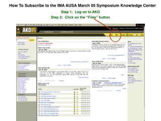
Download
1 / 17
170 likes | 232 Views
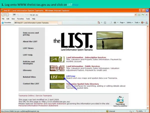
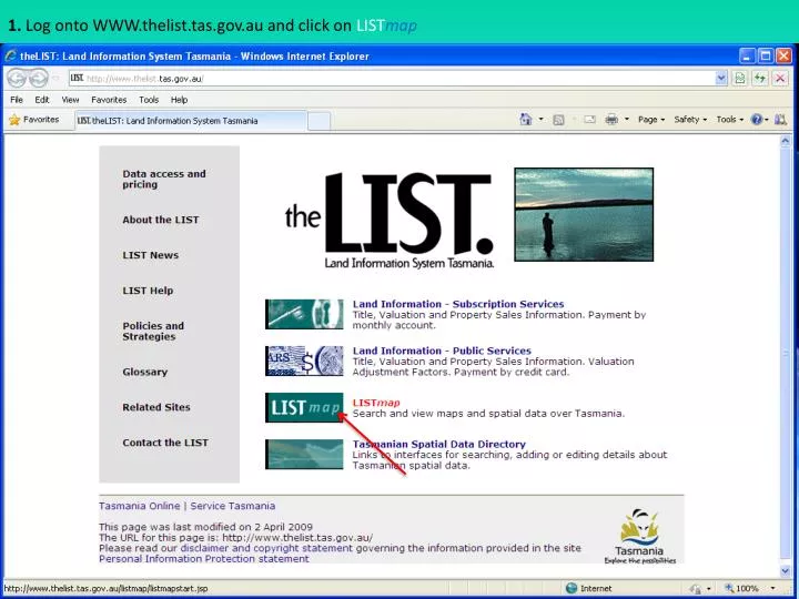
1. Log onto WWW.thelist.tas.gov.au and click on LIST map. 2. Click on Mapping. 3. Click on area of interest eg. Launceston OR enter place name/address details. 4. Use mouse to click and drag over area of interest.

E N D
3. Click on area of interest eg. Launceston OR enter place name/address details
5. Continue to click and drag mouse until desired detail or scale is adequate
6. Click on Manage Layers at bottom right hand corner of map
7. Click on drop down menu at top of left hand list and select “Soils” folder 1 2
8. Click on Acid Sulfate Soil Sites, hold down shift key on keyboard & select all 4 Acid Sulfate Soils map layers
9. Click top black arrow in centre of box to transfer selections to right hand list, then click apply 1 2
10. Acid Sulfate soil survey sites appear as colored dots on map
11. Click on Options box at top right corner of map and select view options. Set Vector to 30% and click apply to make map colors transparent 1 2 3 4
12. To view details of field site - Click Acid Sulfate Soil Sites within Vector layers list, then click the identify tool (i)on left side of map, then click on a field site on map. Scroll down information list to view site details and Click View factsheet to view PDF site sheet (where available). 3 1 2 4
13. A two page fact sheet appears with full site description and a summary of field and laboratory data
14. Click Legend at top right hand side of map to display an explanation of map colours and symbols
15.To view information about a map unit - click on map layer (eg. Coastal Acid Sulfate Soils) , Select the identify tool and click within chosen map unit to display information below map. (scroll down to view all) 2 3 1 4
16. For further assistance with LISTmap click on help and select help page
17. Scroll down LISTmaphelp page for explanation of functions & tools. Helpful tutorials are also available