Download
1 / 29
370 likes | 936 Views
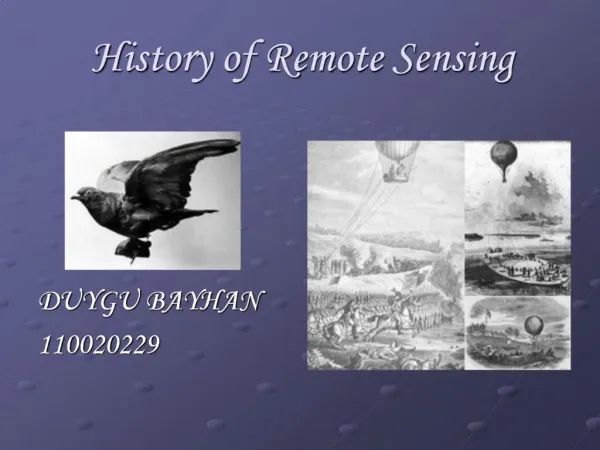
History of Remote Sensing. Mirza Muhammad Waqar Contact: mirza.waqar@ist.edu.pk +92-21-34650765-79 EXT:2257. RG610. Course: Introduction to RS & DIP. Outlines . Remote Sensing Early Aerial Photography Bavarian Pigeon Corps Baloon Observations Kites Observations

E N D
History of Remote Sensing Mirza Muhammad Waqar Contact: mirza.waqar@ist.edu.pk +92-21-34650765-79 EXT:2257 RG610 Course: Introduction to RS & DIP
Outlines • Remote Sensing • Early Aerial Photography • Bavarian Pigeon Corps • Baloon Observations • Kites Observations • Advancement in Photography • Fill Roll • Mounting Camera on Aircraft • Aerial Image Analysis • Satellite Remote Sensing
Remote Sensing • Acquiring information about an object without being in physical contact with that object. • Remote Sensing is the science and art of obtaining information about an object, area or phenomena through the analysis of data acquired by a devise that is not in contact with the object. (Lillisand, 2007)
Remote Sensing • Remote sensing is defined as the science of • Acquiring • Processing • Interpreting • Images and related data, obtained from aircraft and satellite that record the interaction between metter and electromagnetic radiations. (Floyd, 1999)
Why Remote Sensing? • To gain overview of an area • To gather information on large areas in short time • To gather information cost-effectively • To gather information on inaccessible places • To replace conventional sources of information (topo-sheets, census data etc.)
Camera Obscura (conceived by Aristotle 300 BC; Used by Roger Bacon 1300)
Joseph-NicéphoreNiépce, September, 1824 Louis Daguerre, 1830s 1850 Daguerre, 1839 Eadweard Muybridge, 1872
Early aerial photographs • Gaspard Tournachon (aka Nadar) 1859 – Balloon photos for land surveys • These early photos mainly served as novelties and curiosities; • Inability to control altitude and flight path presented obstacles. NARA
San Francisco, 1906 George Lawrence developed a system to use multiple kites to fly a panoramic camera CHICACO HISTORICAL SOCETY NARA LIBRARY OF CONGRESS
Roll Film • George Eastman (1854-1932), transformed photography from an expensive hobby to an inexpensive and immensely popular pastime. • 1884: Eastman patented the first practical roll film. • 1888: He perfected the Kodak camera, designed specifically for roll film. • 1892: He established the Eastman Kodak Company, one of the first firms to mass-produce standardized photography equipment.
Early Airplane Photography (1909) The camera and the airplane were not designed to be used with each other– an uneasy partnership for a long time.
World War IIncubator of aerial photography • First conflict to focus upon mechanized weaponry; • Fixed lines across the western front- conventional reconnaissance blinded; • Artillery became the principal combat arm; • Aviation in its infancy; • Photography still in its youth; • Aviation and photography not integrated.
Aerial Observation Missions 1. Infantry liaison; 2. Artillery rélage; 3. Aerial observation and photography. Aerial observation and photography soon became the primary foci, with increasing significance assigned to the photographic mission.
Aerial observers were trained to report against a detailed checklist; photography was ancillary to the observation mission.
Aerial Camera supplymagazine early innovations in aerial camera design handle advancesunexposed plates exposed plates
TELEVISION INFRARED OBSERVATION SATELLITE, 1960 TIROS, 1960 NIMBUS 5, 1972 TIROS was an experimental program to investigate the feasibility of observing cloud cover and weather patterns from space.
EARTH OBSERVATION SATELLITES, 1972 NASA Landsat 7, 1999 NASA NASA Landsat 4, 1982 Landsat 3, 1978 CNES SPOT 5, 2002
HYPERSPECTRAL REMOTE SENSING, 1985 JPL JPL Instrumentation and processing innovations led to images with extraordinarily fine spatial and spectral resolution JPL