Download
1 / 24
240 likes | 296 Views
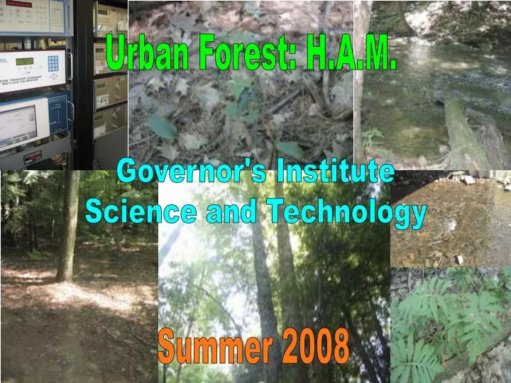
Urban Forest: H.A.M. Governor's Institute Science and Technology. Summer 2008. Who is H.A.M.?. Back Row: Katie, Amanda, Amber, Silene, Heidi (Counselor), Eric, Jonathon Center Row: Ashley, Katelyn, Abby (Counselor), Brittany, Patrick, Ian, Nick, Matt (Behind Nick/Counselor)

E N D
Urban Forest: H.A.M. Governor's Institute Science and Technology Summer 2008
Who is H.A.M.? Back Row: Katie, Amanda, Amber, Silene, Heidi (Counselor), Eric, Jonathon Center Row: Ashley, Katelyn, Abby (Counselor), Brittany, Patrick, Ian, Nick, Matt (Behind Nick/Counselor) Front Row: Riley
Research Site East Woods is a 50 acre area of natural area forest that is owned by the University of Vermont. This is the place where we, and every other group studied and answered the questions that we wanted answers for. We composed studies of the wildlife, soil, vegetation, and stream. Our group also did a study of air pollution with the “Burlington Trailer”.
Soil! The focus of this portion of our presentation is the soils found in the East Woods region. The purpose of our investigation was to compare and contrast soils in different locations around the region and pair soils with the vegetation around them. Our data were gathered by digging several soil pits in separate locations, using a soil auger to take soil plugs, taking the pH of the soils, and later recording all of the different types of vegetation surrounding the pits. All of these data were later compared and contrasted to draw conclusions about different areas in out field site.
Soil Pit #1 The first pit we dug was very close to the stream and just off the trail in East Woods. We chose this spot because it was clear of sticks and branches. The O horizon was very dark and the texture sort of greasy with a pH of 5.5. The A horizon was grey and a bit grittier with a lower pH of about 5.3. As we continued lower, the E horizon was more of a light brown or tan color and you could feel some silt. The deepest layer, the B horizon, was denser and a lighter sand color with lots of silt. We noticed that the O horizon and the A horizon were sort of mixed which indicates that there was some type of disturbance such as a farmer plowing the land.
Soil Pit #2 The second pit that was dug was located in a small gully parallel to the old train track bed. This area had very moist soil and was essentially a manmade wetland. Due to the fact that the water table rose close to the surface in this area, the appearance and makeup of the soil was very different than previous soil samples. The O horizon was relatively thick and greasy with moist decomposing matter, but below that, the soil dramatically changed due to the lack of oxygen in the soil. Enzymes living within soil need oxygen to survive and when oxygen is not present due to water they look for new sources of oxygen. This oxygen is found in mineral oxides such as Iron Oxides. However, when the oxygen is taken, the mineral is leeched of color and turned to grey silty soil. Soil density and oxygen concentrations are not constant however, and in pockets of greater amounts of oxygen, the oxides remain in full color. This inconsistent amount of oxygen in the soil combined with enzyme reduction mottled the soil grey and red, different than previous soils. • The vegetation in this region consisted of : • Red and Sugar maple • White Birch • American Basswood • Few Hemlock • American Beech • White Ash Much of this vegetation requires relatively basic soils excluding hemlock and birch. This requirement reflected the pH of the soil which was a 6.
Soil Pit #3 Our third pit was quite a walk from the first one and a little further from the trail. We actually dug two pits right next to each other due to tree roots that did not allow us to dig very deep. We chose this area because there was different vegetation than the previous places, in that there were less pines and hemlocks, and more deciduous trees. This pit had three horizons and as we dug, we found lots of rocks which did not occur in any other pit we dug. The A horizon was 5.5 inches deep and had a color of 10YR 3-1. The E horizon was only 3/4 of an inch deep with a color of 10YR 4-2. This horizon was very thin because there was less acidity in the soil due to fewer pines and hemlocks which contain high amounts of acid that leech the soil. The soil also seemed to be older than previous sites and this tied into the fact that there were much larger trees and many more large rocks.. The B horizon was also 5.5 inches deep and its color was 10YR 4-6. Having a pH of 6.5, the vegetation included Sugar Maples, Hemlocks, American Beach, White Ash, and White Pines; many of these trees are sensitive to low pH soil. This pH was higher than previous tests as well probably because there were less hemlock and pine.
Soil Pit #4 Our fourth pit was in a wetland. We only saw one distinct layer of soil and the pit started to fill with water before we even finished digging. One thing we saw here that was not present in any other pit was oxidized rhizospheres. These are created in soils that do not have a lot of oxygen. The soil was sort of grey except where there were oxidized rhizospheres where it was an orange brown color. These occur when the roots of plants and trees in the soil deliver oxygen to the soil surrounding them. The added oxygen changes the soil to an orange brown color, which is what we were seeing. The soil was very moist and classified as a gley. There was very thick vegetation everywhere in the wetland including mostly speckled alder, jewel weed and several types of sedges, rushes and grasses.
Red Rocks Park The last day of our field testing we went to a new site west of East Woods to check river and soil samples closer to where the river goes into Lake Champlain. There was much more bedrock in this location and therefore only a small auger sample could be taken. The pH of the soil was very different in this region, an 8.5. With observation of the area we were able understand the reason for the extremely high pH; above the site a truckload of limestone had been poured to make a driveway, and large rocks above the site contained limestone as well. This large amount of limestone, a very basic rock, would be enough to highly influence the pH of the soils around our test site. This is a prime example of how humans can highly impact any given area in nature and epitomizes our quest for urban forest data.
Wildlife! How an urban forest affects the wildlife… Q:Why are there only small animals (chipmunks, squirrels, moles), but not big animals living in East Woods? A:There are only small animals that use this area as their habitat because the ground cover vegetation is limited. Also, the forest is located within the city! Therefore, without the surrounding area as livable habitat, large animals are unable to settle. Lastly, the human population has outsourced and taken over most of the natural habitat.
Wildlife Observations! • Found a little nest under a log that had white fluff. Also found stripped acorns (evidence of squirrel habitat). • Found holes going 12 inches underground, which is a possible indication of mole habitats. • Saw multiple squirrels and chipmunks (we actually chased four of them!) • Found many insects all over the forest and their habitats in decaying trees. INSECT HABITATS • Found earthworms in decaying tree. The earthworm makes good soil and casts the new buds for the tree. • Found Salbug (Potato Bug) crustacean in a decaying tree. • Found ants that were taking care of larva in the “nursery” they had created within the log.
Air Pollution! On Tuesday, H.A.M. traveled to the “Burlington Trailer”. This is a station that monitors air quality aspects in the city of Burlington. Below is a link to the website for all of the air quality information. Also, there is a second link that assists viewers in getting air quality updates sent to their cell phones or email: http://www.anr.state.vt.us/air/index.htm (Main Website) http://www.anr.state.vt.us/air/Monitoring/cfm/RealTimeData.cfm (Update Link)
Haze Cam! H.A.M. was also informed of a “haze cam” that is set in Burlington. this camera takes pictures of the haze status that is happening over Lake Champlain. This is something that visitors to the website can see as well.
Stream! The stream group worked with the river named Potash Brook. Potash Brook flows between Burlington and South Burlington, Vermont. The main stem originates in the Town of Williston, flowing north until it approaches Route 2, and then flows west by Interstate 189, Route 7, and Queen City Road, discharging into Lake Champlain in the northeastern corner of Shelburne Bay of Lake Champlain. It encompasses over 5,300 acres or 7.5 square miles of watershed. The stream group did tests on conductivity, dissolved phosphorus levels, dissolved oxygen, measured depth and velocity along a stream cross-section, and tested the pH levels.
Upstream Test Location Width: 6 m Depth: 11.75 cm Velocity: 0.15 m/s Discharge: .10575 m^3/s pH: 7.8 Dissolved Oxygen: 8.35 mg/L Phosphorus: .21 mg/L Conductivity: 1.06 uS
Middle Test Site Width: 7 m Depth: 19 cm Velocity: .29 m/s Discharge: .3875 m^3/s Dissolved Oxygen: 8.1 mg/L
Downstream Location Width: 6 m Depth: 6 cm Velocity: .191 m/s Discharge: .0687 m^3/s pH: 8.1 Dissolved Oxygen: 9 mg/L Conductivity: 1.177 uS
Red Rocks Test Site (Under Bridge) Width: 2.5 m Depth: 25.9 cm Velocity: .19 m/s Discharge: .1256 m^3/s pH: 7.1 Dissolved Oxygen: 9.2mg/L Conductivity: 1.261 uS Phosphorus: .06 mg/L Temperature: 19 degrees C