Download
1 / 28
290 likes | 427 Views
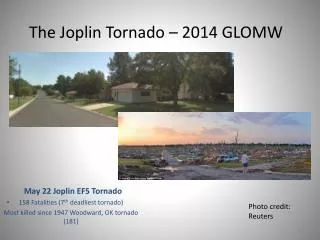
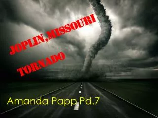
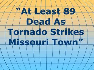
WORST SINGLE TORNADO SINCE 1953 STRIKES JOPLIN, MISSOURI. REGIONAL MEDICAL CENTER TAKES A DIRECT HIT 116 DEATHS; MORE LIKELY SUNDAY, MAY 22, 2011. Walter Hays, Global Alliance for Disaster Reduction, University of North Carolina, USA.

E N D
WORST SINGLE TORNADO SINCE 1953 STRIKES JOPLIN, MISSOURI REGIONAL MEDICAL CENTER TAKES A DIRECT HIT 116 DEATHS; MORE LIKELY SUNDAY, MAY 22, 2011 Walter Hays, Global Alliance for Disaster Reduction, University of North Carolina, USA
This storm was part of a series that battered the Midwest on Sunday night, causing tornado warnings and watches to be posted from Texas to Michigan
MAY 23: At daybreak, rescue crews were looking at piles of 2,000 damaged buildings, splintered houses and crushed cars, house after house reduced to slabs, cars crushed like soda cans, ---
CONTINUED: ---Shaken residents roaming streets in search of missing family members, fires from gas leaks burning across town, and more violent weather looming.
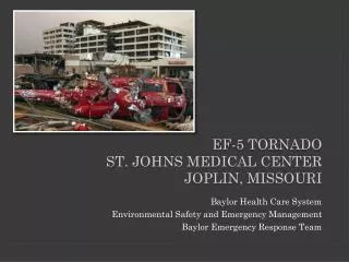
ST JOHNS REGIONAL MEDICAL CEN-TER TAKES DIRECT HIT: JOPLIN, MO
WARNING SYSTEMS • Tornado sirens blared, giving residents10 to 17 minutes of warning; however, rain and hail may have drowned out the sirens.
IMMEDIATE IMPACTS AT ST JOHNS • Windows were blown out on the top floors of the hospital. • Patients had to be evacuated to other hospitals in the area.
EMERGENCY RESPONSE • The Governor of Missouri declared a state of emergency. • Members of the 35th Engineer Brigade, based in Joplin, were called to help in a) search and rescue, b) clearing roads, c) security, and d) communications.
EMERGENCY RESPONSE • Rescuers searching for survivors in the debris had to cope with: a) a strong thunderstorm, b) downed power lines and jagged chunks of debris, c) fires, d)gas fumes, and e) unstable buildings.
TORNADOE SEASON • The peak tornado season is late winter through midsummer,…. • But tornadoes can happen any time of the year when the atmospheric conditions are right.
MISSOURI IS PART OF TORNADO ALLEY • TORNADOES HAVE OCCURRED IN EVERY STATE, BUT THEY OCCUR MOST FREQUENTLY IN “TORNADO ALLEY,” WHICH INCLUDES PARTS OF: TEXAS, OKLAHOMA, ARKANSAS, TENNESSEE, NEBRASKA, KANSAS, MISSOURI, ILLINOIS, AND IOWA.
THE PHYSICS OF TORNADOES • TORNADOES ARE CAUSED BY THE COLLISION OF DESCENDING COLD AIR MASSESS COMING FROM THE NORTH AND ASCENDING WARM AIR MASSES COMING FROM THE SOUTH.
THE PHYSICS OF TORNADOES • THE COLLISION CREATES A FUNNEL OF HIGH-VELOCITY WIND THAT IS VERY DESTRUCTIVE AS IT “TOUCHES DOWN” ONE OR MORE TIMES ALONG A LONG, NARROW (TYPICALLY 10-100 M) PATH.
HAZARDS OF A TORNADO (AKA POTENTIAL DISASTER AGENTS) • WIND: SPEEDS CAN REACH 500 KM/HR (300 MI/HR) • PATH: CAN VARY FROM NARROW TO WIDE; SHORT TO LONG • THUNDER, LIGHTNING, AND HEAVY PRECIPITATION ARE TYPICAL • HAIL CAN BE VERY DAMAGING WITHIN A FEW MINUTES