Download
1 / 15
150 likes | 297 Views
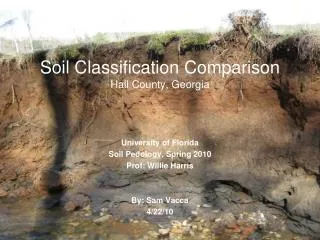
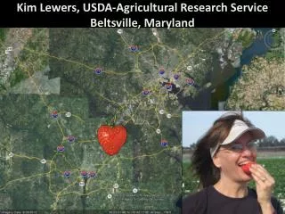
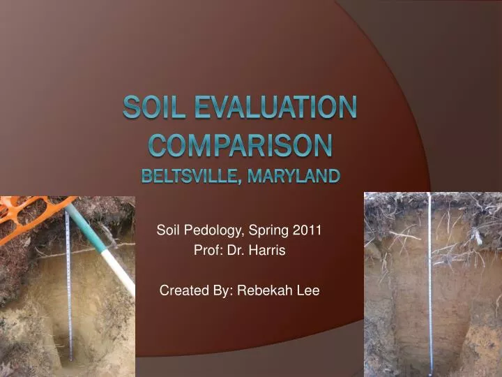
Soil Pedology, Spring 2011 Prof: Dr. Harris Created By: Rebekah Lee. Soil Evaluation Comparison Beltsville, Maryland. Sampling Site Location. Located at the edge of the Atlantic Coastal Plane. Beltsville. Soil Sampling Site. Prince George’s County, Maryland. DC Beltway.

E N D
Soil Pedology, Spring 2011 Prof: Dr. Harris Created By: Rebekah Lee Soil Evaluation ComparisonBeltsville, Maryland
Sampling Site Location • Located at the edge of the Atlantic Coastal Plane Beltsville Soil Sampling Site Prince George’s County, Maryland DC Beltway
Area Climate Totals and Averages Summer average temperature 72.7 °F Winter average temperature 34.1 °F Average temperature 55.1 °F Average seasonal snowfall 20.6 in (51.5 cm) Average annual precipitation: 40.76 in (101.9 cm) * According to the Maryland State Archives http://www.msa.md.gov/msa/mdmanual/01glance/html/weather.html
Soil Pit Locations Lake Soil 1 Soil 2 Cable Cut
Soil Survey EwB—Evesboro-Downer complex 0 to 5 percent slopes Map Unit Setting Elevation: 10 to 360 feet Mean annual precipitation: 40 to 50 inches Mean annual air temperature: 52 to 57 degrees F Frost-free period: 180 to 210 days Map Unit Composition Evesboro and similar soils: 40 percent Downer and similar soils: 30 percent Minor components: 30 percent RcB—Russett-Christiana complex, 2 to 5 percent slopes Map Unit Setting Elevation: 10 to 390 feet Mean annual precipitation: 40 to 50 inches Mean annual air temperature: 52 to 57 degrees F Frost-free period: 175 to 220 days Map Unit Composition Russett and similar soils: 40 percent Christiana and similar soils: 35 percent Minor components: 25 percent Soil 1 Soil 2
Soil 1: Landscape Road Snow
Soil 1: Profile Oi: 0 to 4 cm, Dark Reddish Brown (5YR 3/3), Organic litter including mostly un-decomposed and some partially decomposed A1: 4 to 9 cm, Dark Brown (7.5YR 3/1) Loamy Sand, Moderate Grade, granular and friable. Lots of fine roots present. Clear Wavy Boundary A2: 9 to 27.5 cm, Dark Brown (10YR 4/3) Loamy sand, Moderate structure, granular and friable, Some fine roots present, Clear Wavy boundary E1: 27.5 to 63 cm, Yellowish Brown (10 YR 5/4) loamy sand, Weak, angular blocky structure, very friable, clear wavy boundary
Soil 1: Profile E2 : 63 to 114 cm, Yellow (10 YR 7/6) loamy sand, weak, angular blocky structure, friable, clear wavy boundary E3: 114 to 154.5 cm, Very Pale Brown (10 YR 8/4) sand, Structureless, single grain, loose with clear wavy boundary. Bt : 154.5 to 169 cm, Yellowish Brown (10 YR 5/6) Sandy loam, Moderate angular blocky structure, friable with grey redox concentrations present, clear wavy boundary Redox Depletions
Oi : 0 to 2.5 cm, Dark Reddish Brown (5YR 3/4), Organic litter including mostly un-decomposed and some partially decomposed Organic Matter, Clear Wavy Boundary Soil 2: Profile A1: 2.5 to 6.3 cm, Black (10YR 2/1), Loamy Sand, Weak subangular blocky structure, Very Friable, Lots of Organic matter, medium thick roots, gradual wavy boundary A/E: 6.3 to 24.4 cm, Dark Yellowish Brown (10 YR 4/4), Loamy Sand, Moderate Subangular blocky structure, friable, Some roots, clear wavy boundary E1: 24.4 to 55 cm, Yellowish Brown (10YR 5/8), Loamy Sand, Moderate Subangular blocky structure, friable, few roots present, clear wavy boundary Redox Depletions BE: 55 to 73.1 cm, Light Yellowish Brown (10 YR 6/4), Loamy Sand, Strong platy firm structure, No roots present, some redox depletions present, clear wavy boundary On Next Slide
Soil 2: Profile E & Bt: 73.1 to 135 cm, E part: Yellowish Brown (10YR 5/6) loamy sand and Bt part: yellowish brown (10YR 5/8), loamy sand, weak subangular blocky structure, Very friable with redox depletions (10YR 3/1) Defined lamelle present throughout horizon, clear wavy boundary Redox Depletions Lamellae C: 135 to 177.5 cm, Brownish Yellow (10 YR 6/6), Sandy, Structureless, Single Grained and Loose Consistency, Redox depletions present Redox Depletions
Help I’ve Fallen and Can’t get out! Serves you right for waking me up Special Thanks: Jeremy West – Manager, National Plant Materials Center James Brewer – Maryland Resource Soil Scientist Amanda Moore – Maryland State Soil Scientist Betzy Colon – Fellow Pedology Classmate