Download
1 / 11
110 likes | 209 Views
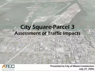
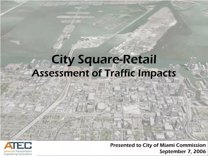
City Square-Retail Assessment of Traffic Impacts. Presented to City of Miami Commission September 7, 2006. Background. The purpose of this study is to assess the traffic impacts of the City Square-Retail development on the surrounding street network.

E N D
City Square-RetailAssessment of Traffic Impacts Presented to City of Miami Commission September 7, 2006
Background • The purpose of this study is to assess the traffic impacts of the City Square-Retail development on the surrounding street network. • The study area defined for this analysis is bound by NE 15th Street on the north, NE 13th Street to the south, Herald Plaza to the east, and Biscayne Blvd. to the west.
Study Area NE 15th Street NE 14th Street Herald Plaza N. Bayshore Drive Biscayne Boulevard NE 13th Street
Methodology • Data Collection • 4-hour turning movement counts obtained from previous studies submitted to the City. • Trip Generation • Institute of Transportation Engineer’s, Trip Generation Report, 7th Edition. • Trip Distribution • Cardinal distribution of each traffic analysis zone (TAZ). • Level of Service • Highway Capacity Manual, 2000 Edition.
6 5 12 11 13 14 10 Biscayne Blvd. 9 8 7 4 1 2 3 NE 2nd Ave.
Area Projects Trip Generation
Results Existing Level of Service
Results Future (2010) Level of Service
Study Area F F F F
Conclusions • The results indicate level of service F at the following intersections: • Biscayne Boulevard at NE 13th Street • Biscayne Boulevard at NE 14th Street • Biscayne Boulevard at NE 15th Street • N. Bayshore Drive at NE 14th Street • Significant impacts to the surrounding street network.