Download
1 / 27
270 likes | 401 Views
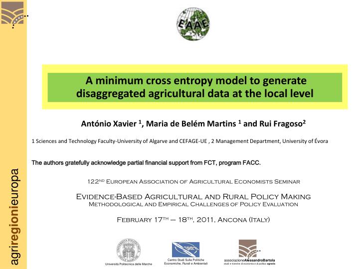
A minimum cross entropy model to generate disaggregated agricultural data at the local level. António Xavier 1 , Maria de Belém Martins 1 and Rui Fragoso 2 1 Sciences and Technology Faculty-University of Algarve and CEFAGE-UE , 2 Management Department, University of Évora

E N D
A minimum cross entropy model to generate disaggregated agricultural data at the local level António Xavier 1, Maria de Belém Martins 1and Rui Fragoso2 1 Sciences and Technology Faculty-University of Algarve and CEFAGE-UE , 2 Management Department, University of Évora The authors gratefully acknowledge partial financial support from FCT, program FACC. 122nd European Association of Agricultural Economists Seminar Evidence-Based Agricultural and Rural Policy Making Methodological and Empirical Challenges of Policy Evaluation February 17th – 18th, 2011, Ancona (Italy) Centro Studi Sulle Politiche Economiche, Rurali e Ambientali associazioneAlessandroBartolastudi e ricerche di economia e di politica agraria Università Politecnica delle Marche
Contents • Introduction • The problem’s description • Previous studies • The methodological approach • The empirical implementation • Results • Validation • Conclusions
Introduction • The lack of data-Portugal • The objective of the presentation • Overcome Lack of disaggregated agricultural data • Necessity of methods for different situations • A method for certain specific situations in Portugal the approach presented here results from a series of experiences carried out by the authors and it’s still under development Relevant for policy evaluation
The problem’s formulation • In Portugal the specific situation may be described as follows: • Existence of aggregated data • Other co-variables: • Land use cartography • Biophysical data • Slope • Soils • Meteorological data • … • Necessity of disaggregated data at the following levels: County Parish Local (pixel,...)
The problem’s formulation LAND USE MAPS CLIMATE DATA MAPS FARMS’DATA-REGIONAL LEVEL SOIL CAPACITY SLOPE DATA DISAGGREGATION ????????? HIPSOMETRY METEO STATIONS DATA Administrative units Local level
Previous studies presented a two stages dynamicdisaggregation process which was able to recover a complete sequence of disaggregated data. Howitt and Reynaud (2003) have used a spatial disaggregation procedure combining a logit model with posterior density estimators to break down production data available at the regional level to a homogeneous spatial mapping unit level (HSMU) Kempen et al. (2005) proposed a spatial disaggregation model for crop production statistics based on a cross-entropy approach. You and Wood (2006)
Previous studies used agricultural data in conjunction with biophysical processes to break down agricultural FADN regional data into 100m × 100m pixel spatial units. Chakir (2009) In Portugal: presented disaggregated data regarding land use for the Montado ecosystem area. Fragoso et al. (2008) proposed a model which estimates incomplete information at disaggregated level through an entropy approach Martins et al. (2010)
The methodological framework • based mostly in the works of Chakir (2009), You and Wood (2006) and You et al. (2007, 2009) • combination of the different exposed ideas, in order to valorize all the existing information • It’s composed by 2 steps: • 1ºstep-Prior information database creation • 2ºStep-The cross entropy approach
1ºstep description • There are several ways of creating this prior and the diversity of information leaded to the exclusion of some predefined methods • combination of the following information: land use cartographical data, soil capacity maps, climate data, and other biophysical data, namely slope and hypsometric data. • Information is reclassified in a Geographical Information System (GIS) • accurate estimation for the biophysical conditions for which the use may be developed • experts’ opinions or the available cartographical land use data-prior estimation
2ºstep description Subject to: Land use Biophysical restrictions
2ºstep description Calculation of the area
Empirical implementation • it was necessary to define concretely the study area: • Region of Algarve • 16 counties and 84 parishes
Empirical implementation Region of Algarve Region of Algarve
Empirical implementation The data used
Empirical implementation • Considered the following farms’ uses: • cereals (CC); • Other temporary crops (OCT); • Fallows (PO); • citrines (CT); • other fresh fruits (OFF); • olive trees (OL); • almond trees (AM); • Other permanent crops (OCP); • permanent pastures (PP) • “other occupations” (OO)
Empirical implementation • Appliedto theyear 1999 • UsedtheAgriculturalCensusdata • Necessityofvalidation
Empirical implementation • The model was applied following two variants: • 1) disaggregation of data of the different administrative units (counties); • 2) disaggregation at a local pixel level (1 km2) • The errors’ limits definition • The lack of data • Some considerations • Other adaptations
Results • 1º Variant of the model
Results • 2ºvariant of the model • Data at pixel level Olive trees Citrines
Validation • Deviation measures
Validation • 1ºvariant of the model
Validation • 1ºvariant of the model • The WPADi • The WPAD • 17,787%. Thecounties‘WPADi
Validation • 2ºVariant • Limited to a sample of counties • It’s under development in some aspects
Conclusions • The model proved for the first time for Portugal a new way of disaggregating data • Some problems need still solution • Some results of the studies being carried out and now provide better results • Some examples • The future • Innovations