Download
1 / 54
580 likes | 794 Views
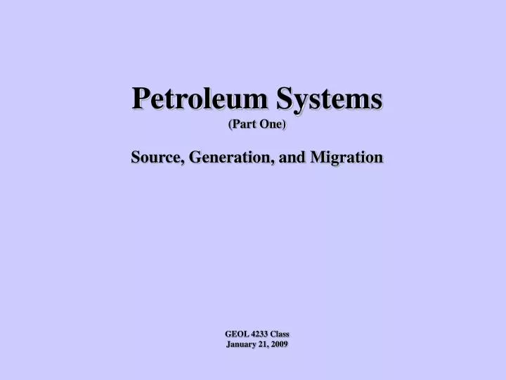
Petroleum Systems (Part One) Source, Generation, and Migration GEOL 4233 Class January 21, 2009. Petroleum Systems. Elements. Processes. Source Rock Migration Route Reservoir Rock Seal Rock Trap. Generation Migration Accumulation Preservation. Petroleum System Summary

E N D
Petroleum Systems (Part One) Source, Generation, and Migration GEOL 4233 Class January 21, 2009
Petroleum Systems Elements Processes Source Rock Migration Route Reservoir Rock Seal Rock Trap Generation Migration Accumulation Preservation
Petroleum System Summary • Source (Material and Rocks) • Generation (Maturation) • Migration • Trap • Reservoir
Source Material Non-Biogenic Origins Biogenic (Kerogen) – Host rock (Shales and Coals) Kerogen Types Type I – Algal (oil prone) sapropelic Type II – Mixed Type III – Woody (gas prone) humic
Siljan ‘Ring’ Inorganic Gas Prospect Drilled to ~22,000’ in 1987 Found abiogenic methane, but no poro-perm
Source Material Non-Biogenic Origins Biogenic (Kerogen Types) Type I – Algal (oil prone)sapropelic Type II – Mixed Type III – Woody (gas prone)humic Host rock (Shales and Coals)
Types of Petroleum Oil and gas are formed by the thermal cracking of organic compounds buried in fine-grained rocks. Algae = Hydrogen rich = Oil-prone Wood = Hydrogen poor = Gas-prone
Kerogen Types Type 1 Type 2 Type 3
From the Paleontological Research Institute <http://www.priweb.org/ed/pgws/history/pennsylvania/pennsylvania.html>
Ganges Deltaic Sediments
Modern Mahakam Delta Plain East Kalimantan, Indonesia (A Rich Source of Kerogen)
Inferred Middle Booch Depositional Environments Arkoma Basinin Oklahoma
Source Material Non-Biogenic Origins Biogenic (Kerogen Types) Type I – Algal (oil prone) sapropelic Type II – Mixed Type III – Woody (gas prone) humic Host Rock (Shales and Coals)
The Origin of Petroleum Organic-rich Source Rock Thermally Matured Organic Matter Oil
Source Rock for Petroleum Organic-Rich Thin Laminae Total Organic Carbon Hydrogen Index 3.39 378 1 Inch LOMPOC Quarry Sample Monterey Formation, CA
Channel-Fill Sandstone Resting on Marine Shale Red Fork (Oklahoma)
Coals and Coaly Shales San Juan Basin (New Mexico)
Source rock kerogen can be correlated to oil/gas found in carrier beds and reservoirs
Basinal Summary Chart T.O.C. Total Organic Carbon
Petroleum System Summary • Source (Material and Rocks) • Generation (Maturation) • Migration • Trap • Reservoir
The Petroleum Kitchen Temperature-Pressure-Time Geothermal Gradient: (thermogenic hydrocarbons) Range: <1 to 11 degrees F per 100’ Typical Sedimentary Basins: 1.0-1.7 degrees F per 100’ Good average 1.2 Oil window of ~ 120-300F (50-150C), or about 5,000-20,000’ In practice, oil below 15,000’ rare Gas – no practical limit to stable depth Cracking of oil to gas controlled by source kerogen and temperature Deep basins mostly gas Practical limits related to maturity of source – not reservoir
Oklahoma Geologic Provinces
Map of Oklahoma Oil and Gas Fields; Distinguished By GOR and Coalbed Methane Production. From Boyd (2002) (GOR Cutoffs: Oil <5,000; Oil and Gas 5,000-20,000; Gas > 20,000)
Schematic Cross-section of the Anadarko Basin Modified from Witt and others (1971).
Geologic Time Scale Modified From Harland (1990) and Hansen (1991).
Regional Stratigraphic Cross-Section (Hung from Top of Booch) Oklahoma Arkoma Basin (Booch) (Present burial depth not necessarily maximum burial depth)
Arkoma Basin Estimated Overburden Removal
Petroleum System Summary • Source (Material and Rocks) • Generation (Maturation) • Migration (Expulsion) • Trap • Reservoir
Source Rock for Petroleum Organic-Rich Thin Laminae 1 Inch LOMPOC Quarry Sample Monterey Formation, CA
Migration Pathways • Hydrocarbon Expulsion • Vertical vs. Horizontal Migration • Residual Saturations
Trap Trap Trap Present-Day Petroleum System GEOGRAPHIC EXTENT OF PETROLEUM SYSTEM Present-Day A A’ STRATIGRAPHIC EXTENT OF PETROLEUM SYSTEM Basement Overburden Seal Petroleum accumulation Reservoir Top of oil window Source Bottom of oil window Underburden Magoon and Dow, 1994
Inferred Middle Booch Depositional Environments Arkoma Basinin Oklahoma
Petroleum System Spill Point 1) Early Generation Spill Point Seal Rock (Mudstone) Reservoir Rock (Sandstone) Migration from ‘Kitchen’ Gas beginning to displace oil 2) Late Generation Displaced oil accumulates Gas displaces all oil
Petroleum System Processes Accumulation Source Rock
Schematic Migrational Pathways From Basin to Shelf
Asphalt Seep Viola Limestone (Oklahoma) The End of the Road
One More Thing……. Basin Assignments • North American • San Juan • East Texas • Gulf Coast • Anadarko • Arkoma • Powder River • Wind River • Green River • Williston • Delaware • Midland • Black Warrior • Fort Worth • Others………..
Facts to Consider Basin Location, Size, Maximum Depth, Age (from basement to outcrop + max subsidence), Stratigraphy Other items; eg - Structure (extensional, compressional) Petroleum System Source Rocks: Name(s), kerogen type(s), TOC, depth to top of oil window, kitchen location Migration Pathways: Carrier bed(s), faults, distance (vertical and horizontal) Traps: Structural, Stratigraphic, Combination (dominant type) Reservoirs: Names, Rock types (both reservoir and seal) Representative Fields (The biggest ones) OOIP, OGIP, RF, Cum Prod Other notable Facts – anything else you want to add (history, technology, companies, etc) Powerpoint presentation: 10-12 slides (or more), approach as management presentation in which object is to highgrade future exploration opportunities for your company. For any answers you cannot find, treat as source of increased risk of entry.
Map of Selected Sedimentary Basins 1-Williston Basin2-Powder River Basin3-Denver Basin4-Salina Basin5-Forest City Basin6-Kennedy Basin7-Big Horn Basin8-Wind River Basin9-Laramide Basin10-Washakie-Red Desert B.11-Green River Basin