Download
1 / 22
220 likes | 369 Views
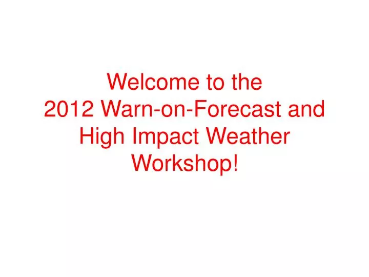
Welcome to the 2012 Warn-on-Forecast and High Impact Weather Workshop!. Agenda for Today. Session 1: Warn-on-Forecast Overview and Status Reports Lunch Session 2: GOES-R Status and Applications Session3: The Future of Severe Weather Warnings Dinner

E N D
Welcome to the2012 Warn-on-Forecast and High Impact Weather Workshop!
Agenda for Today • Session 1: Warn-on-Forecast Overview and Status Reports • Lunch • Session 2: GOES-R Status and Applications • Session3: The Future of Severe Weather Warnings • Dinner • Panel Discussion: Future of Severe and High Impact Weather Warnings
Agenda for Thursday • Session 4: Verification of High-Resolution Forecasts • Session 5: Ensemble Data Assimilation and Predictability • Wrap-up Discussion • End by 1 pm
Special Thanks • Linda McGuckin, NSSL • Joey Rodriguez, OU Conference Services • Session chairs: Kevin Kelleher, Ralph Petersen, David Andra, Steve Weiss and Jason Otkin • Panel Discussion Moderator: Liz Quetone • Panelists: Kim Klockow, Mike Magee, Bob Roberts, Rick Smith
Poster Presenters • We will have a poster introduction session where everyone gets 1 minute to introduce themselves and tell us one important fact about your poster. Will start at 6:00 pm.
Convective-scale Warn-on-Forecast Vision Radar and Initial Forecast at 2100 CST Radar at 2130 CST: Accurate Forecast Probabilistic tornado guidance: Forecast looks on track, storm circulation (hook echo) is tracking along centerline of highest tornadic probabilities An ensemble of storm-scale NWP models predict the path of a potentially tornadic supercell during the next 1 hour. The ensemble is used to create probabilistic tornado guidance. Most Likely Tornado Path Most Likely Tornado Path Developing thunderstorm 30% 30% 50% 50% 70% 70% T=2200 CST T=2200 CST T=2150 T=2150 T=2140 T=2140 T=2130 T=2130 T=2120 CST T=2120 CST Stensrud et al. 2009 (October BAMS)
Probabilistic convective-scale analysis and forecast system • Updated frequently and providing confidence information with focus on 0 to 1 h time frame
Recall that 2010 was our first year! • Many new employees were hired during the first project year (staff and students) • Started monthly Partners meeting • WoF Webpage • Collaborations strengthened • Additional funding generated
Challenges Defined in 2010 • Best assimilation technique to use • Radar data quality control; value of other data • Errors in environmental conditions • Predictability of severe weather • Model error • How to use storm-scale ensemble data for warning operations • How could probabilistic hazard information assist/support decision-making by the public
Radar Data QC Improvements Case Studies: Where are we now? Environmental Sensitivity, Improved Mesoscale Prediction Development of Data Assimilation Methods, Linkages to RR/HRRR How to best use probabilistic information: HWT, SDPG and SSWIM VORTEX2 Studies Model Physics Improvements 2010 2015 2020
Talks this Morning 9:00 – Results of WoF Testing in the Hazardous Weather Testbed (Kristin Kuhlman) 9:30 – Radar Data Quality Control (Kevin Manross) 10:00 – Break 10:30 – Data Assimilation Technique Development (Ming Xue) 11:00 – Warn-on-Forecast Case Studies (Louis Wicker) 11:30 – Model Physics Sensitivities and Challenges (David Dowell)
Other WoF Talks • 5:10 Wednesday – How university and school district officials anticipated and responded to NWS tornado warnings and their thoughts on extended lead time: Spring 2011 case studies (Stephanie Hoekstra, Amy Nicholsand Eve Gruntfest) • Lots of Posters Tonight • 8:30 Thursday- Verification of Warn-on-Forecast (Adam Clark) • 12:00 Thursday – Predictability of Supercell Thunderstorms (Rebecca Belobraydich, David Stensrud)
…is a Unifying Theme High Impact Prediction (HIP)…
WoF-supported Publications Published or in press Dawson, D. T., L. J. Wicker, E. R. Mansell, and R. L. Tanamachi, 2012: Impact from the environmental wind profile on ensemble forecasts of the 4 May 2007 Greensburg tornado and its associated mesoscyclones.. Mon. Wea. Rev., 140, 696-712. doi: DOI: 10.1175/MWR-D-11-00008.1. Gao, J., and D. J. Stensrud, 2012: Assimilation of reflectivity data in a convective-scale, cycled 3DVAR framework with hydrometeor classification. J. Atmos. Sci., in press. doi: http://dx.doi.org/10.1175/JAS-D-11-0162.1 Jones, T., and D. J. Stensrud, 2012: Assimilating AIRS temperature and mixing ratio profiles using an ensemble Kalman filter approach for convective-scale forecasts. Wea. Forecasting, in press. doi: http://dx.doi.org/10.1175/WAF-D-11-00090.1 Jung, Y., M. Xue, and M. Tong, 2012: Ensemble Kalman filter analyses of the 29-30 May 2004 Oklahoma tornadic thunderstorm using one- and two-moment bulk microphysics schemes, with verification against polarimetric data. Mon. Wea. Rev., in press. doi:http://dx.doi.org/10.1175/MWR-D-11-00032.1 Marsh, P. T, J. S. Kain, A. J. Clark, V. Lakshmanan, N. M. Hitchens, and J. Hardy, 2012: A Method for Calibrating Deterministic Forecasts of Rare Events.Wea. Forecasting, in press. doi: http://dx.doi.org/10.1175/WAF-D-11-00074.1 Wheatley, D.M., D. J. Stensrud, D. C. Dowell, and N. Yussouf, 2012: Application of a WRF mesoscale data assimilation system to springtime severe weather events 2007-2009. Mon. Wea. Rev., in press. doi: http://dx.doi.org.10.1175/MWR-D-11-00106.1 Yussouf, N., and D. J. Stensrud, 2012: Comparison of single-parameter and multiparameter ensembles for assimilation of radar observations using the ensemble Kalman filter. Mon. Wea. Rev., 140, 562–586. doi: http://dx.doi.org/10.1175/MWR-D-10-05074.1
In review Ge, G., J. Gao, and M. Xue, 2012: Diagnostic pressure equation as a weak constraint in a storm-scale three dimensional variational radar data assimilation system. J. Atmos. Ocean. Tech., in review. Snook, N., M. Xue, and Y. Jung, 2012: Ensemble probabilistic forecasts of a tornadicmesoscale convective system from ensemble Kalman filter analyses using WSR-88D and CASA radar data. Mon. Wea. Rev., in review. Potvin, C. K., and L.J. Wicker, 2012: Comparisons of kinematic retrievals within a simulated supercell: EnKF radar data assimilation versus dual-Doppler analysis. Mon. Wea. Rev., in review.