Download
1 / 34
350 likes | 498 Views
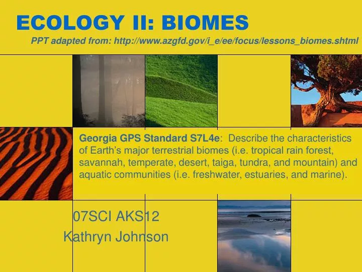
ECOLOGY II: BIOMES. 07SCI AKS12 Kathryn Johnson. PPT adapted from: http://www.azgfd.gov/i_e/ee/focus/lessons_biomes.shtml.

E N D
ECOLOGY II: BIOMES 07SCI AKS12 Kathryn Johnson PPT adapted from: http://www.azgfd.gov/i_e/ee/focus/lessons_biomes.shtml Georgia GPS Standard S7L4e: Describe the characteristics of Earth’s major terrestrial biomes (i.e. tropical rain forest, savannah, temperate, desert, taiga, tundra, and mountain) and aquatic communities (i.e. freshwater, estuaries, and marine).
Activities: • World Biomes Mapping (before PPT) • Biomes World Tour Project • Biome comparison worksheet
The Biosphere Climate & Biomes
The Gaia Hypothesis • Earth is like a living organism where the atmosphere, geosphere, and hydrosphere are cooperating systems that yield a biosphere full of life. • James Lovelock • “Gaia” was the Greek goddess of Earth
Earth’s 4 interconnected systems Biosphere – part of the Earth where all life exists biota = living things Hydrosphere – Earth’s liquid water, ice, and water vapor Atmosphere – the air Geosphere – the Earth’s surface and everything below the surface Biotic Abiotic
What is a biome? A BIOME is the largest geographic biotic unit; a major community of plants and animals with similar life forms and environmental conditions.
How are biomes determined? Biomes are distributed across the Earth based primarily on climate. Therefore, in areas that are far apart, you will sometimes find similar plants and animals. One factor affecting climate is latitude. Typically, the farther you move north or south of the equator, the colder the temperature gets. Another factor affecting climate is elevation. The higher you go in elevation, the colder the temperature gets.
Weather -vs.- Climate: • Weather: the day to day condition of the Earth's atmosphere at a particular time and place. • Climate: Long term or monthly average conditions, caused by: • Sunlight influenced by the latitude • Trapping of heat in the atmosphere • Transport of heat by winds and ocean currents • Shape and elevation of landmasses • Precipitation & Temperature
The Effect of Latitude on Climate: The earth has three main climate zones due to the differences in latitude and angle of heating.
DRAW and LABEL EQUATOR on your MAP It goes through upper South America, bellow the horn of Africa and through Indonesia
DRAW and LABEL TROPIC OF CANCER It goes through Central America, bellow Florida, through Upper Africa Arabian Peninsula, and India
DRAW and LABEL TROPIC OF CAPRICORN It goes through South America, the bottom of Africa, through Madagascar, and Australia
DRAW and LABEL ARCTIC CIRCLE It goes through Alaska, the bottom of Greenland, Norway, and Upper Russia
DRAW and LABEL ANARCTIC CIRCLE It goes bellow South America and Australia and just above Antiactica
LABEL THE …. Polar zones: Located in cold areas where the sun strikes Earth at very low angles (North/South Poles) • Long winter nights • Long summer days
LABEL THE …. Temperate zones: Located between polar and tropical zones. This zone is affected by changing angles of the sun over the course of the year. (ranges from hot to cold, depending on season)
LABEL THE …. Tropical zones: Located near the equator. Receives direct or indirect sunlight year-round. (always warm)
The Greenhouse Effect • The Greenhouse Effect is the situation in which heat is retained by a layer of green house gases. • The gases trap the heat energy of sunlight inside the atmosphere like the glass in a greenhouse or car. • These gases include: carbon dioxide, methane, water vapor, and a few other atmospheric gases
Heat Transfer • Heat is transported throughout the biosphere. Unequal heating is what drives wind and ocean currents. • Wind or air currents: created by warm air moving upward and cool air moving downward—this moves heat though the atmosphere. • Ocean currents: heating/cooling patterns are similar to wind currents, transporting heat energy within the biosphere.
Plants & Animals adapt to Climate (Temperature and Precipitation) • Ability to conserve water in dry environments • Seasonal Migration • Hibernation or Estivation Video
A little about measurement Temperature • USA still uses Fahrenheit (°F) • Water freezes at 32 °F • Water boils at 212 °F • Room Temp is 68 °F • Science and international uses Celsius or Centrigrade (°C) • Water freezes at 0 °C • Water boils at 100 °C • Room Temp is 20 °C
A little about measurement Precipitation USA still uses inches (in or “) 12 inches in a foot 36 inches in a yard 1 in = 2.54 cm 1 meter ≈ 1 yard Science and international uses metric system: centimeters (cm) or millimeters (mm) 10 mm = 1 cm 1000 mm in a meter 100 cm in a meter
Precipitation is read on one side in either mm, cm, or inches and viewed as a bar graph Climatographs Temperature is read on the other side in either °F or °C and viewed as a line graph
Biomes DRAW in your Triangle!
Color Your Map!!!!! Temperate grassland (Prairie or Steppe) Temperate Deciduous forest Tundra Tropical rain forest Desert Mountains (Alpine Tundra) and ice caps Taiga (Boreal, Coniferous, or evergreen forest) Savanna (Tropical dry forest and grassland) Chaparral (Temperate scrubland)