Download
1 / 28
290 likes | 495 Views
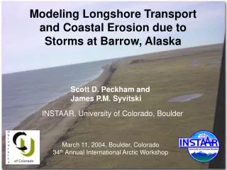
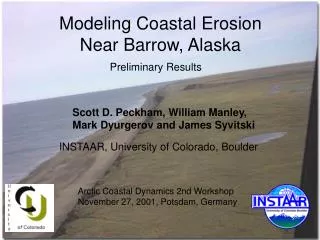
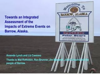
An Analysis of Coastal Erosion Along the Chukchi Coast at Barrow, Alaska. Leanne R. Lestak, William F. Manley, James A. Maslanik, Amanda H. Lynch and Timothy Buckley University of Colorado and Barrow High School. Photo provided by Alaska Division of Emergency Services. Introduction

E N D
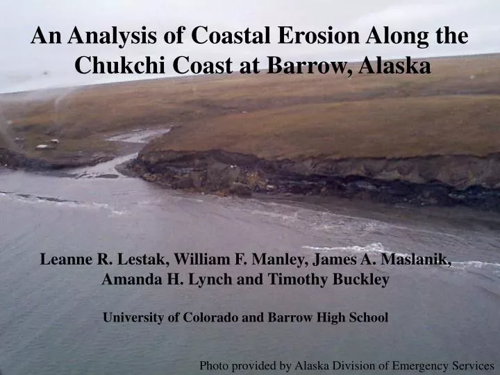
An Analysis of Coastal Erosion Along the Chukchi Coast at Barrow, Alaska Leanne R. Lestak, William F. Manley, James A. Maslanik, Amanda H. Lynch and Timothy Buckley University of Colorado and Barrow High School Photo provided by Alaska Division of Emergency Services
Introduction What we found Methods Some hypotheses Future work A close-up look at the photomaps
The focus of this NSF project • Coastal change between 1948 and 1997 • Community dynamics
September 1986 Storm Photos from The Open Lead Leavitt house
1997 Shoreline in Green 1948 Shoreline in Red 37 m What we found in Barrow
Methods • Orthorectified 1997 aerial photography • Mosaic photos together • Register 1948 photos to 1997 photos • Digitize shorelines and bluff bottoms • Analyze difference in shoreline locations • Horizontal accuracy ca. 3.5 m
Graphic from NASA Orthorectify 1997 photos Photo contains distortions Register photo to Map using GCPs Graphic from Richard Burns, PLS Caltrans Geometronics
Register 1948 photos to 1997 photos • Mosaic Photos Together
Digitize shorelines and bluff bottoms • Analyze difference in shoreline locations • Horizontal accuracy ca. 3.5 m
No erosion south of gravel pit • High erosion at bluffs in Barrow • Aggradation in Browerville • Erosion is not continuous, it’s episodic • Short-term erosion vs. long-term erosion, problems are different
Why is there no change south of the gravel pit?
Geomorphology • Permafrost differences • Curve in coastline • What do you think?
Future work • This data is yours (NSB, High School, BASC) • This is a preliminary study • We will have intervening photo years: • 29 July 1949 • 14 Aug 1955 • Summer 1962 • 14 July 1964 • 15 July 1979 • Summer 2002 (Quickbird image)
QuickBird satellite imagery. • 70 cm (2 ft) pixels for panchromatic imagery (Black and White) • 2.8 m (8 ft) pixels for multi-spectral imagery (Red, Blue, Green, and Near-InfraRed bands) • 4 of 5 scenes successfully acquired Aug. 1 and 2 • Fifth scene acquired before Aug. 31, pending cloud-free conditions Radar Imagery Preliminary “Browse Image” from Aug. 1, Barrow and Chukchi coast. Preliminary close-up of buildings on Gas Well Road (70-cm resolution panchromatic image).
Future work • Study will extend up to Point Barrow • Is this study reasonable? • What else should we look at?
Let’s have a look at the photo maps