Download
1 / 23
230 likes | 236 Views
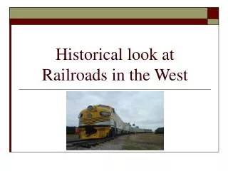
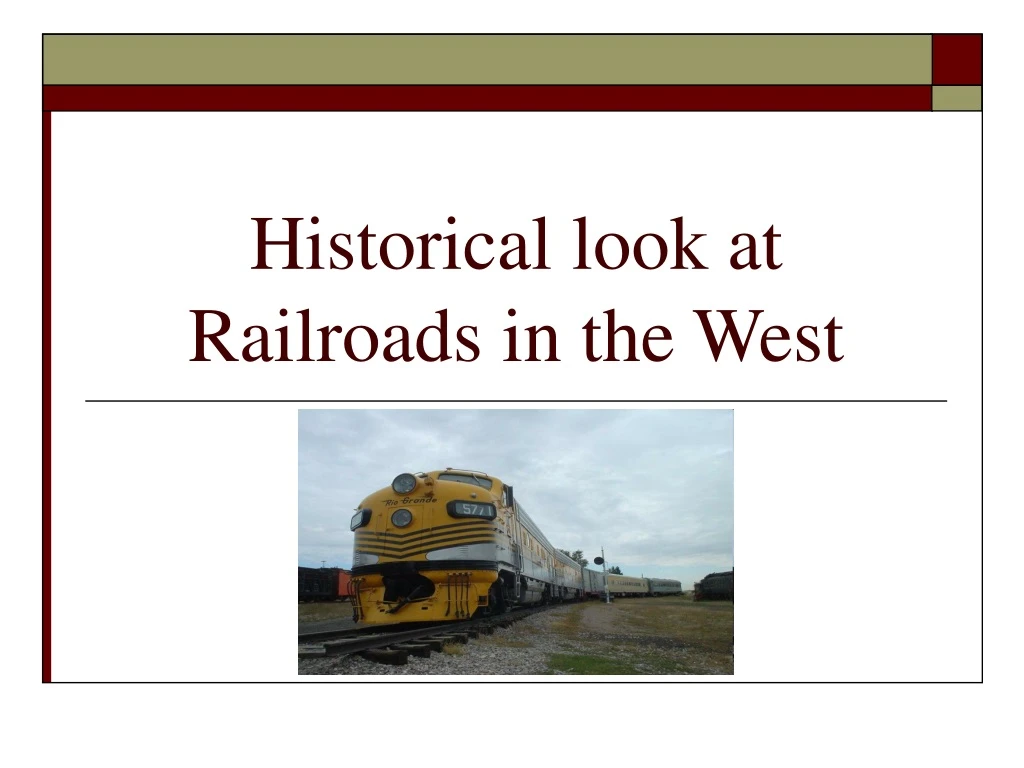
Historical look at Railroads in the West. Introduction. This is a review of the railroads and cities as they developed between 1840-1950

E N D
Introduction • This is a review of the railroads and cities as they developed between 1840-1950 • This project is part of the Fairfax Public County Schools (FPCS) middle school social study activity regarding integrated social studies/GIS lessons on industrialization in the United States
Goals • Develop a dataset and products to help middle school teachers and students in Fairfax County, Virginia learn about the expansion of the railroads in the West • Incorporate into the above dataset the growth of the population as the cities spread across the West
Objectives • Use GIS to map out the railroads as they made their way across the West • Use GIS to map the cities as they developed during the same timeframe • Highlight the historical information associated with the expansion of the railroads and cities across the West
Principal Data Sources • Historical small scale railroad information by year • http://www.cprr.org/Museum/RR_Development.html • The digital railroad files from the Bureau of Transportation Statistics (BTS) • http://www.bts.gov/publications/national_transportation_atlas_database/2008/ • The historical timeline information associated with this project came from different sources • http://www.sdrm.org/history/timeline/ • http://www.kipnotes.com/Railroads.htm • http://en.wikipedia.org/wiki/Timeline_of_United_States_railway_history • http://en.wikipedia.org/wiki/Southern_Pacific
Techniques Used • Railroad information • Extraction of datasets from Bureau of Transportation Statistics (by region) • Re-projected the data to USA Contiguous Albers Equal Area Conic • Modifying the datasets to coincide with the yearly historical information • Digitized shapefiles reflective of historic data for small areas of coverage • Digitized missing sections of railway • Append the regions into single railroad file • US Cities information • Extraction of cities designated by the Census Bureau from the Cities_dtl file (into small subset files) • Create fields to add the specific yearly population data to each city • Append the sets of city files together • Entire Project • Person Geodatabase • Generation of seven map products depicting the growth of railroads and cities
Analysis for 1840 • Prior to 1840 most of the railroad building was being done in the East • Building of railroads started in Louisiana near New Orleans and Baton Rouge • Biggest obstacle for railroad expansion was the Mississippi River • Only 4 cities were reported by Census Bureau
Analysis for 1850 • Between 1840-1850 development was still mostly in the East • The majority of the change on the map was the increase in the number of cities to 38. This growth displays why Railroads were needed
Analysis for 1860 • Between 1830-1860 was enormous railway building as railroads began to replaced canals as the primary mode of transportation. This was the beginning for railway development west of the Mississippi River • 1853: U.S. Congress authorized Transcontinental Railroad Survey • 1855: First railroad bridge across the Mississippi River is complete between Rock Island IL and Davenport IA • 1857: U.S. Congress authorizes overland mail delivery service via Railroads • Railroad building continued on the East side of the map and started near San Francisco CA • Number is cities grew to 87
Analysis for 1870 • 1862: The Pacific Railway Act was signed by President Abraham Lincoln which authorized construction of the first Transcontinental Railroad with the Union Pacific and Central Pacific Railroads • 1869: The Transcontinental Railroad was completed as the golden stake was driven in at Promontory Summit UT on 10 May. This event made is possible to travel to the Pacific Ocean • Development of railways in the Mississippi and Missouri Valleys was notable during this time period • The expansion of cities was up to 137
Analysis for 1880 • 1874: Southern Pacific tracks reach Bakersfield CA • 1876: First train service into Los Angeles from San Francisco • 1877: Southern Pacific crossed the Colorado River at Yuma, AZ • A southern transcontinental route was almost complete as well as building up railroads across Kansas, Nebraska, Texas and California. • Every state and territory had railway transportation, this had powerful influence upon immigration, agriculture and industrial growth throughout the country • The expansion of the cities was up to 218
Analysis for 1890 • 1881: Southern tracks reach El Paso, TX • 1881: Southern Pacific meets the Texas and Pacific at Sierra Blanca completing the second Transcontinental Railroad • 1883: The Northern Pacific drove the last spike at Independence Creek MT • 1883: Southern Pacific completed it’s Transcontinental “Sunset Route” from New Orleans to California • 1885: Southern Pacific is completed • There is much development of railroads on the east side of the map. Starting to work railways in the northern states and several more railroads extended to the Pacific Ocean • The expansion of cities was up to 285
Analysis for 1950 • 1893: Great Northern is completed in Cascade Mountains of Washington state • 1919: Golden spike driven in Carrizo Gorge marking completion of the San Diego and Arizona Railroads • Railroads handle commercial passengers, freight business, U.S mail, and most of the commercial express traffic for the nation • The expansion of cities as reported by the Census Bureau is 427
Future Work • Add the US Territory information as another layer associated with each of the years depicted. Will incorporate the timeframe for when the states joined the United States • Incorporate the city population totals into map to show the growth through time