Download
1 / 23
230 likes | 239 Views
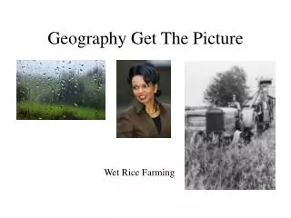
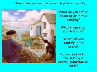
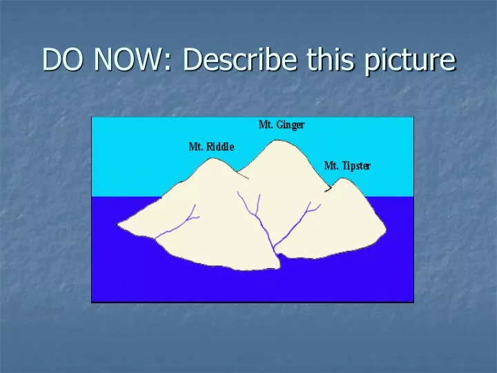
DO NOW: Describe this picture. MAPPING FIELDS. Topographic (contour) maps. Does this help?. SEA LEVEL. RISING WATER. Contour Lines. What is this?. CONTOUR MAP. Medial Review. What is a topographic map? Why are topographic (contour) maps used? How can we label them?

E N D
MAPPING FIELDS Topographic (contour) maps
Medial Review • What is a topographic map? • Why are topographic (contour) maps used? • How can we label them? • What do contour lines represent on topographic maps? • Name a topographic structure that is represented by a contour line that closes within the limits of its map. • Tell me the altitude at sea level.
Review • Can intervals between contour lines on the same map vary? • Name the line that is shaded darker than the other contour lines • When contour lines are close together they indicate that… • What is a topographic map?
END LESSON • Extra slides in case we run over. • I might just have the students go around the class looking at the different topographic maps I have hung up
Contour Mappingpart II • Aim: What are the different features of contour maps?
How Can We Find steepness? CHANGE IN VALUE • GRADIENT = CHANGE IN DISTANCE • **EARTH SCIENCE REFERENCE TABLES**