Download
1 / 29
290 likes | 400 Views
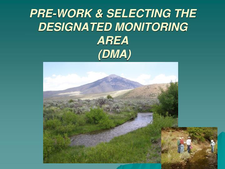
PRE-WORK & SELECTING THE DESIGNATED MONITORING AREA (DMA). Stratify to Riparian Complex. By an ID Team Delineate the Complex Document the Rationale Purpose and objectives Type of Complex (representative, reference, critical) Description Select the most sensitive complex

E N D
Stratify to Riparian Complex • By an ID Team • Delineate the Complex • Document the Rationale • Purpose and objectives • Type of Complex (representative, reference, critical) • Description • Select the most sensitive complex • Once the most sensitive complexes are located, the location of the DMA is randomly selected as described in this chapter. This results in a stratified random sampling design to determine the location of DMAs.
Complex B Complex C Complex B Complex C Grazed unit Complex C Complex B Nongrazed highway unit Complex A • Figure 1. Reach stratification on Telephone Draw near Montpelier, Idaho. Note repeating complexes within the grazed unit (pasture). Complex “A” is likely the same riparian/stream type as “B” but because it is located outside of the grazed unit, it is a different land use and is thus given a different name or identifier. Stratify Complexes
Same Pasture: two valley types & two different complexes Narrow V-shaped valley Broad V-shape or narrow u-shape in colluvial valleys
Imagery – Identify Vegetative Patterns Morgan Creek Complex 3 Blue Creek Complex 2 Complex 1
Designated Monitoring Area - DMA 3 Kinds of DMAs: • Representative DMA: Reach chosen to be representative of a riparian complex – typifies a larger area • Critical DMA: Reach is not representative but important enough that specific data is needed at the site • Reference DMA: Reach chosen to obtain data for use in helping to establish initial desired conditions for a similar area/complex
Selecting Designated Monitoring Areas (DMAs) When the monitoring objective is to assess management effects over time, both a representative DMA and reference DMA might be used. If the monitoring objective is to assess management effects on a value, such as cutthroat trout habitat, a critical DMA might be established in a complex where spawning or some other critical life history requirement is concentrated
Locate the DMA in the Office Select a Random Starting Point: Randomly locate the starting point (lower end) of the DMA within the selected complex The stream segment length should be at least 110 meters or 20 times Greenline-greenline width whichever is greatest (>110 m when stream is > 5.5 meters wide)
Locate DMA in the Field • Permanently mark the lower and upper ends of the sample reach with markers: • Place a permanent marker as a reference point to help relocate the DMA • Document the Location of the Markers with coordinates (e.g. GPS)
DMA Criteria Livestock have access to the DMA The riparian complex most sensitive to management influences DMA has the potential to respond to measurable trends in condition resulting from changes in management Not located on reaches impervious to disturbance if bank/channel disturbance if a monitoring purpose
DMA Criteria DMAs are not located at locations intended for livestock concentration (such as along fences or in water gaps where livestock grazing use is not representative of the riparian area) DMAs are not located in areas compounded by activities that make it difficult to establish cause-and-effect relationships (eg adjacent to a campground)
Thoughts to Ponder on DMA Selection • If the DMA is not carefully selected, all subsequent data collected at the site may be, at best, of limited value or at worst, completely useless • A poorly selected DMA represents a substantial waste of money and resources including opportunity costs
Meadow-Forest Sequences Which complex is the most sensitive to grazing effects? Where should it be located in that complex?
Where to put the DMA in this Unit? BLM - Scotchman Creek – cutthroat trout
Scotchman DMA’s • Most sensitive unit = Meadows • Reference DMA – fenced exclosure • Randomly selected Representative reach Reference Representative - Critical
Good DMA for grazing impacts? Ephemeral stream with no livestock use –NOT a good DMA
Stream banks must NOT be in boulder or bedrock Or dominated by rock larger than cobble in size
Good DMA for grazing impacts? Heavy timber – no livestock use –Not a good DMA
Good DMA for grazing impacts? No – not a perennial stream and no livestock use!
Good DMA for grazing impacts? No – unavailable to livestock
Good DMA? Sheep Allotment in non-use during the past 6 years - Is a reference DMA
Good DMA for grazing impacts? No – site is a water gap
Good DMA for grazing impacts? Yes, to compare effects of grazing using an exclosure as an initial reference
Good DMA for grazing impacts? Yes – site meets all criteria
Good DMA? Not for grazing since recreation impacts compound grazing effects. This could be a good site to monitor ORV impacts on the streambanks & channel – works as a CRITICAL DMA
WF Morgan Creek – Is this the correct DMA location? • Stream is dominated by shrubs, except at this point just upstream of a beaver dam. • There is a hunter camp adjacent to the site. • Livestock concentrate at this convenient watering location. • The stream channel is mostly B3, but locally here it is C4.
Where is the DMA? Its Here, Why? This is the only spawning reach in the pasture – a “critical” reach.
PLANT LIST Develop a plant list and record species codes for the site. The Data Entry Module contains a complete list of plant species codes and a worksheet for recording plant codes applicable to the DMA. Also refer to the plants table in Appendix H for appropriate plant species codes.