Download

1 / 34
420 likes | 1.54k Views
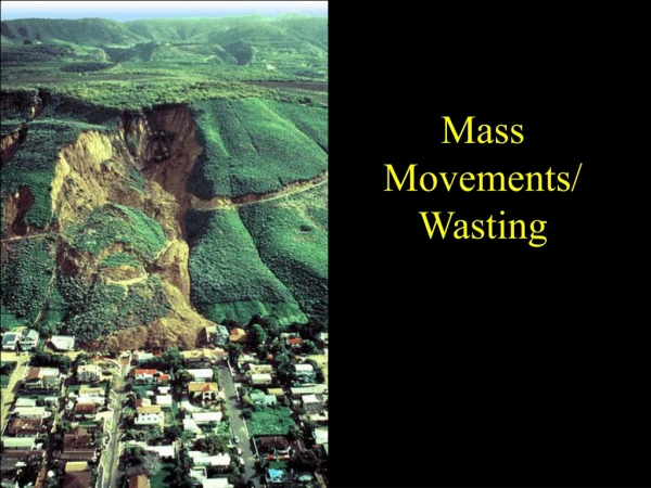
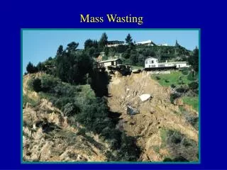
Mass Wasting. Mass wasting / slope failure / landslides refers to all downslope movement of rock, regolith, and soil under the direct influence of gravity. Speeds range from extremely fast to extremely slow. Landslide. General term for rapid downslope movements/failure.

E N D
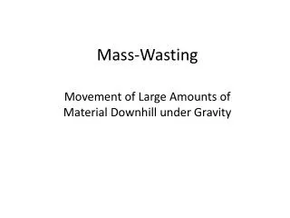
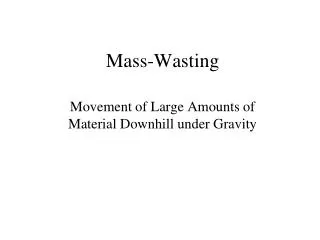
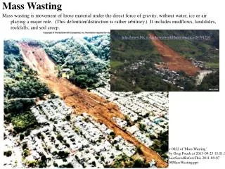
Mass wasting / slope failure / landslides refers to all downslope movement of rock, regolith, and soil under the direct influence of gravity. Speeds range from extremely fast to extremely slow.
Landslide • General term for rapid downslope movements/failure
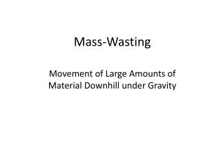
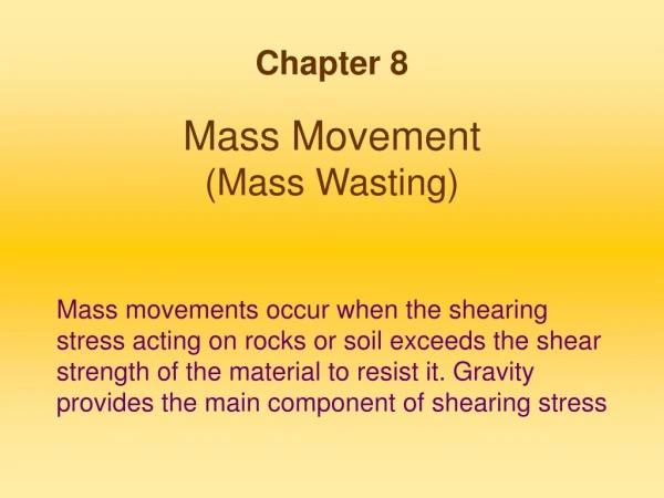
Classification of Landslides • Based on the type of MATERIALS involved, the SPEED (velocity) of movement, and the TYPE or mechanism of downslope movement.
Downslope Movements • Types • Fall • Topple • Flow • Slide • Subsidence
What types of material are involved? • ROCK – a hard or firm mass that was intact and in its natural place before the initiation of movement. • SOIL – an aggregate of minerals and rocks that either was transported or was formed by the weathering of rock in place. a) Earth – 2 mm particles 80% b) Debris –2 mm particles < 20%
How fast does a landslide move? • Very Slow – e.g. Creep • Moderate – e.g.Slumps and earthflows • Rapid to Very Rapid - e.g. Rockfalls and Avalanches
Halsema Highway Fall http://anaheim-landslide.com/types.htm H. Cabria, 2002 Colorado River Similkameen Valley, BC http://www.science.ubc.ca/~geol351/imgset.html www.goodearthgraphics.com/photo/ geology/rockfall.jpg
Topple Charmouth, UK http://anaheim-landslide.com/types.htm Chaco Canyon, NM www.charmouth.org/html/geology/ geology%20gallery/gallery.ht http://www.science.ubc.ca/~geol351/imgset.html
Slide Liard River, BC http://anaheim-landslide.com/types.htm Halsema Highway Valtellina, Italy H. Cabria, 2002 http://www.science.ubc.ca/~geol351/imgset.html http://www.science.ubc.ca/~geol351/imgset.html
www.brookes.ac.uk/geology/ 8361/images/mudflow.gif Mt. Pinatubo Lahars Flow South Nation River, Ontario http://www.science.ubc.ca/~geol351/imgset.html http://anaheim-landslide.com/types.htm El Salvador Mt. Pinatubo Lahars http://www.science.ubc.ca/~geol351/imgset.html
Creep Halsema Highway H. Cabria, 2002 http://anaheim-landslide.com/types.htm Black Hills, South Dakota academic.emporia.edu/aberjame/ struc_geo/primary/prim31.jpg www.geol.umd.edu/~nathalie/GEOL120.htm
Thistle Slide, Utah Complex types Frank Slide, Alberta Huascaran Avalanche, Peru http://www.science.ubc.ca/~geol351/imgset.html Colalo Landslide http://www.science.ubc.ca/~geol351/imgset.html S. Catane, 1999
www.geol.umd.edu/~nathalie/GEOL120.htm Water infiltrating into unstable slope increases pore pressure (“loosens” particles) and adds more weight to slope, favoring failure. Triggers: water input Mudslide after hurricane Mitch, Fall 1998 Millbrae CA, March 2000
Triggers: earthquake Ground shaking due to earthquake activity can facilitate slope failure. Northridge earthquake, CA, 1994 Nevados Huascaran, Peru, 1970 (18 000 dead) www.geol.umd.edu/~nathalie/GEOL120.htm
How human activities increase the frequency of landslides? • Logging operations • Construction leads to oversteepening of slopes - road cuts, quarrying or open-pit mining operations • Buildings and structures on a naturally unstable slope • Irrigation, watering the lawn, using septic tank for sewage disposal
Landslide Control Zoning is an effective way of reducing landslide-related risk, by keeping people from building and living in, or controlling the type of structure built in landslide-prone areas. This approach however is not always viable. Riprapwall to control undercutting by stream Slope stabilization measures can greatly reduce the risk of catastrophic slope failure. In some cases, however, this only serve to delay the inevitable. www.geol.umd.edu/~nathalie/GEOL120.htm
Slope stabilization: ground anchoring Drilling to install rock bolts and water pressure monitors (piezometers) Ground anchoring (bolting) Drillingand bolting across plane of weakness www.geol.umd.edu/~nathalie/GEOL120.htm
Slope stabilization:retaining structures Geogrid holds unconsolidated material in place Wire mesh Wire baskets filled with rock www.geol.umd.edu/~nathalie/GEOL120.htm
Slope stabilization: keeping the water out Short-term precaution against further water input and erosion Drains and trenches keep water from infiltrating the top of a slump Revegetation and drainage www.geol.umd.edu/~nathalie/GEOL120.htm
Shelters In some landslide- or avalanche-prone areas, slope stabilization is impractical due to the scale of the unstable slope. This is particularly true for roads in mountainous areas. In this case, sheds are used to divert slides from the road (and people on it). (Note use of old tires to absorb shock of falling rock.) www.geol.umd.edu/~nathalie/GEOL120.htm
Slope Stabilization Marcos Highway Tuba Fault Fly-over Rockshed Rock fence Shotcrete H. Cabria, 2002
Mankayan Landslide S. Catane, 1999
S. Catane, 1999 S. Catane, 2000 H. Cabria, 2002 Mankayan Landslide Aurora Street - 1999 2002 2000
Mankayan Landslide H. Cabria, 2002 The small PVC pipes were connected to a bigger pipe that directly drains into the creek located below the slope. H. Cabria, 2002 PVC pipes are used to prevent waste water from infiltrating the slope.
Cherry Hills Landslide (Photo by R. S. Punongbayan)
Photo of landslide in Punta, San Francisco, Panaon Island, Southern Leyte, Central Philippines. December 17 – 20, 2003
The andesites are moderate to highly weathered while the matrix of the breccia is completely weathered. Soil thickness including highly weathered rocks is about 10 m.
Land Subsidence: Causes • Man-made: Withdrawal of subsurface support (removing water, petroleum, rocks voids) • Downwarping due to sedimentation, ice loading, dewatering and compaction of sediments • Folding or faulting or earthquake • Collapse of underground cavern (sinkhole)