Download
1 / 19
190 likes | 194 Views
This project explores the changing distribution of Russia's Finnic languages through community-based data from the 1926 and 2002 censuses. The project aims to create detailed language maps to understand the historical dynamics of language situations in the 20th century.

E N D
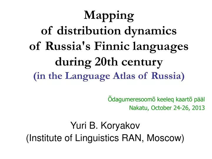
Mapping of distribution dynamics of Russia's Finnic languages during 20th century(in the Language Atlas of Russia) Yuri B. Koryakov (Institute of Linguistics RAN, Moscow) Õdagumeresoomõ keeleq kaartõ pääl Nakatu, October 24-26, 2013
General remarks:Language mapsvs.Linguistic maps • Language maps demonstrate the spread of languages, or of their dialects, unified by: • common territory (Language Atlas of China. S. A. Wurmet al. (eds). 1987) • common genealogical affiliation (Коряков Ю.Б. Атлас кавказских языков) • another common characteristic (Atlas of Languages of Intercultural Communication in the Pacific, Asia, and the Americas, 1996). • Linguistic maps demonstrate the spread of linguistic phenomena, by means of dots, isoglosses, or areas • within one language (e.g. on dialectological maps) • in one region (e.g. Общеславянский лингвистический атлас1965–2011, Atlas Linguarum Europae1975–2002) • world-wide (WALS 2005/2008)
Atlas of the Uralic Languages Language Atlas of Russia Finnic languages Mapping of Russia's Finnic languages is the intersecting task of two the recently launched projects:
They have different scopes: • Scope of Language Atlas of Russia • Scope of Atlas of the Uralic Languages …but similar aims and methods.
The community-by-community method consistently applied for the whole area. For Russia, the 2002 census ethno-linguistic data for all 2938 urban and 145 196 rural communities will be plotted on the electronic map. North Karelia sample (2002 census)
The community data of 1926 census are available for the many regions and will be compared to 2002 data that shows us the historical dynamics of changes in language situations during 20th century. North Karelia sample (1926 census)
Then linguistically homogeneous areas will be drawn on base of those community-base data, subsequently generalized Linguistic profiles of individual communities Areas generalized from communities North Karelia sample (2002 census)
Another example, not from Finnic languages Linguistic profiles of individual communities Areas are generalized from communities Example map of NW part of Karachaevo-Cherkessia
The question is still open whether similar data can be obtained for Finland, Estonia, Hungary and relevant adjacent areas. Main features of the projects
Some maps will be quite general, such as this map of Finnic and Saamic languages
While some will be very focused, such as this map of Setu area in Russia
Such detailed maps will be gradually assembled in one big patchwork, one big map • .
Importance of such investigation • Köppen’s map shows much wider distribution of Fennic languages in mid-19 c.
Disappearing of Finnic languages If in early 20th c. speakers of Finnic languages were in the majority in many parts of this spacious area, by the end of the century they disappeared in some places and became minority elsewhere. Reduction of the Votic territory in the 20th century
Historical language maps Stage 2: Locations of language/ethnic finds Stage 3: Language boundaries Stage 1: Historic “base” (towns, sites, boundaries) Source: Языки мира: Балтийские языки. М., «Academia», 2005.
Historical language maps Changes in time: shrinking of the Liv area from 10 c. to 13 c. Source: Языки мира: Балтийские языки. М., «Academia», 2005.
Postscriptum • The main challenges are: • Lack of sources for earlier periods for many areas (19 c. and early 20 c.) • Lack of detailed data for countries other than Russia • Projects’ website will be somewhere here: http://www.lingvarium.org/russia/index.shtml • My e-mail: ybkoryakov@gmail.com