Download
1 / 15
150 likes | 265 Views
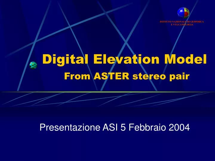
ISTITUTO NAZIONALE DI GEOFISICA E VULCANOLOGIA. Digital Elevation Model From ASTER stereo pair. Presentazione ASI 5 Febbraio 2004. ASTER stereo pair acquisition. ASTER band 3N (Nadiral view) and 3B (Backward view) can be used as stereo pair for Digital Elevation Model (DEM) determination.

E N D
ISTITUTO NAZIONALE DI GEOFISICA E VULCANOLOGIA Digital Elevation ModelFrom ASTER stereo pair Presentazione ASI 5 Febbraio 2004
ASTER stereo pair acquisition • ASTER band 3N (Nadiral view) and 3B (Backward view) can be used as stereo pair for Digital Elevation Model (DEM) determination.
Parallax and Elevation Geometry • Algorithm for measurement height (Dh) from parallax difference (Dp) in an stereo pair. Base (B) is equal to X. Dh is related to the camera orientation angle (a) and the time interval (Dt) required to record both the top and the bottom of the object. • Dh = 0.7 Dp for ASTER
Mt Etna imaged by ASTER • Band 3N • Band 3B
Previous Approach Band 3N FFT Band 3B • Define a neighborhood for each pixel in the reference image (e.g. band 3N) • Use the Fast Fourier Transform (FFT) and find the best correlation in the input image (e.g. band 3B)
Drawbacks • Processing time: from 76 to 94 hours to process a full ASTER stereo pair (4980x4200 pixels) • Misregistration in area of mountains where parallax can be of 100-200 pixels
Example 1 • ALGERIA: DEM retrieved from the 24/10/2001 ASTER level 1b image
Example 2 • ALGERIA: 3D view from the DEM
New METODOLOGY • Identification GCP on 3N (reference) and 3B (warp) images • Deformation model • Parallax retrieval pixel by pixel • Digital Elevation Model from parallax
Identification GCP • Wavelet Transform using “à Trous” algorithm • Maxima detection on both 3N and 3B images using wavelet detail coefficientes • Maxima matching using a Fast Fourier Transform (FFT)
“à Trous” algorithm = + Wavelet detail coefficient images sorted by decreasing spatial resolution. The number of images depends on number of trasforms. Original image Wavelet smoothed image
Maxima detection • Threshold image with standard deviation s • Maxima detection in significant features • FFT for matching 3N and 3B maxima
Deformation model • Band 3N • Band 3B warped • Mathematical deformation model defining the relation between the coordinates (x,y) of the reference image and (X,Y) in the warp image.
Scaling GCPs = + Progressive coregistration starting from the coarse wavelet image up to image with the best resolution.
Conclusions • DEM realization depends on accuracy in control points identification • Best approach implies the use of the wavelet transform for GCP identification and the FFT for GCP matching between reference and input image • This approach guarantees a short processing time