Download
1 / 16
160 likes | 168 Views
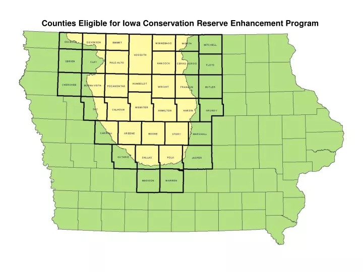
Counties Eligible for Iowa Conservation Reserve Enhancement Program. Site Identification. Geographic Information Systems (GIS) Section by section county-wide search Terrain analysis models Landowner Inquiries CREP Field Specialists Local SWCD or NRCS staff. Drainage area > 500 acres.

E N D
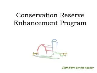
Counties Eligible for Iowa Conservation Reserve Enhancement Program
Site Identification • Geographic Information Systems (GIS) • Section by section county-wide search • Terrain analysis models • Landowner Inquiries • CREP Field Specialists • Local SWCD or NRCS staff
Drainage area > 500 acres • Wetland should be 0.5% to 2% of watershed • drainage area • To maintain wetland vegetation, no more than • 25% of the wetland should be >3 feet in depth • “Shall not damage the value of property in any • public or private drainage system without the • property owner’s consent.” CREP Site Criteria • Buffer : Wetland ratio not to exceed 4:1
GIS Coverages Used • Digital Elevation Models (DEMs) • Aerial Photography • Drainage Districts & Tile Drainage • Common Land Unit (CLU) • Hydrology • Soils • Animal Feeding Operations • Threatened & Endangered Species • Airports • Major Pipelines • Major Powerlines
Iowa Conservation Reserve Enhancement Program Drainage District Boundary Hydric Soils Subsurface Tile Drain CREP Wetland
Tile Outlet Potential Site Location Identify Potential Site
Potential Site Location Create One-Foot Contours Using Digital Elevation Models
Deep Water Wetland Buffer Delineate Wetland Area Using Contours