Download
1 / 25
250 likes | 491 Views
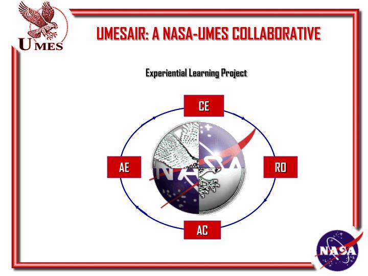
UMESAIR: A NASA-UMES COLLABORATIVE. Experiential Learning Project. CE. AE. RO. AC. Project Coordinators Abhijit Nagchaudhuri, Mark E. Williams, Geoffrey Bland University of Maryland Eastern Shore /NASA Wallops Flight Facility

E N D
UMESAIR: A NASA-UMES COLLABORATIVE Experiential Learning Project CE AE RO AC
Project Coordinators Abhijit Nagchaudhuri, Mark E. Williams, Geoffrey Bland University of Maryland Eastern Shore /NASA Wallops Flight Facility Participating students: Marcus Smith, John A. Wood, Sion Assfaw, Ani Panoti, Patrick Enekwe, Tiffani Manns, David Benn, Randy Gratton, Mahlon Pleasant, Commia Thomson, Onuan Akhibje, Tunda Alade and many others. Supporting Faculty/Staff and NASA Personnel : Dr. I.K. Dabipi, Dr. Leon Copeland, Dr. Daniel Okumbor, Mr. Rodney Spencer, Ms. Tracie Hedricks, Mr. Anthony Stockus, Mr. Jamie Maldonado, Mr. James W. Webster, Mr. Roland Wescott (NASA), Ms. Lisa Johnson (NASA), Ms. Susan M. Tull. Administrative support/leadership : Dr. Eddie Boyd Jr., Dean School of Business and Technology (UMES)
U M E S A I R PROJECT • Undergraduate Multidisciplinary Earth Science Air-Borne Imaging Research Project • Involves a group of undergraduate students in mathematics, science, engineering and technology (MSET) curricula in an “out of classroom” active learning and exploratory research experience in the field of remote sensing and its applications; • Introduces students to career pathways at NASA and providing them with a resume-building experience in the field of remote sensing and its applications; • Positive impact on recruitment and retention; • Interaction among interested faculty in MSET programs at UMES; • Participation of NASA Wallops Flight Facility engineers and safety officers in an advisory capacity; • Implementation of ideas delineated in a memorandum of understanding between University of Maryland Eastern Shore (UMES) and NASA GSFC.
U M E S A I R PROJECT Undergraduate Multidisciplinary Earth Science Air-Borne Imaging Research Project Vision: The vision of the UMESAIR project is to provide experimental learning primarily for undergraduate Mathematics, Science, Engineering and Technology (MSET) students. Students will interact in teams to investigate multi-disciplinary problems associated with applications of remote sensing. Mission: The mission of the UMESAIR project is to design, build, and fly an instrumented payload to remotely determine coastal topographic and vegetation features.
OBJECTIVES - Coastal Marsh Studies - Agricultural / Vegetation Studies - Land Use (Mapping) • Sidewalks • Field • Buildings - Environmental Studies • Chlorophyll analysis • Wildlife Studies
RECIEVER PROJECT TEAMS - Camera systems - Electrical Systems - Telemetry (RF) - Blimp / Gondola - Safety - Data Analysis - Image Analysis
BLIMP / GONDOLA PHASE I - Blimp 7 foot dia. 21 foot length 16 lb. lift - Gondola 7 lb.(max) (includes all components) Detachable from blimp - Helium 280 cubic ft. tanks Concept Completed
PHASE II-GONDOLA Improvements are: -greater stability -more space for analysis components
CAMERA SYSTEM -CameraTeam Camera - John A. Wood Mounting - Sion Assfaw Tunda Alade Scanning - Marcus Smith Onuan Akhibje - StudentCalculations Camera resolution Battery life / power Transmitter / receiver specs
Batter Pack b Camera Transmitter Battery Pack a Receiver On Ground TELEMETRY - Transmitter Mini Video Sender CV-991 Long Range (2500ft) - Specifications 2.4 GHz transmitters on S band 4-Channel simultaneous operation
TELEMETRY (RF) Mini Video Sender CV - 991 12v DC - Power Output Receiver Module Patented Hidden Antenna for Improved Performance Transmit Module 2.4GHz ISM Band for High Quality Video and Audio
ELECTRICAL • Power System • The following component is powered by battery a: • Transmitter #1 1.0 Amp hr. • The following component is powered by battery b: • Camera #1 0.6 Amp hr. • Total 1.6 Amps hrs. • The battery packs consists of a type ‘A’ Nickel-Metal Hydride cells connected in series • The battery packs are capable of supplying the Amp load for more than 120 minutes while maintaining a voltage of 12.0 volts at 0.5 amps to the Transmitter and 5.0 volts at 0.3 amps to the Camera. • External power, battery voltage, current monitoring, and battery charging will be available from the payload ground support equipment.
Camera video out #1 Gnd bus +12v Battery- a SPST +Transmitter- +5v Battery- b SPST +Camera- Phase II Electrical System
WINCH / TETHER - Tether Spectra 1000: .07 in. dia. 750 lb. Test 0.14 lbs. / 100ft. ft • Automated hydraulic winch custom designed to retract the blimp @ 100 ft./min so that the blimp can come down from a height of 2500 ft. or so in less than 30 minutes.
SAFETY - Weather-based Launch Criteria - Personnel Safety - Seam Splitter Not Power Dependent Altitude Controlled - Ni-Chrome Wire Splitter Independent Battery Supply Altitude Controlled Circuit incorporates a battery, 25 cm of Nichrome wire, and a set of barometric pressure activated switches.
DATA ANALYSIS 2 Data loggers were installed on the Phase 1- Gondola during the fall semester of 2002. They measured pressure, temperature, relative and absolute humidity, light intensity, and dew point. Data logger are self contained, easy to install, and lightweight.
IMAGE ANALYSIS • MultiSpec (Purdue University) • The MultiSpec has been downloaded from the internet. The capabilities of the software and its integration with the Phase-I of the project is currently under investigation. Six different classification algorithms are available: use of minimum distance to means, correlation classifier (SAM), matched filter (CEM), Fisher linear discriminant, the Gaussian maximum likelihood pixel scheme, or the ECHO spectral/spatial classifier. • ERDAS image analysis software has been ordered and will be integrated with the project with the assistance/support of Geographical Information Systems efforts that are ongoing in the UMES Campus.
IMAGE ANALYSIS CLASS DISTRIBUTION FOR SELECTED AREA Thematic#Sample Image Class Percent 1 background 0 0.0 2 pinkflower 34714 11.3 3 leaf 34323 11.2 4 plant 54192 17.6 5 redbrick 14510 4.7 6 plant2 3348 1.1 7 soil 50347 16.4 8 soil2 6919 2.3 9 yellflower 6322 2.1 10 leaf2 63036 20.5 11 redbrick2 37603 12.2 12 chair 1886 0.6 Total307200 100.0
Image Anaylsis From November 1, 2002 CLASS DISTRIBUTION FOR SELECTED AREA No: Class Samples Percent 1 concrete 61211 11.3 2 red shed 2231 0.4 3 grass 18603 20.0 4 orange leaves 766 0.1 5 green leaves 74877 50.7 6 yellow leaves 57617 10.6 7 treeline 37050 6.8 Total 542355 100.0
CURRENT STATUS (PHASE II) • Gondola constructed • Mounting the camera, transmitter, and power supply on the new Gondola. • Viewing and recording the Flights over the internet. • Matlab with image processing toolbox • Project website initiated ( http://www.umes.edu/umesair)
FUTURE APPLICATIONS - Visual Surveillance for NASA Wallops Island Range - Wildlife management efforts in Deal island - Remote Thermal Imaging (Night) - PHASE II & Beyond • Unmanned Aerial Vehicle • Global Positioning System • Receiving Antenna • Scanner • Gimbaled Platform
SIGNIFICANT LEARNING OUTCOMES • Ability to apply knowledge of mathematics, science, engineering and technology; • Ability to work in multi-disciplinary teams; • Ability to integrate knowledge from many different fields; • Improved critical thinking skills; • Experience with project planning and execution; • Improved communication and presentation skills; • Exposure to NASA’s strategic enterprises in Earth Science and • Aerospace research; • Interaction with NASA engineers and other personnel. • Utilization of internet technology for collecting and disseminating information ( http://hawk.umes.edu/bbrs)
IMPACT ON MOTIVATION AND RETENTION • Student teams and student leadership have moved the project forward with guidance from faculty and NASA engineers and officers. • Twenty to twenty-five students have regularly participated in group meetings including a critical design review on all working Fridays subsequent to partial funding of the project by NASA GSFC in October 1999. • Faculty members are getting an opportunity to observe student performance in an active learning environment. This is providing an additional dimension for evaluating student ability and performance which is likely to improve retention of students with poor “test-taking” skills. • The “out of class room” informal setting of the project is allowing students • to learn according to their individual “learning styles”. • Involvement in the project is allowing students to get exposed to career opportunities at NASA.