Download
1 / 23
230 likes | 348 Views
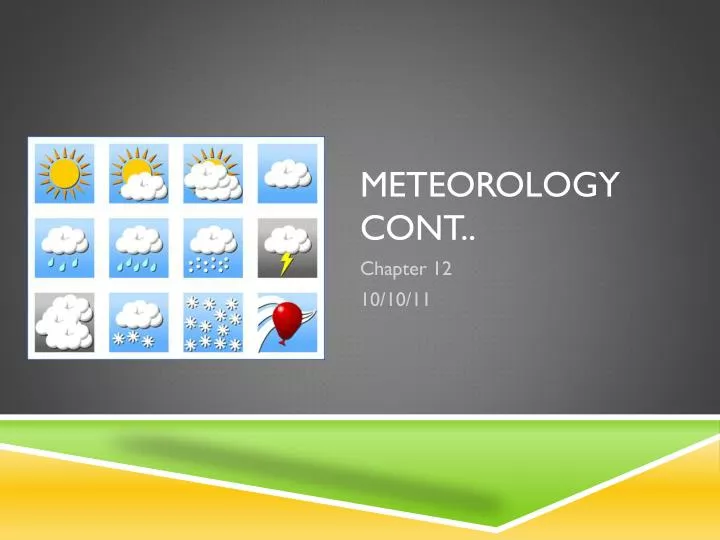
Meteorology Cont. Chapter 12 10/10/11. Weather Cartoon. Cartoon. Coriolis effect . The deflection of air caused by the Earth's rotation. To the right above the Equator To the left below the Equator This combines with the heat imbalances found on Earth to create the various winds.

E N D
Meteorology Cont.. Chapter 12 10/10/11
Coriolis effect • The deflection of air caused by the Earth's rotation. • To the right above the Equator • To the left below the Equator • This combines with the heat imbalances found on Earth to create the various winds. • 1). Trade winds, • 2). Polar easterlies, • 3). Prevailing westerlies.
Predictions • In what direction will a straight line turn when drawn from top to bottom on a page spinning clockwise? • In what direction will a straight line turn when drawn in the same direction if the paper is rotating in a counterclockwise direction. • Draw both predictions in your notebook.
Coriolis effect activity • In your group assign roles • 1). Holder • Keeps poster board from moving • 2). Spinner (Need 2) • Spin the poster board • 3). Line Drawer • Draws while poster is spinning • 4). Labeler • Marks the direction of rotation and path of line on the poster
Procedure • 1). Get in your groups • 2). Find a free spot on the wall or whiteboard • Right outside my door in the hall is OK • 3). Holder: Place your finger in the center of the poster and hold tightly • 4). Spinners: Practice rotating the poster against the wall • 5). Line Drawer: Practice drawing straight from top to bottom while the spinners are spinning. • 6). Once you feel comfortable, begin the experiment.
Procedure Continued • 7). Spinners turn the poster clockwise • 8). Line drawer draws a line from top to bottom. • 9). Once the line is finished labelers need to write the direction of spinning and place an arrow on the line. • 10). Turn the poster over and repeat with counterclockwise spinning.
What did you get? • Record your group’s results in your notebook. • Check your predictions • Were they correct?
Independent Reflecting Time • How would the spin of the Earth and the Coriolis Effect impact wind movement? • How should wind move in both hemispheres
Coriolis Effect • All based on perspective • http://www.youtube.com/results?search_query=merry+go+round+coriolis&aq=0&oq=merry+go+round+corio • On the rotating object you see deflection • Off the rotating object, the ball appears to move in a straight line • Northern Hemisphere: Deflection always occurs to the right • Southern Hemisphere: Deflection always to the left
Individual Reflection Time Why is wind important?
Basic wind must knows • Wind is named after where it is coming from. • Examples on Board
3 Main Types of Global Wind Names 3 Surface Winds 1). Trade Winds 2). Polar Easterlies 3). Prevailing Westerlies Trade Winds, Polar Easterlies, and Prevailing Westerlies Named after where the come from Rise at lows (usually warm places) Sink at highs (ususally cold places)
What is a trade wind? • A global wind system that flows at 30 degrees north and south latitude, where air sinks, warms, and returns to the Equator in a westerly direction. • Cold Air Sinking at 300 and warm air rising at the equator; 00. • Label this on your diagram of the Earth
Trade winds • Wind deflecting toward the equator from 300 North or South • Why? • This is where the warmest temperatures are …. • Remember Convection • Hit ITCZ- Band around the equator where air is converging/coming together.
What are the Prevailing Westerlies? • A global wind system that lies between 30 and 60 degrees north and south latitude where surface air moves toward the poles in an easterly direction; blow from west to east. • Comes out at 300 and moves toward the poles at 600 • Discuss where these winds should go on your diagram with your shoulder partner…Label these on the Earth diagram.
Prevailing westerlies • Called a westerly because that is where the wind is blowing from…west to east • Wind Deflects from 300 to 600
What are the polar easterlies? • A global wind system that lies between 60 degrees latitude and the poles and characterized by very cold air. • Called Easterlies because they flow from the East to the West • Label the location of these on your Earth diagram.
Polar Easterlies • Wind is Deflecting from the Poles to 600. • Air is moving from a very cold location to one less cold
What is the jet stream? • High-altitude, narrow, westerly wind band that occurs above large temperature contrasts and can flow as fast as 185 km/h. • Occur when winds meet • Very different temperatures and pressures cause wind.