Download
1 / 16
160 likes | 272 Views
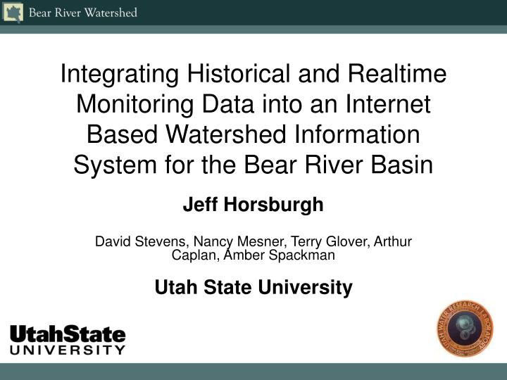
Integrating Historical and Realtime Monitoring Data into an Internet Based Watershed Information System for the Bear River Basin. Jeff Horsburgh David Stevens, Nancy Mesner, Terry Glover, Arthur Caplan, Amber Spackman Utah State University. EPA Targeted Watersheds Grant.

E N D
Integrating Historical and Realtime Monitoring Data into an Internet Based Watershed Information System for the Bear River Basin Jeff Horsburgh David Stevens, Nancy Mesner, Terry Glover, Arthur Caplan, Amber Spackman Utah State University
EPA Targeted Watersheds Grant • Develop an integrated, Internet-based Watershed Information System (WIS) • Investigate the feasibility of a water quality trading program • Develop a water quality model to support the water quality trading program
Why the Bear River Basin? • The Bear River crosses state lines 5 times! • Multiple organizations generating data within the watershed • An identified need for a common site for data and information
Bear River WIS Features • Watershed wide coordination web pages • Digital library • Resource guide • Calendar and news events • Comprehensive data warehouse • GIS data • Historical monitoring data • Realtime monitoring data • Data visualization and statistical tools
Comprehensive Data WarehouseSources of Monitoring Data • Historical data • Streamflow - USGS NWIS • Water Quality - EPA STORET • Climate – NRCS SNOTEL, NCDC, etc. • Local data sources • Realtime monitoring data • Streamflow - USGS NWIS • Water Quality - Utah State University • Diversion Flows - Utah Division of Water Rights • Reservoir Releases - PacifiCorp • Local canal companies and water users
How Do We Store and Serve Disparate Monitoring Data? • Robust • Interactive • Simple… • Core Tables • Stations • Parameters • Data Original WIS Relational Database
Storing Disparate Monitoring DataHODM - A More Robust Schema • One database schema to store all observational data • CUAHSI Hydrologic Observations Data Model (HODM)
HODM Features • Generic schema • Can be implemented in any relational database system • Store metadata • Enough info to unambiguously interpret each observation • Data levels and versioning • Level 0: Raw sensor data • Level 1: Processed or QAQC checked data • Level 2: Derived Data • Level 3: Interpreted Products • Trace source and provenance of data • General and Robust enough to store all types of observations • Hydrologic • Environmental • Climatic
Acquiring Monitoring Data - Historical • Sources • Download data from internet sources • EPA STORET data • USGS NWIS data • Local agencies or organizations • Primarily word of mouth • Challenges • Each source has their own data format • Database must be periodically updated • Can build automated filters to parse data into the observations database • Value added • All data available in a consistent format in one place
Base Station Computer(s) Automatic Ingestion of Realtime Data Managed Sensor Networks Sensors Data Service Application Telemetry Network Central WIS Observations Database Internet
Automatic Ingestion of Realtime Data Web Scraping Sensor Network USGS NWIS Repository Internet Web Scraper Application Sensor Network Utah Water Rights Repository Sensor Network PacifiCorp Repository Central WIS Observations Database
Web Server Serving Data over the Internet Central WIS Observations Database Internet User Interaction through Web Applications Programmer Interaction through Web Services
Data Analysis and Visualization Tools • Internet Map Server for GIS Information • Time Series Analyst for streamflow, water quality, climate, etc.
SQL Queries passed from Time Series Viewer to the server database Time Series Analyst Query results can be exported to a browser window or directly to Microsoft Excel Central WIS Observations Database User Interaction through Web Browser Plot image generated by ProEssentials is passed back to the Time Series Viewer and displayed in browser Query results are passed to the ProEssentials plotting control ProEssentials Plotting Control http://water.usu.edu/analyst/
Project Partners http://www.bearriverinfo.org Utah Water Research Laboratory United States EPA Bear River Commission Water Quality Task Force Wyoming DEQ Idaho DEQ Utah DEQ