Download
1 / 15
150 likes | 154 Views
This workshop aims to foster collaboration and coordination between the European Mars geologic mapping initiative and the NASA/USGS Planetary Geologic Mapping Program. The workshop will cover topics such as integrating data sets, mapping techniques, interpretation of Mars' geology, and selecting landing sites. Attendees include geologists, physicists, and engineers from universities, research institutions, space agencies, and geological surveys.

E N D
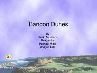
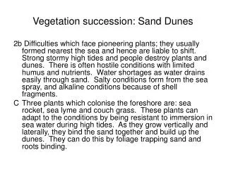
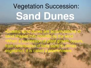
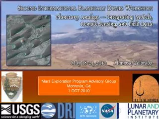
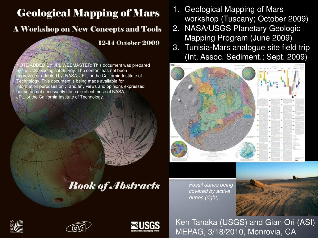
Geological Mapping of Mars workshop (Tuscany; October 2009) • NASA/USGS Planetary Geologic Mapping Program (June 2009) • Tunisia-Mars analogue site field trip (Int. Assoc. Sediment.; Sept. 2009) NOTE ADDED BY JPL WEBMASTER: This document was prepared by the U.S. Geological Survey. The content has not been approved or adopted by, NASA, JPL, or the California Institute of Technology. This document is being made available for information purposes only, and any views and opinions expressed herein do not necessarily state or reflect those of NASA, JPL, or the California Institute of Technology. Fossil dunes being covered by active dunes (right) Ken Tanaka (USGS) and Gian Ori (ASI) MEPAG, 3/18/2010, Monrovia, CA
Why a Geological Mapping of Mars workshop? • European Mars geologic mapping initiative • High Resolution Stereo Camera and other new data, tools, approaches • European planetary geoscience community due to MEX • The need for coordination and collaboration with NASA/USGS Planetary Geologic Mapping Program
Organizers: International Research School of Planetary Sciences (IRSPS) and the U.S. Geological Survey (USGS) Sponsor: Agenzia Spaziale Italiana (ASI) Conveners Enrico Flamini-- Agenzia Spaziale Italiana, Rome, Italy Gian Gabriele Ori--IRSPS, Pescara, Italy Ken Tanaka--U.S. Geological Survey, Flagstaff, Arizona, USA Gerhard Neukum--Freie Universitat Berlin, Germany Angelo Pio Rossi--ISSI, Bern, Switzerland Coordinators General--Angelo Pio Rossi, ISSI, Bern, Switzerland GIS and imaging--Trent Hare and Jim Skinner, U.S. Geological Survey, Flagstaff, Arizona, USA, Stephan Van Gasselt--Freie Universitat Berlin, Germany Geological Mapping--Monica Pondrelli, IRSPS, Pescara, Italy; Ken Tanaka and Jim Skinner, U. S. Geological Survey, Flagstaff, Arizona, USA Local organization: Marinella Ercoli, ASI, Italy, Stefania Celenza, IRSPS, Italy, Adele Graziani, ASI, Italy
Organizers: International Research School of Planetary Sciences (IRSPS) and the U.S. Geological Survey (USGS) Sponsor: Agenzia Spaziale Italiana (ASI) • Workshop attendance • 78 participants • Most represented countries: • France • Germany • Holland • Portugal • United States • Italy • Also Argentina, Australia… • Participants • Geologists • Physicists • Engineers • From: Universities and research institutions, space agencies, geological surveys and space industry
Workshop topics: State of the art and future directions • Integration of data sets (optical, topographic, spectral, radar) • Mapping bases, techniques, standards, symbology (USGS) • Tools for mapping (GIS, visualization, web services, etc.) • Mapping approaches—geomorphic vs. geologic etc. • Terrestrial analogue geologic mapping and topical studies • Applications • Interpretation of geology, geophysics, climate history of Mars • Characterization and selection of landing sites • Operations of rovers and landers • Coordination of NASA (established) and European (new) mapping programs • Meeting report in March 2, 2010 Eos and wiki site • Articles in special issue of Planetary and Space Science
The NASA/USGS Planetary Geologic Mapping Program and Mars Geologic Mapping
History of USGS/NASA planetary geologic map publication • ~220 maps total published • Starting in 1962 • Moon, Mars, Mercury, Venus, outer planet satellites • 1:25,000 to 1:25,000,000 scales • Published Mars maps • 30-quadrangle series at 1:5M scale • Science-driven topical maps • Landing-site maps • Global maps • Maps of Mars in progress include: • Global map (1:20M) • Polar regions (1:2M) • W. Candor Chasma using HiRISE stereo (1:10K)
Current USGS/NASA mapping program • Supported by NASA Planetary Geology and Geophysics Program • Finances map authors and USGS work; supports 4-8 published maps per year • Provides guidance through PGG’s Geologic Mapping Subcommittee (GEMS) • USGS pr0vides: • Map bases • GIS data, tools, training • Editorial and nomenclature support • Web page
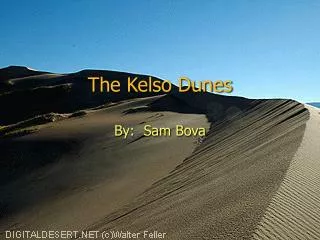
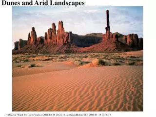
Tunisia field trip, post-IAS conference, Sept. 2009 (led by GianOri, ASI) Pre-empted by 9-11 Fossil dunes—seen by millions Scenes from “Star Wars Episode 1: The Phantom Menace”
C D • A. Gypsum evaporites, Chott el Gharsa • B. Cut section of irregular laminae from outcrop • Cavities from subaerial exposure (white arrows) • Microbial mats along discontinuities (black arrows) • C. Microbial map on top of gypsum lamina • D. Desiccated microbial mat • E. Extreme halophiles E
Geological Mapping of Mars Workshop • NASA/USGS Planetary Geologic Mapping Program • Mars analogue site field trip, Tunisia Questions?