Download
1 / 17
170 likes | 254 Views
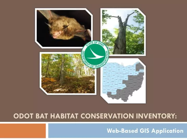
ODOT Bat Habitat conservation Inventory:. Web-Based GIS Application. Overview. The Goal The Challenges The Tool. The Goal: Property Inventory for ODOT.

E N D
ODOT Bat Habitat conservation Inventory: Web-Based GIS Application
Overview • The Goal • The Challenges • The Tool
The Goal: Property Inventory for ODOT Identify properties suitable for Indiana bat (Myotis sodalis) habitat conservation within the Indiana Bat Western Management Unit (WMU) Western Management Unit
The Goal: • Supports ODOT’s Mitigation Program • Off-sets bat habitat impacts caused by ODOT projects • Requested by US Fish & Wildlife Service (USFWS), as required by Endangered Species Act
The Challenge: • Organizing multiple data sources across a large geographic region • WMU covers 55 counties; (~60% of the state of Ohio) • Approximately 24,000 square mile search area Western Management Unit
The Challenge • Simultaneous data gathering by multiple people • ODOT-Office of Environmental Services – Client • Heritage Land Services (HLS) – Property Search (Real Estate) • EMH&T - Ecological Database, GIS, Mapping, Reporting • Data Management • Compile/organize multiple data sources gathered by different organizations • Decision Making (site selection)
The Challenge: Sources Guiding Inventory:
The Tool: WMU Inventory Website • Web-based GIS Application • Data can be compiled, stored, and reviewed by all interested parties • Secure • Application can be updated (attribute fields added/modified) – Data not static
The Tool: WMU Inventory Website • Platform: ARC GIS • User-friendly, well-known, versatile • Supported data sources guiding inventory • Overlay multiple data layers • Visualization of data • Customized searchable fields
The Tool – Website Main Page Search by County Zoom in/out Create new data points Turn on/off Layers
Site Details and Attributes Document and Photograph Uploads
The Tool: Advantages • Data Management • Compile/organize multiple data sources gathered by multiple people Central repository • Multiple users can upload data • Once created, anyone can use it! • Site selection assistance Data outputs, searchable function and report compilation
The Tool: Site Selection • Search– Provides filtering capability to allow for site section by different parameters and criteria CUSTOMIZABLE SEARCH CRITERIA Examples: County; Price per acre; Less than or Greater than specific acreage amount
The Tool: Data Output • Export Results: • Excel spreadsheet • KML file that can be viewed in Google Earth Example of Spreadsheet Output
The Tool: Results & Advantages • Results: • Interim report: 109 potential properties • Additional data collection : Identified 41 high-priority properties • Advantages: • Efficiency over standard approach • Data is in the hands of the decision makers • No “gatekeeper” • All users can access/export data, create maps, etc. • Time saver
The Tool: Relevance • Utilized for any complex inventory, multiple data layers • Technology applicable to any resource inventory project • Bridges, Stormwater outfalls, Safety projects
WMU Inventory Website QUESTIONS? Western Management Unit